
Historic Kelly Basin Walk
/
Introduction
Kelly Basin is on the south east side of Macquarie Harbour on Tasmania’s west coast. The towns of East and West Pillinger once stood on Kelly Basin and had a population of over 1000.

East Pillinger was established as a port for the North Mount Lyell Mining Company’s rail line which ran from Queenstown bringing copper to be exported. West Pillinger was the nearby government town. The Kelly Basin post office opened in 1898 and the town was abandoned in 1924 after the rival Mount Lyell Mining Company took over North Mount Lyell Mining. During its operation the railway that ran from Queenstown to Pillinger was in direct competition with the Mount Lyell Mining’s railway, which today is the West Coast Wilderness Railway (click here for our post on what today is a popular tourist train trip). This line ran from Queenstown to the port of Strahan. Not needing two lines, the Kelly Basin line was torn up and the town died.
Today there are still remnants of the port town of East Pillinger to be explored. This includes brick kilns, parts of buildings, giant metal boilers and the old wharf.

old east Pillinger wharf
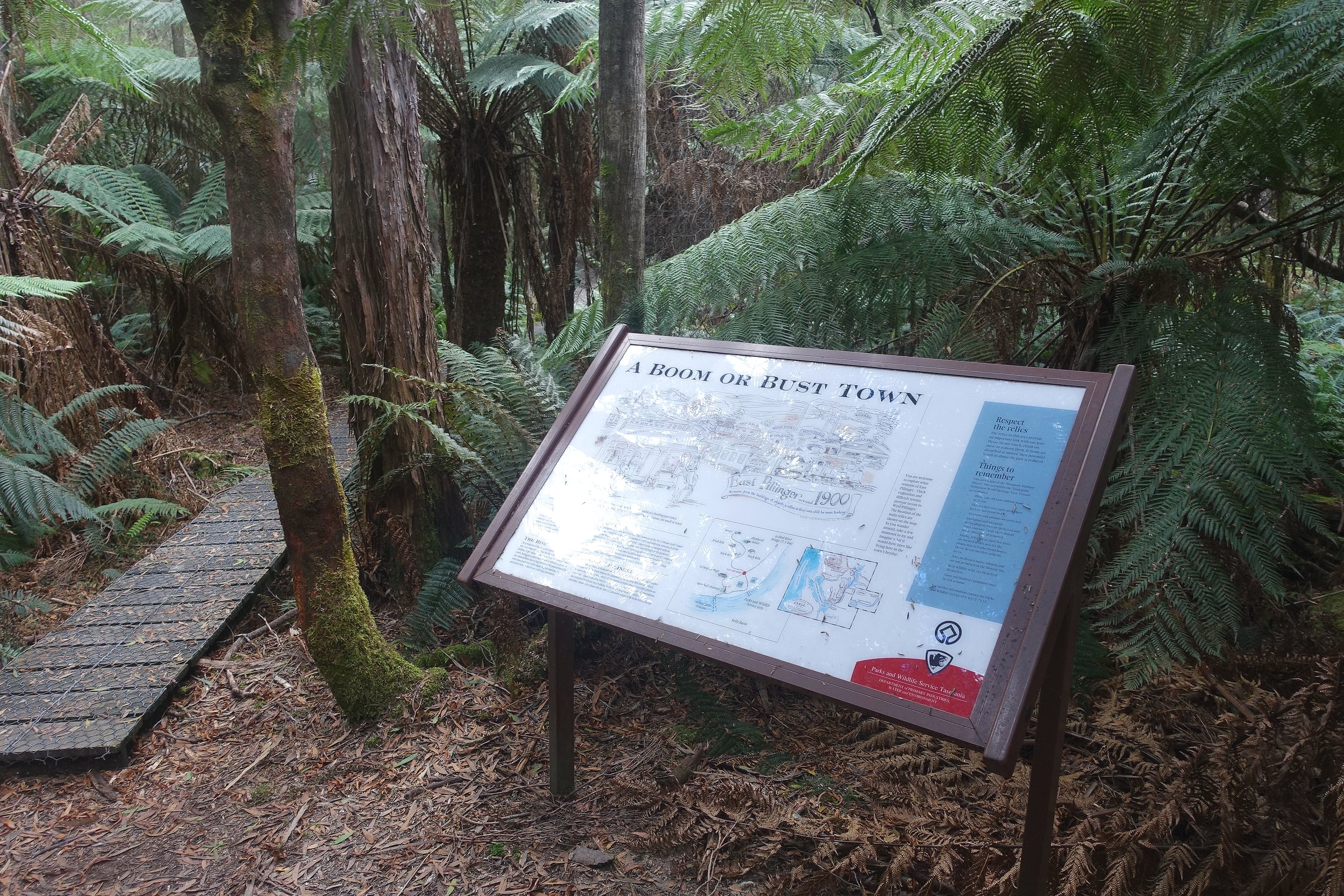
There is also useful interpretative signage to help make sense of it all.
We wanted to see for ourselves so headed off from Queenstown to do the half day walk.

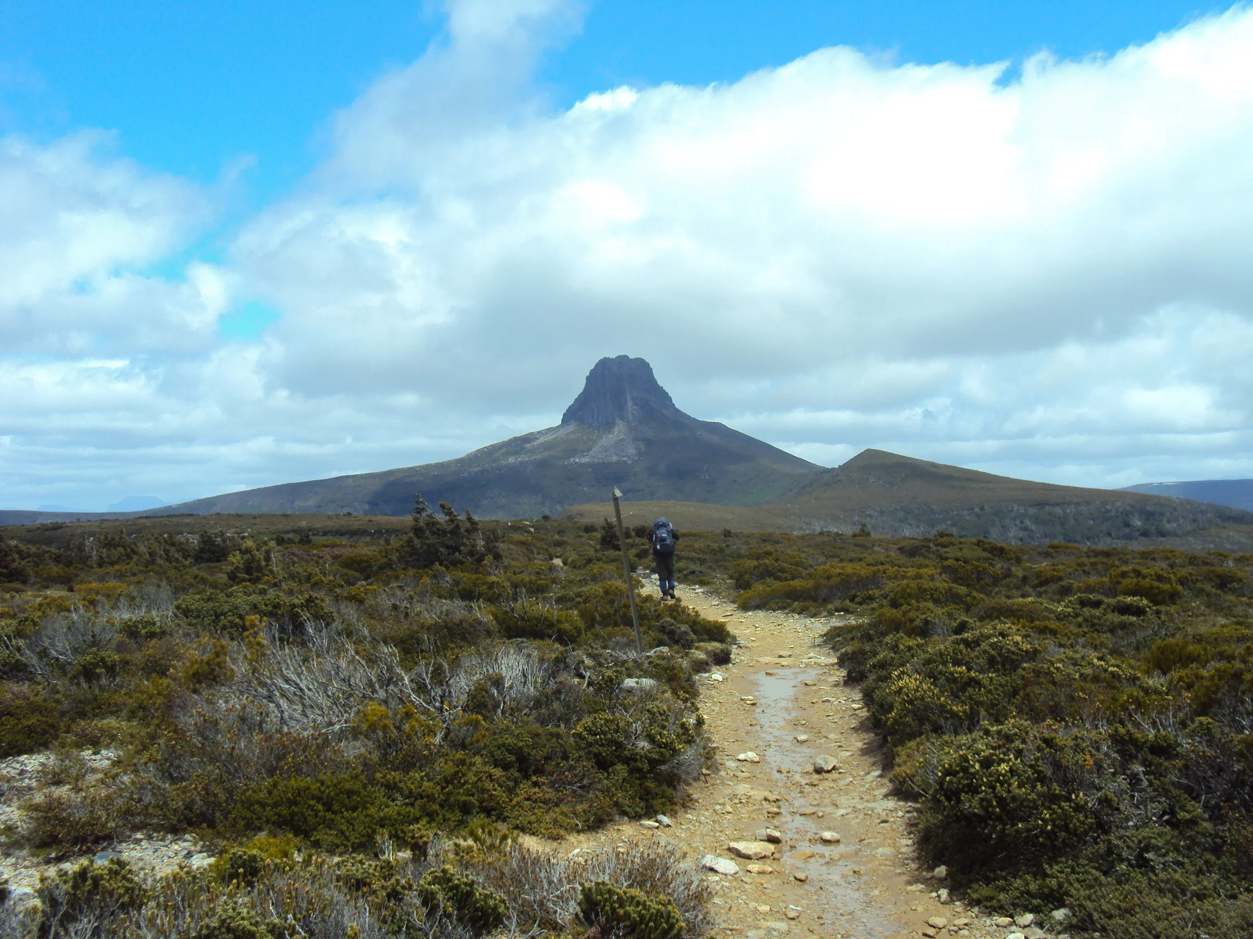
mt jukes
The Walk
To get to the start of the walk we drove out of Queenstown to the south on the Mt Jukes Road.

the last section of road into the start of the walk
The walk notes we had said that the last 5 kms of the drive were four-wheel drive only, but we’d read on-line that it was drivable in a conventional vehicle. As it turned out this stretch was through some of the original railway cuttings. It was narrow and it would’ve been tricky passing if we’d met another vehicle coming the other way. Fortunately, we didn’t, so our old Ford Focus managed the drive with ease.

There was a car park at the start of the work along with a picnic table, log book and information.

After completing the formalities, we started down the track.

We crossed a bridge over the Bird River at the beginning.
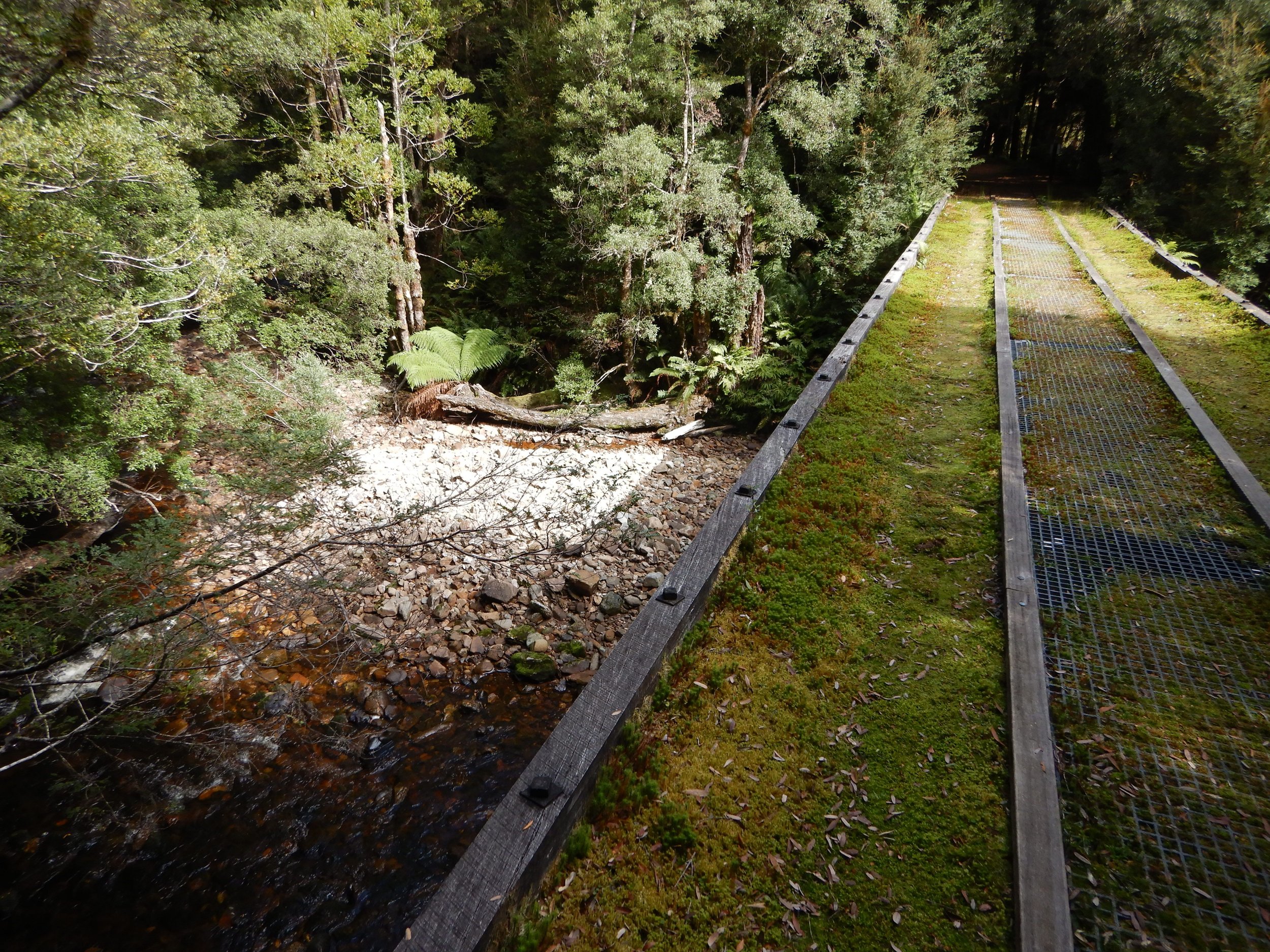
bridge over the bird river
The Bird River flowed to our left providing some nice photo opportunities and a very pleasant ambiance.

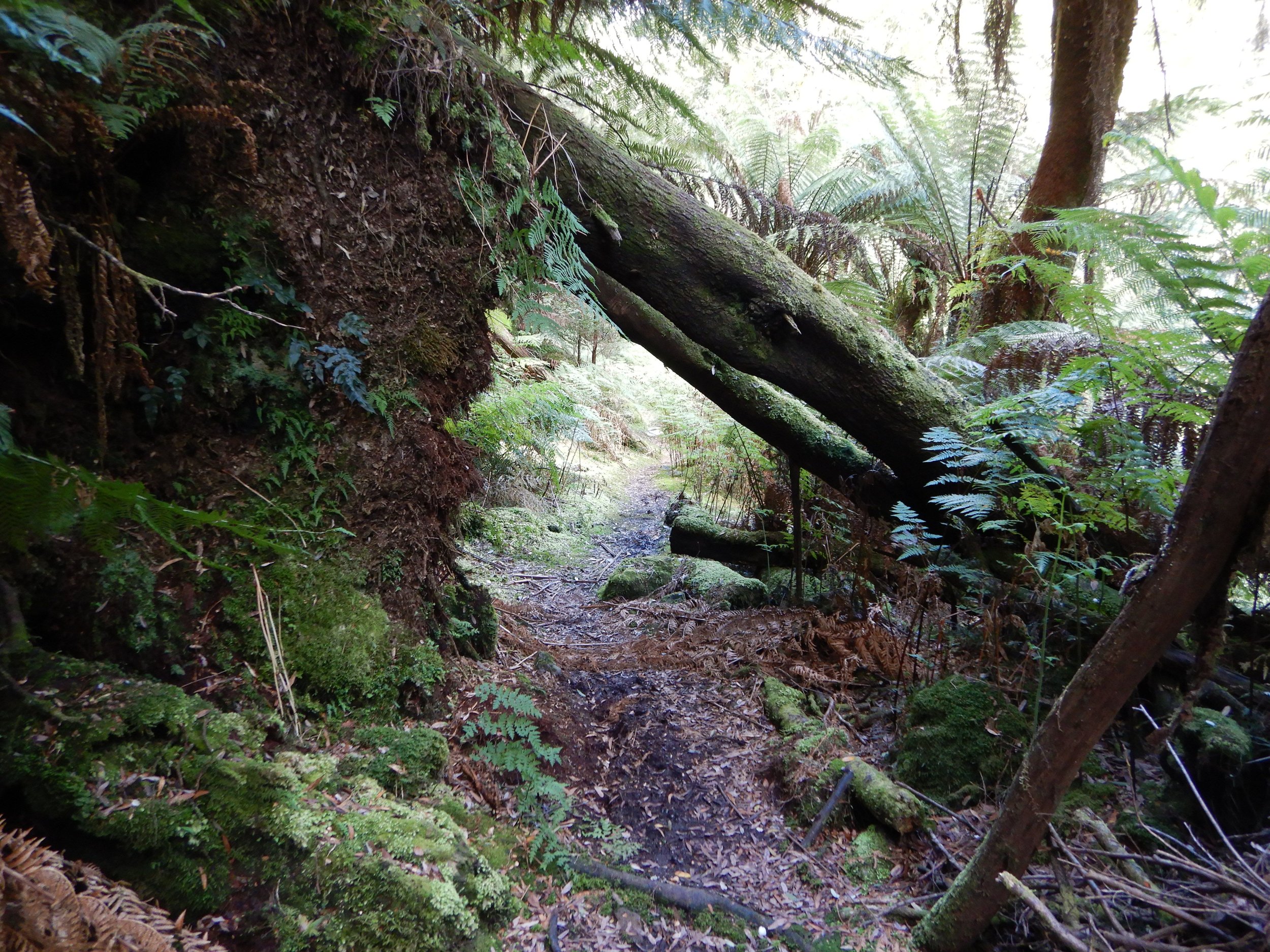
For the most part the track was flat and easy going.

There was evidence of the occasional landslide.

crossing the remains of a landslide
The old railway cuttings were very evident.
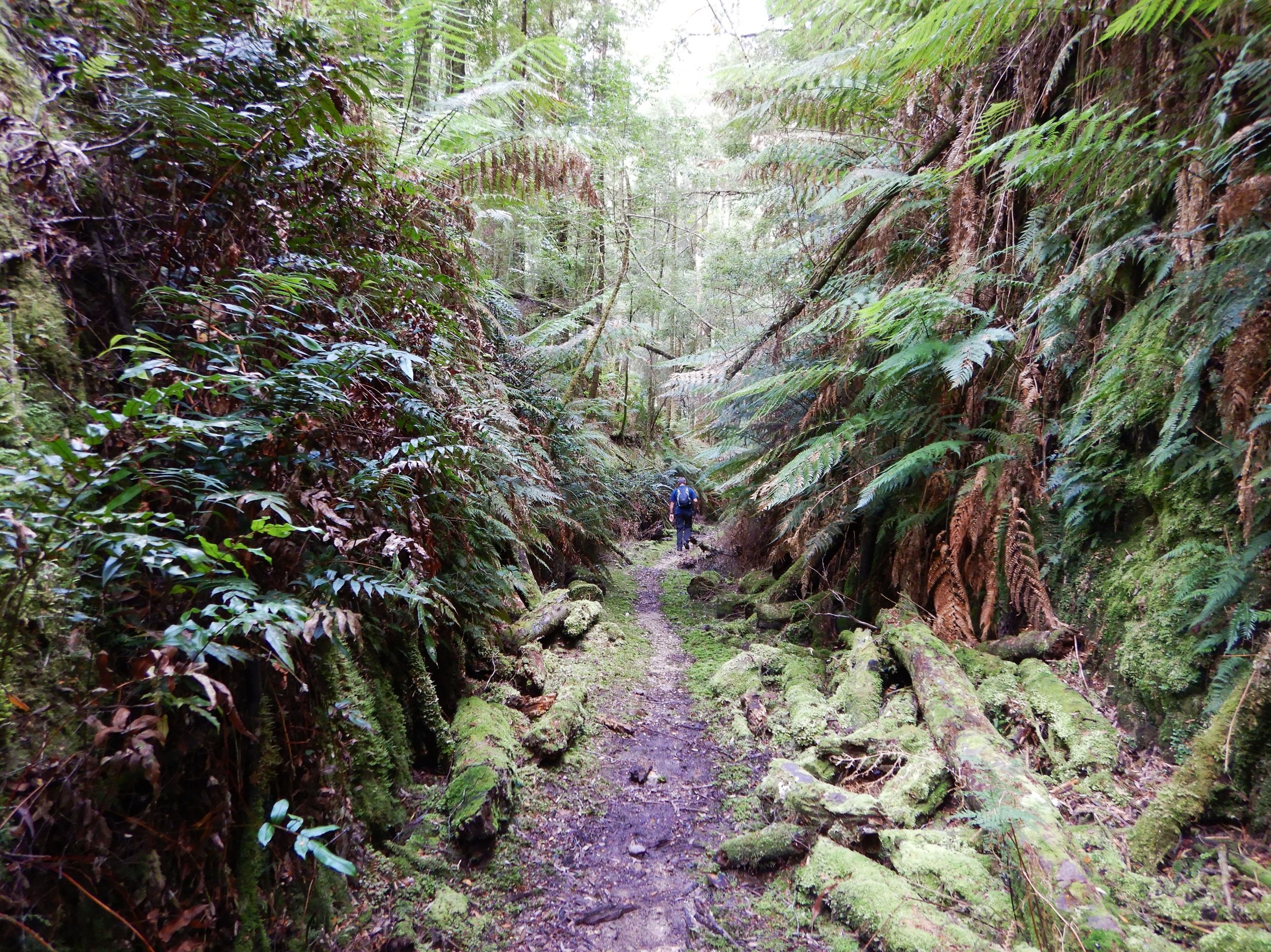
walking through an old railway cutting
The rainforest was green with abundant ferns.
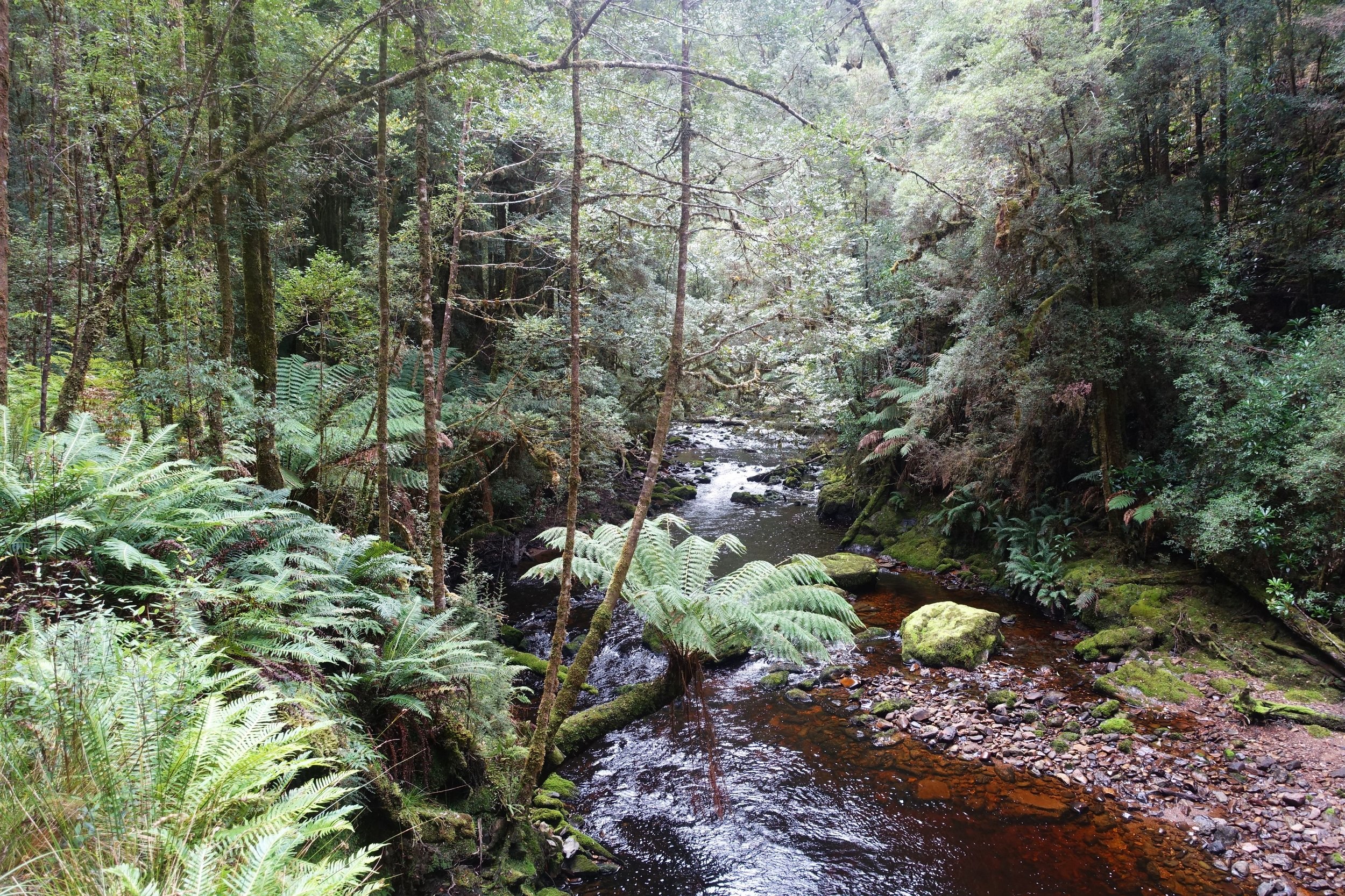
The Bird River kept us company until about the halfway mark.

The forest became thinner and scrubby.

Every now and then there was further evidence of the old rail line, including parts of bridge supports.

some remnant supports from an old railway bridge
After around an hour and a half we arrived at East Pillinger. We checked out the remains of the old wharf.

the rail tracks leading onto the wharf are still there
And what had been the chimney from the mess hall.

checking out the mess hall chimney
A number of abandoned brick kilns were worth a look.

old brick kilns
Several enormous boilers lay quietly in the forest.

After lunch and exploration, we retraced our steps back to the car. On our way back to Queenstown we stopped to take in the expansive sights at a couple of viewpoints.
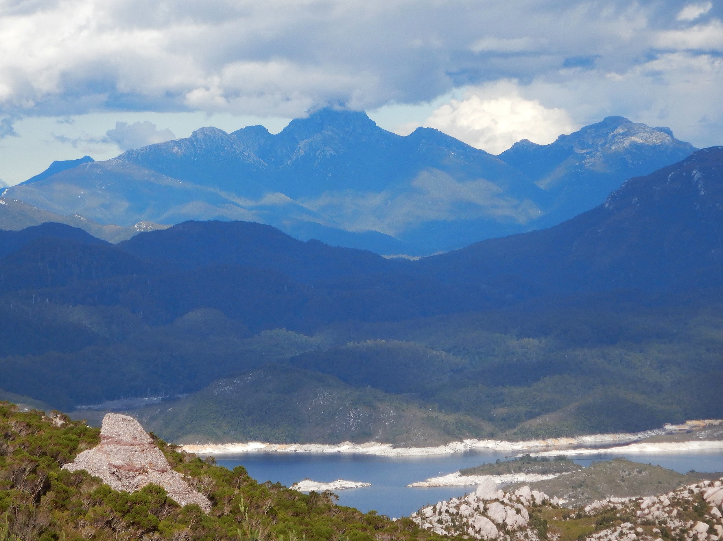
view of frenchmans cap from the mt jukes road
Conclusion
The walk took around 3 hours with an added half hour for exploring so we’d suggest allowing around 4 hours for the expedition once leaving the car park. The distance was 5.4 kms each way (10.8 kms in total).

We had sunny, warm weather which added to the experience. The drive south of Queenstown to get to the start of the walk is worthwhile in itself, so all in all an excellent day out.

Click here to access the National Parks website which has a map and more information. The walk is featured in the publication 60 Great Short Walks in Tasmania. We were impressed and agreed that it deserves its place among Tassie’s best short walks.
Ken and Cally


