
Two Walks in the Tarkine
/
Introduction
The term Tarkine or takayna, its Aboriginal name, is used to describe much of north west Tasmania, starting from just south of the town of Smithton to just north of Queenstown. It is a region of rainforests and rivers, imposing mountains and wild coastlines. It is currently unprotected. It is not gazetted as a national park or part of Tasmania’s nearby Wilderness World Heritage. There are ongoing efforts by many people to have this remedied to protect the area for future generations.

on mount murchison
In 2015 the Bob Brown Foundation published the book “Tarkine Trails”. To our knowledge this was the first comprehensive publication describing the Tarkine’s various walking, cycling and kayaking possibilities. We decided to delve into its pages and select a couple of day walks to give us a taste of what the Tarkine has to offer.

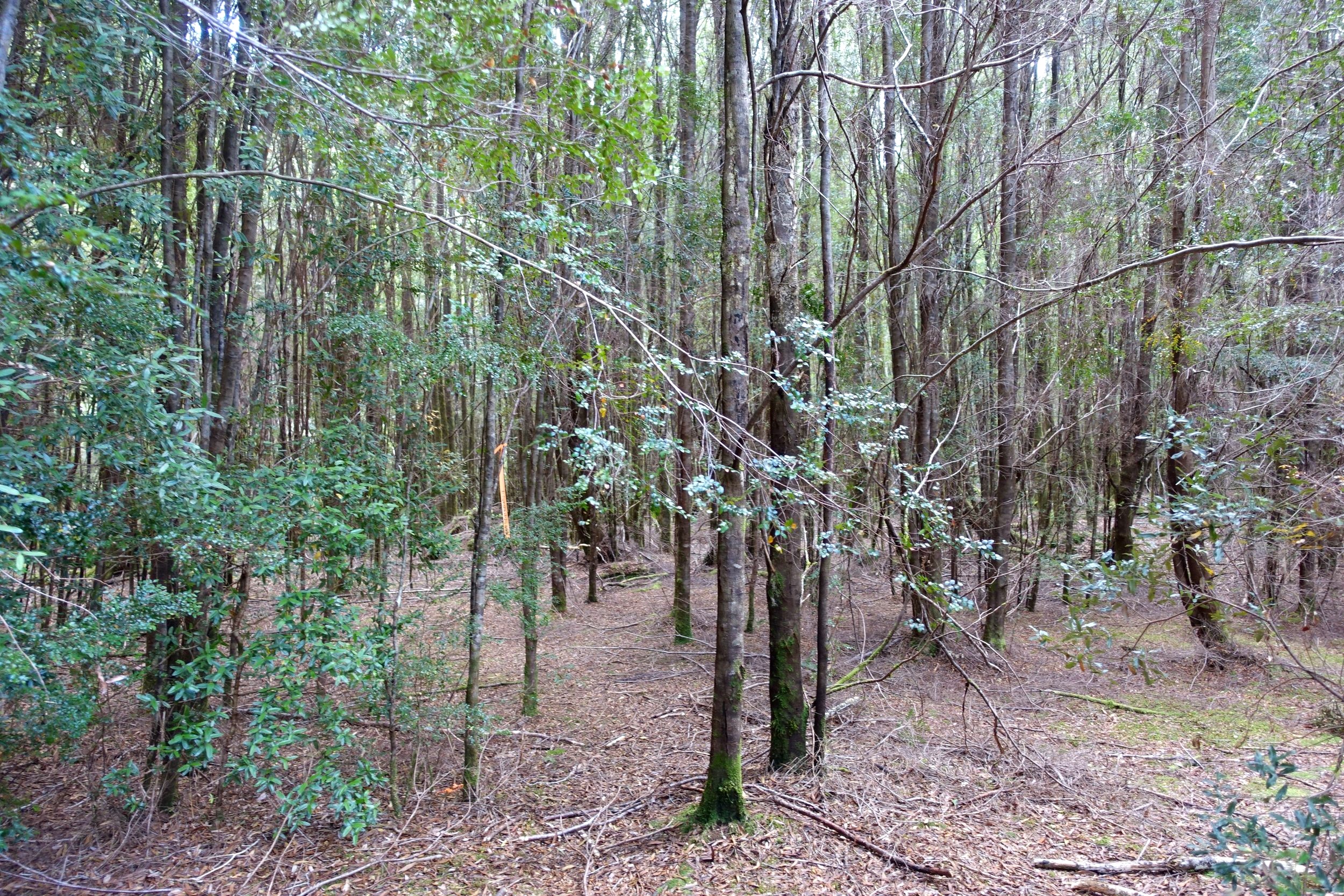
rainforest on the Huskisson river
With regular walking companion Graeme, we chose two walks in the southern part of the Tarkine – the Huskisson River Rainforest Walk and Mt Murchison, one of the west’s highest peaks.
on top of mount murchison
Note: The following walk descriptions provide basic information only. For maps and more detailed info please get hold of a copy of Tarkine Trails.
Huskisson River via Kazoos Track
This is a rainforest walk to the Huskisson River Valley in the John Lynch Forest Reserve. For details see page 176 of Tarkine Trails.
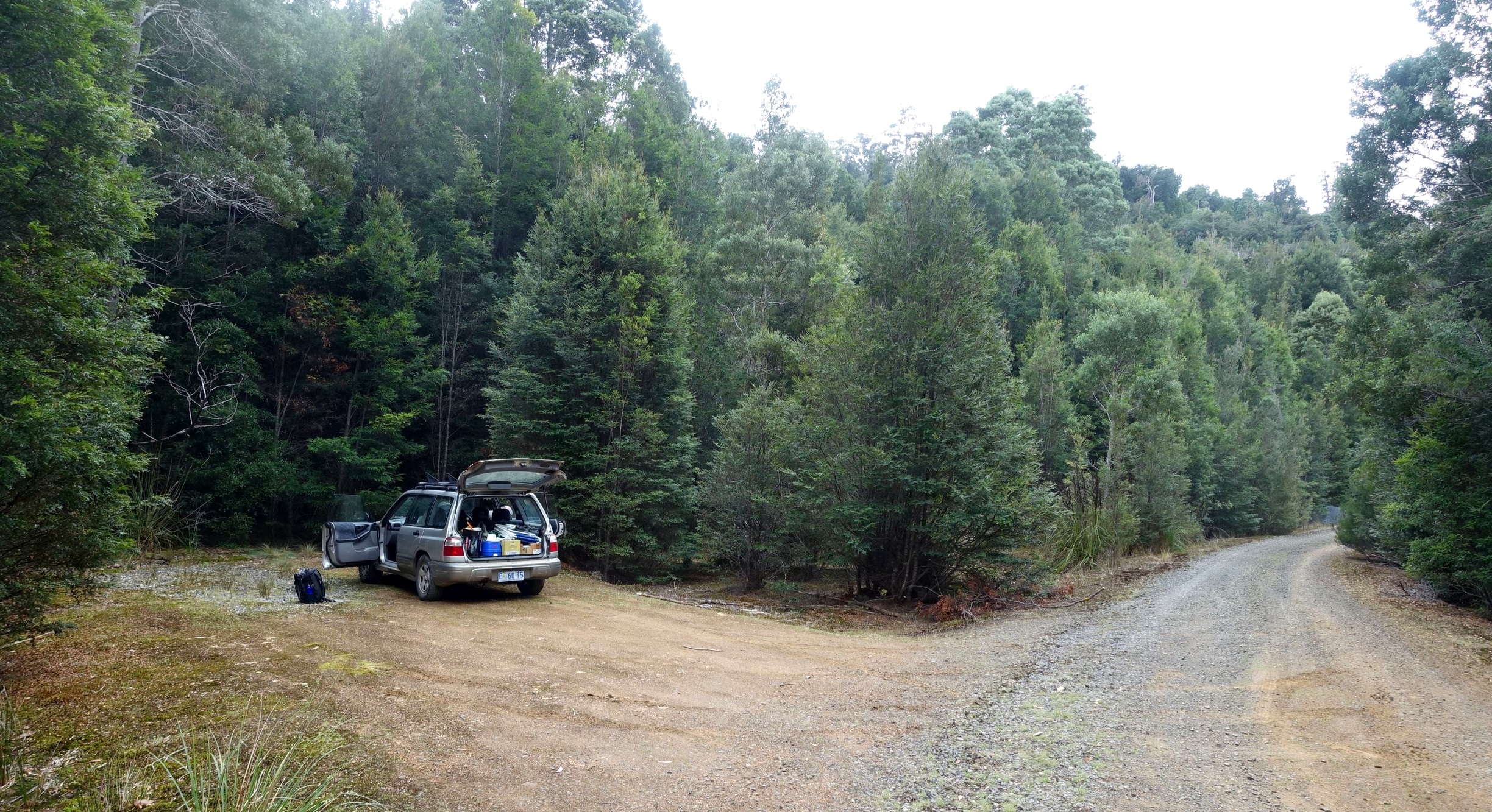
After camping overnight at Rosebery, we drove north to Tullah then continued on the Murchison Hwy (A10) for 10.1 kms north before turning left onto a dilapidated old sealed road for 600m then right onto a gravel road. We followed this for 15 km until we reached a car pullover as described in the guidebook.
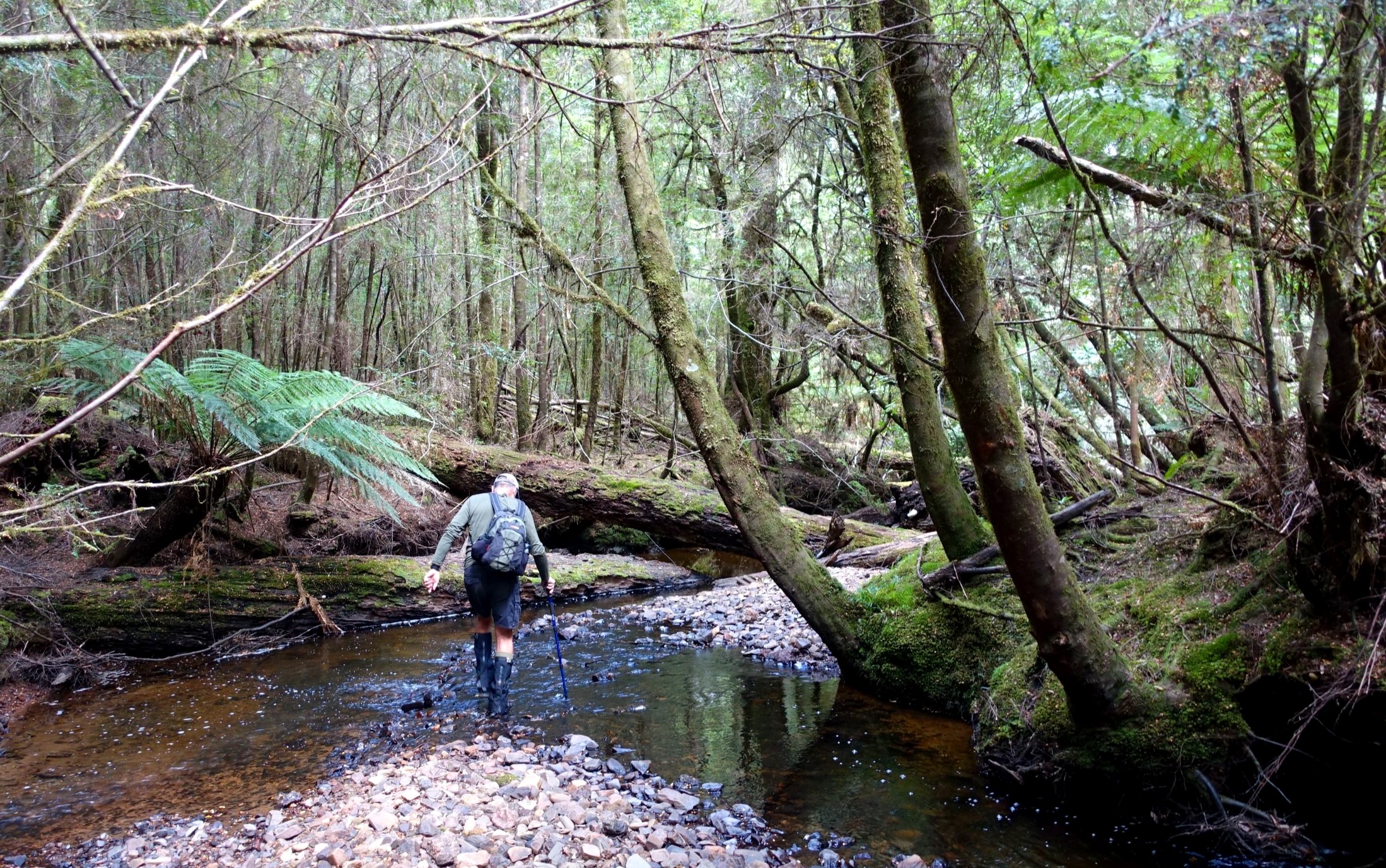
From the car park a faint foot pad led through the bush 50m to a creek.
Across the creek we found the start of a tagged trail and some easily spotted old track work.
A short distance on, our track converged with another coming from the opposite direction and the main track then headed perpendicular to our track up a steep hill through forest. It looked like it had once been a four wheel drive track.
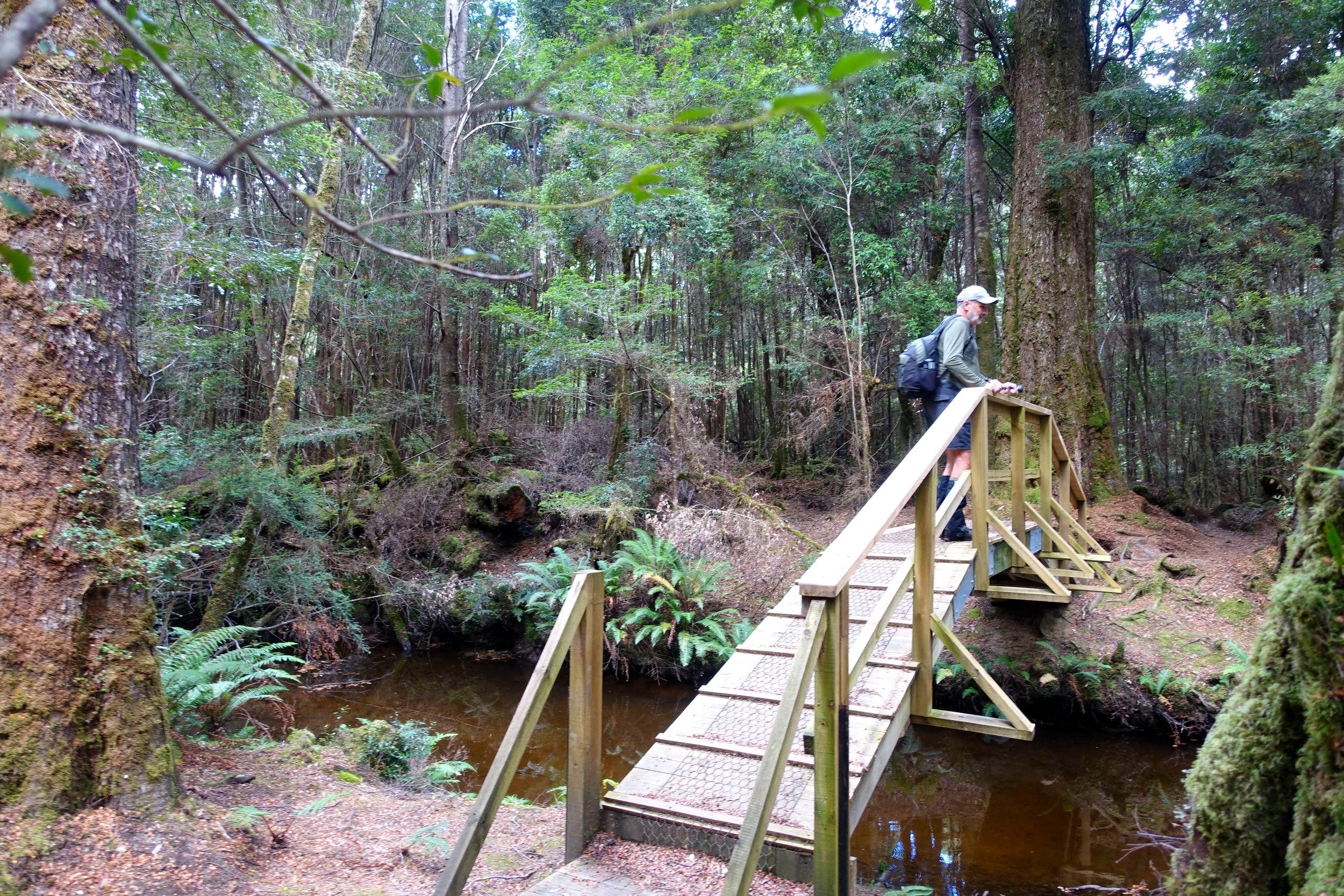
Before starting up the hill we walked a short distance down the track we had converged with and came to a newly constructed foot bridge which spanned the same creek we’d crossed a few hundred metres back. It looked to us like it had been recently built to bring in walkers from another car pullover which we had noticed on the gravel access road a kilometre or so prior to where we had parked.
We returned to the main trail and slowly trudged up the hill through the forest.
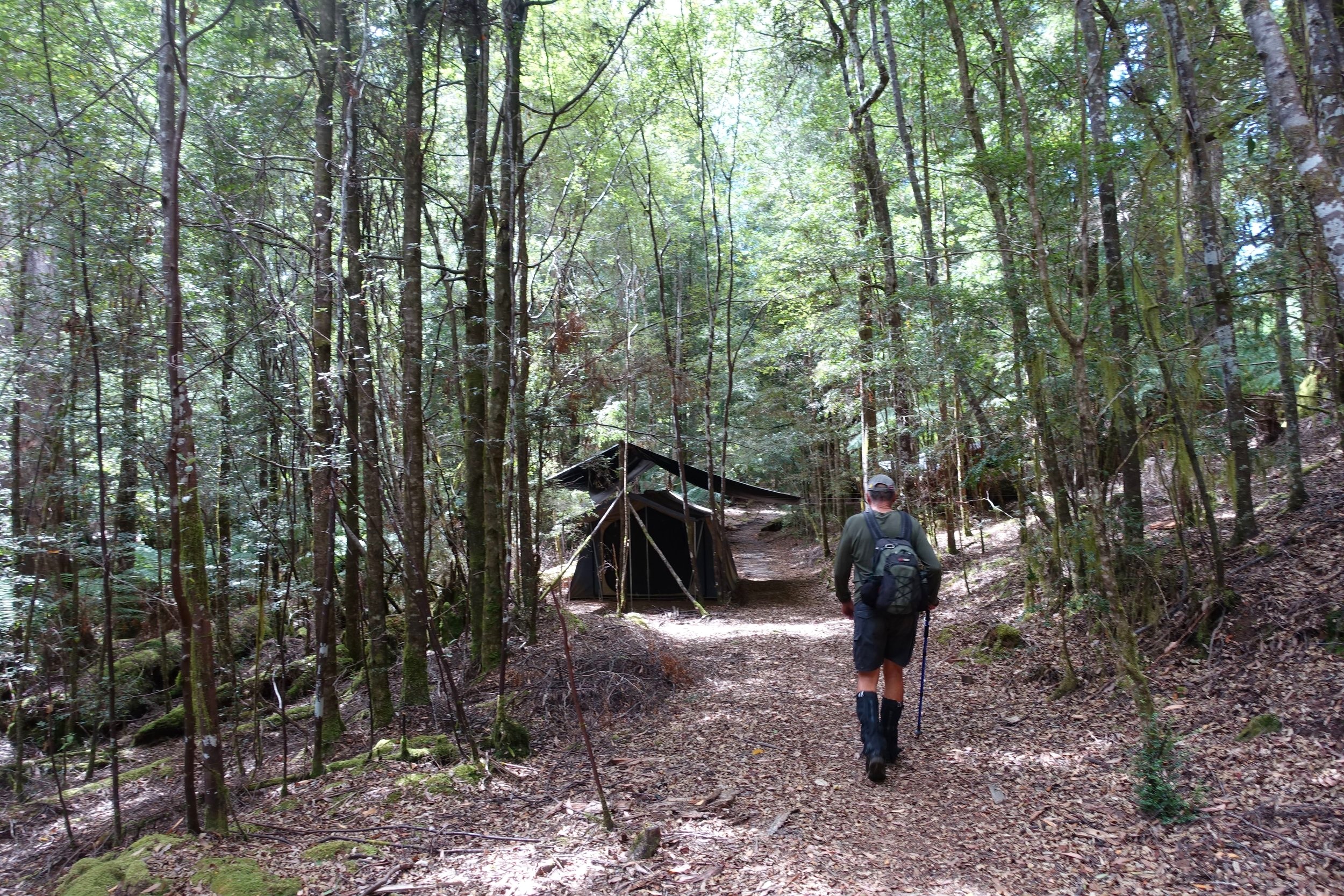
After twenty minutes we came to a standing camp used by a wilderness tour company. It had numerous multi-person tents, a kitchen/communal space and toilets. But no one was around on this day.
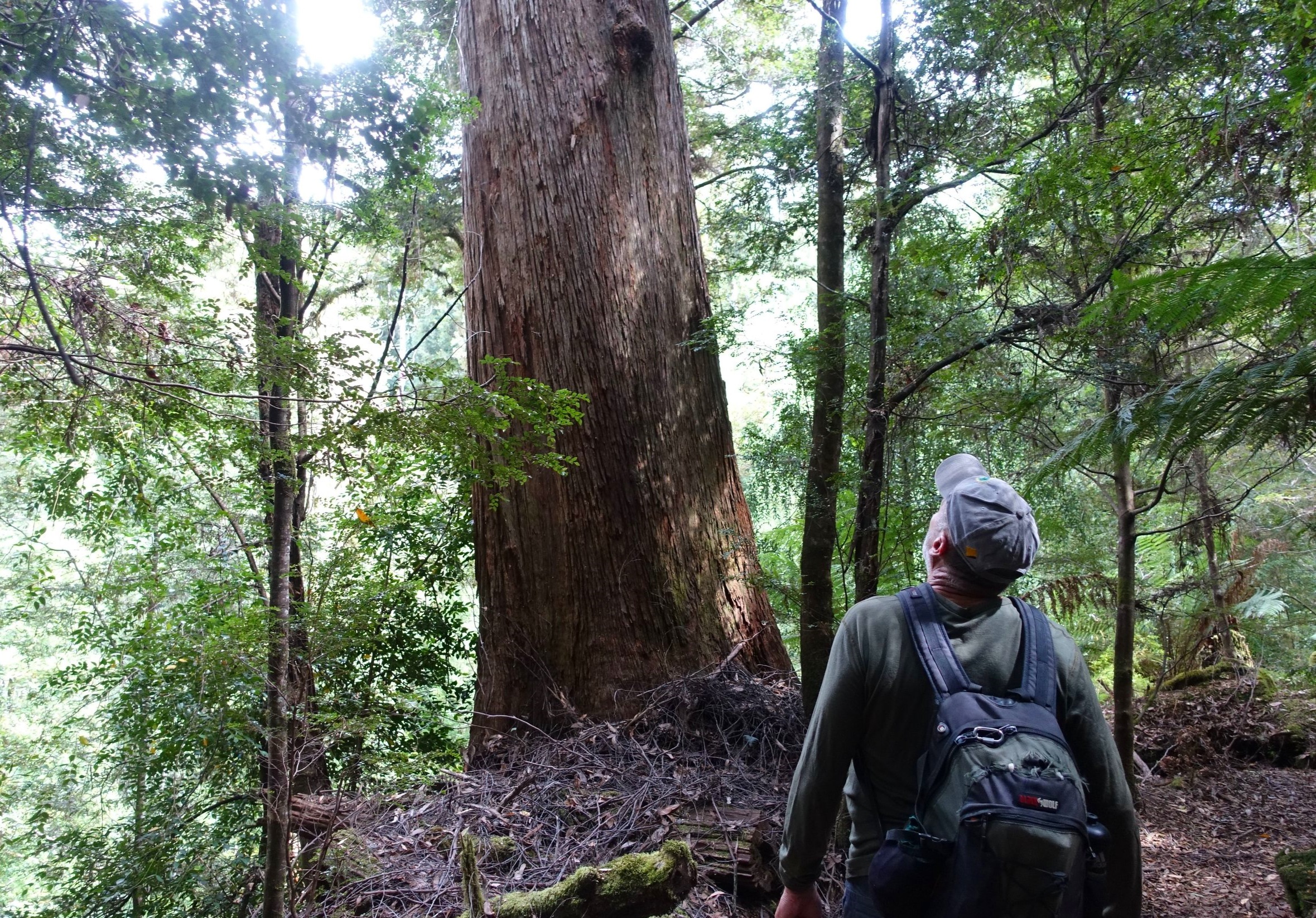
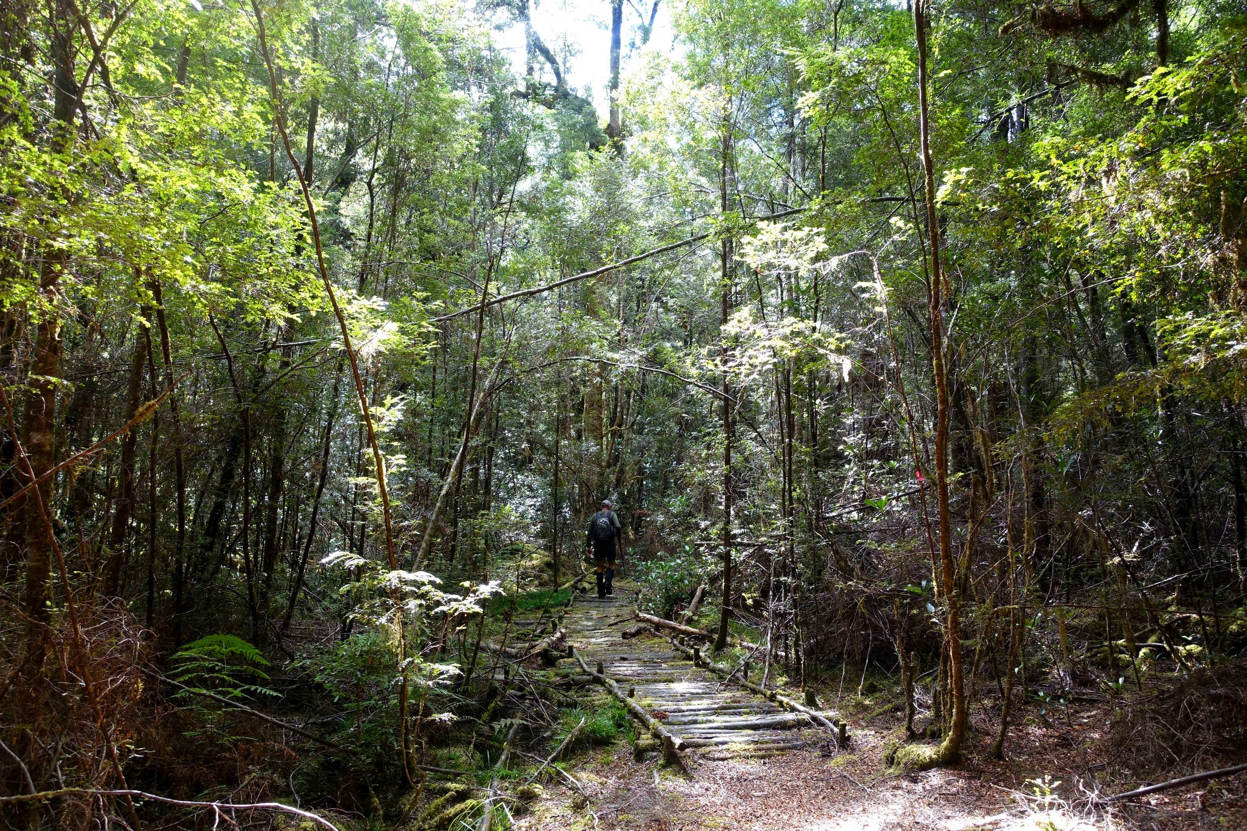
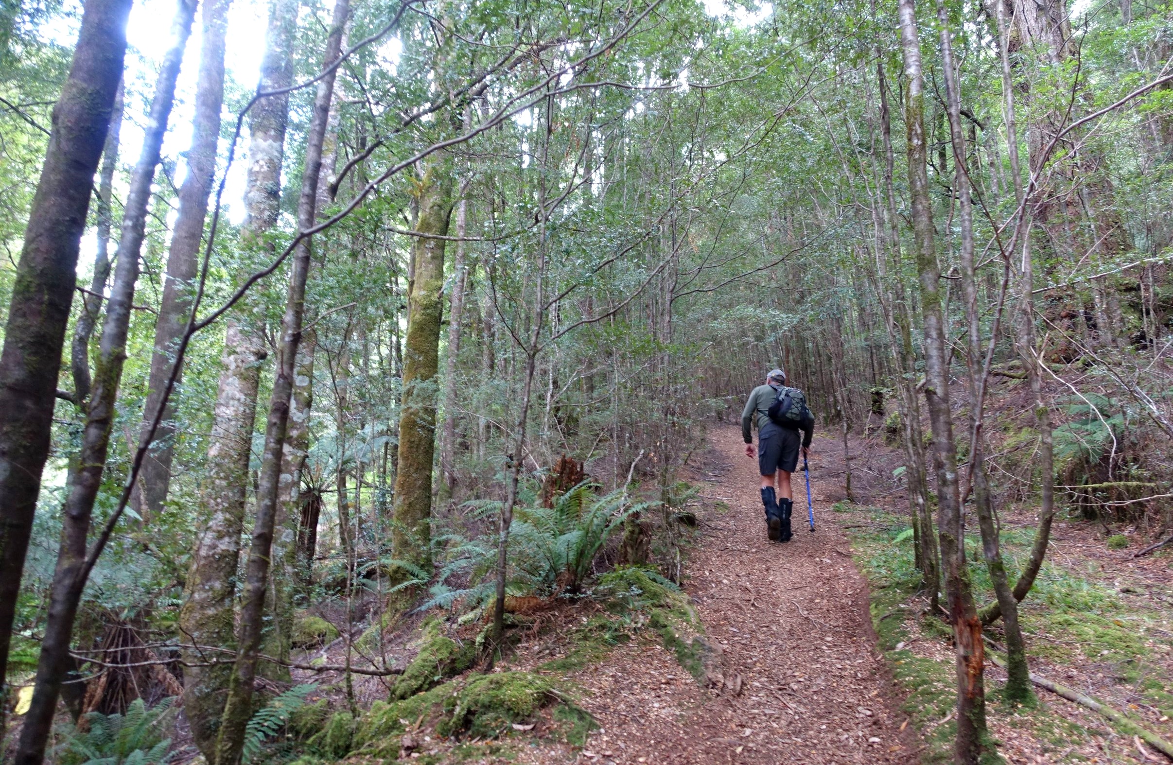
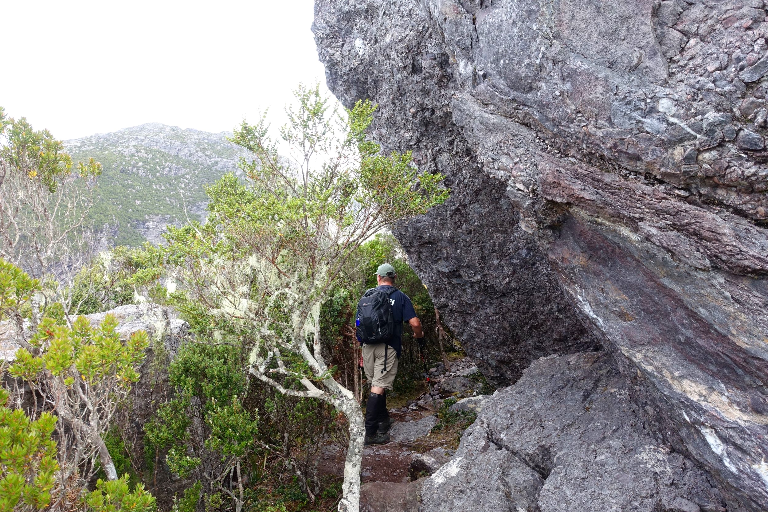
From the camp a pink tagged trail led off to the left. This was the Kazoos Track which we were aiming for.
the kazoos track starts to the left of the big tree
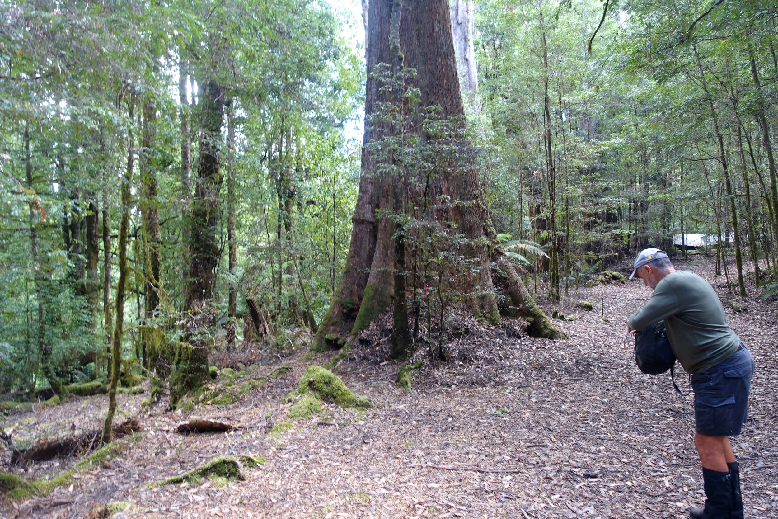
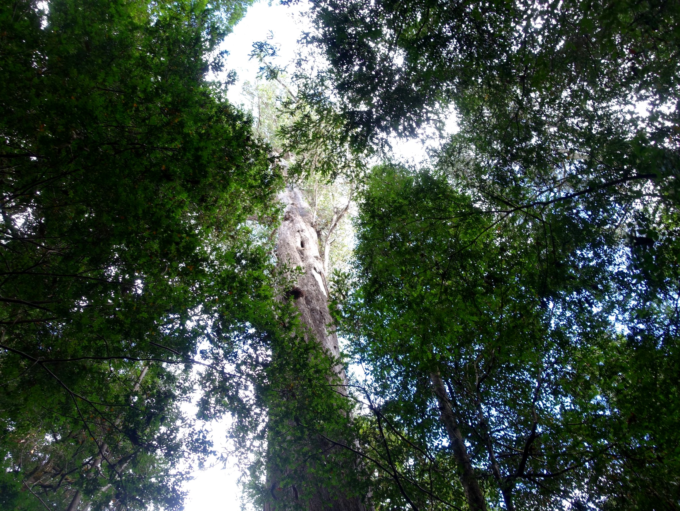
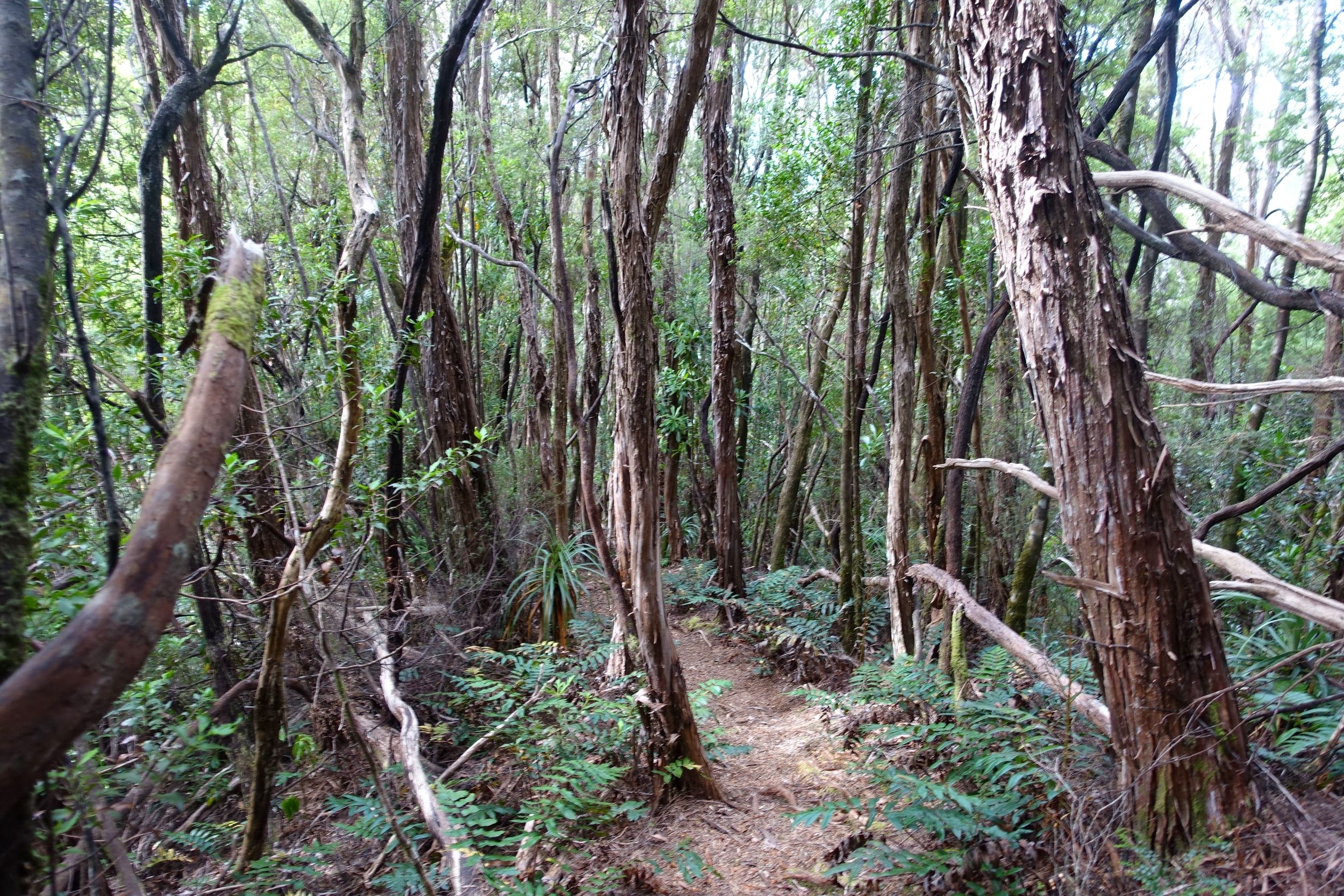
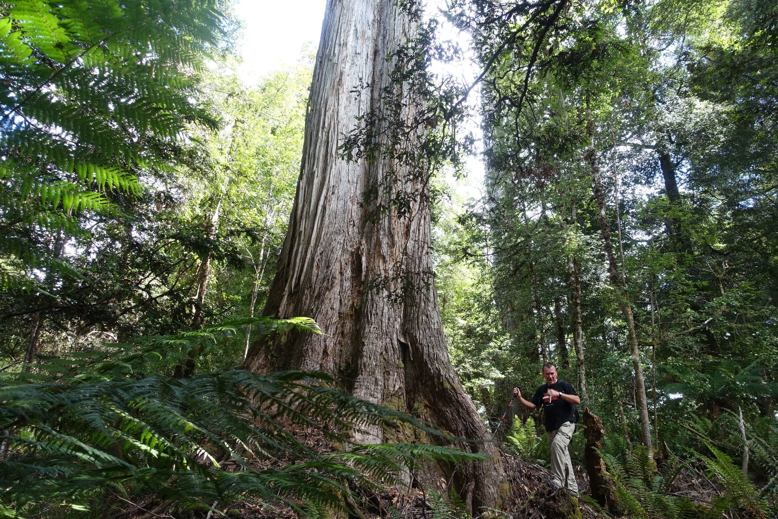
The myrtle forest was thick and healthy.
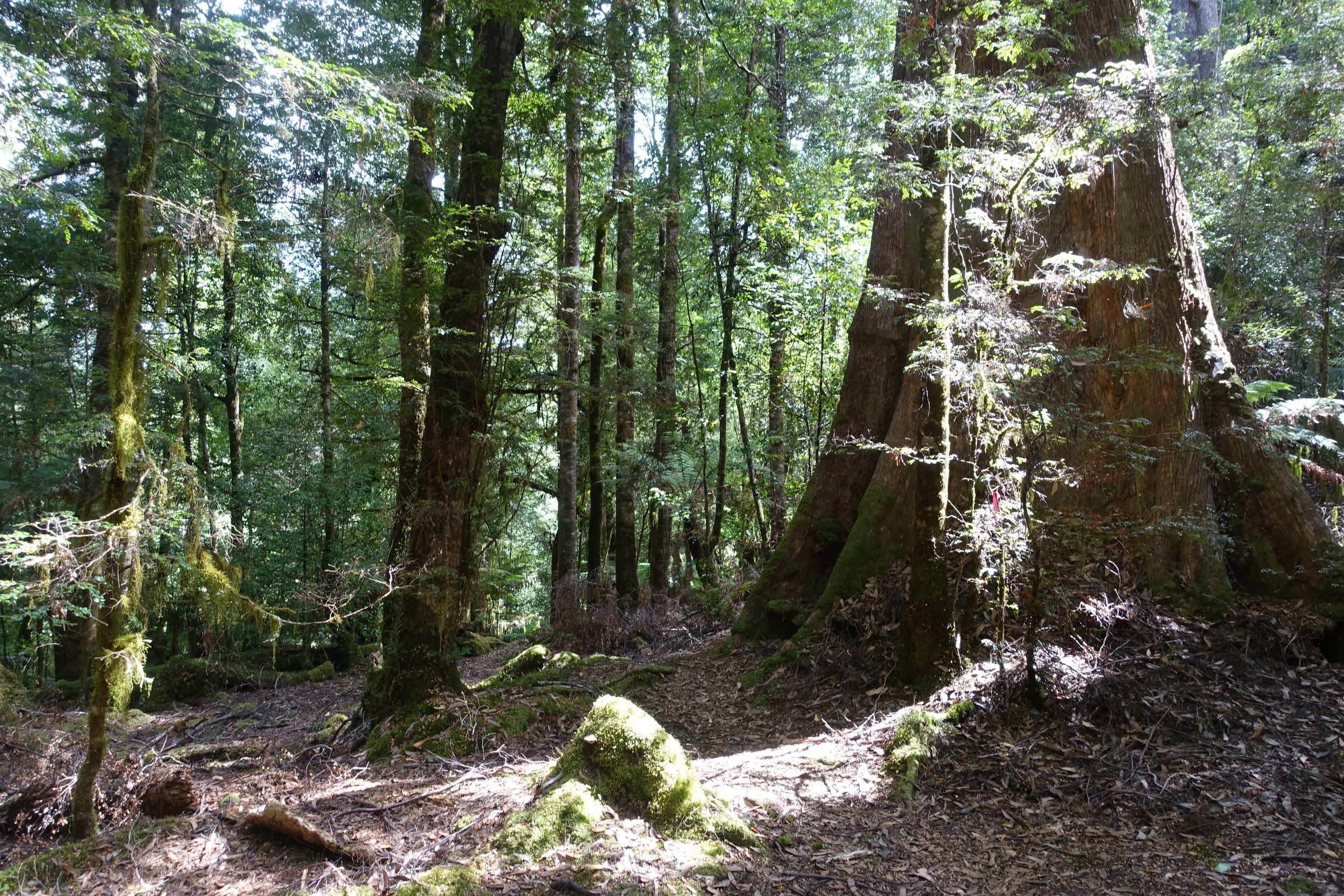
Some massive gums towered above the canopy in places.
The track weaved about and involved a number of hill climbs and descents into gullies followed by the next hill.
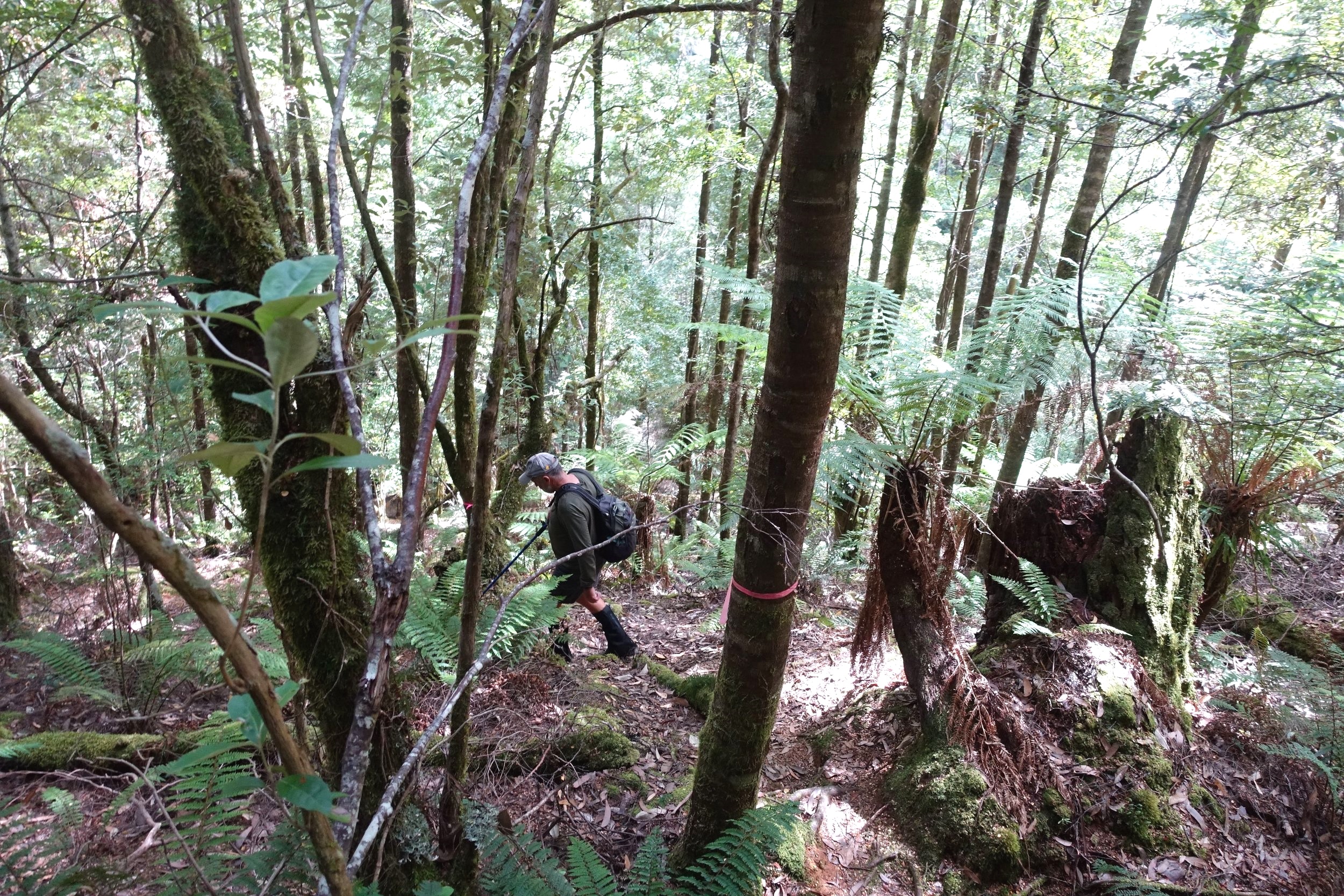
It was a solid work out and we got up a reasonable sweat.
After about an hour’s walking we arrived at the Huskisson River. Being late summer it was calm and benign, but we could imagine it could be very different in spring time with a lot more water in it.
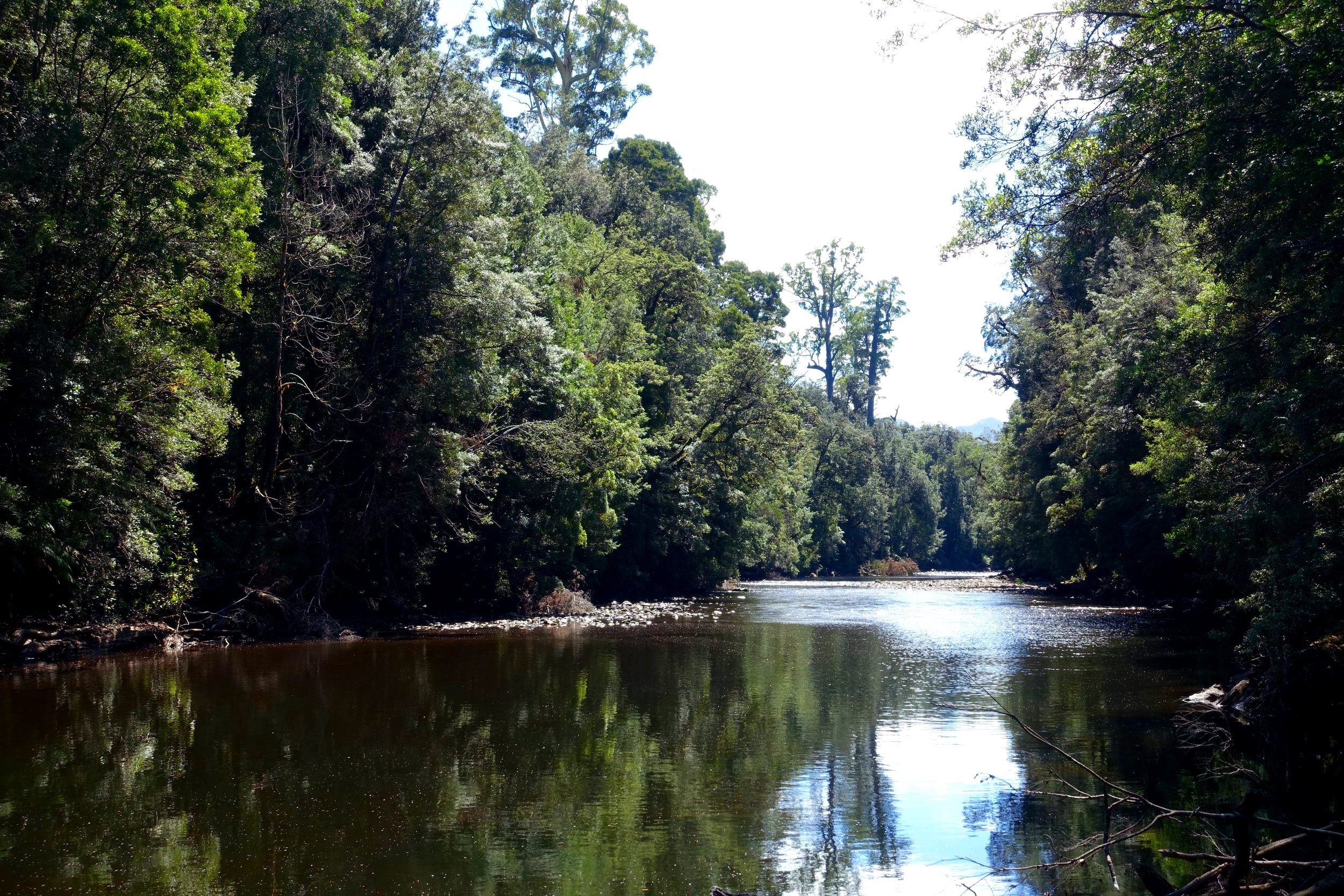
The sun was out, and we took a well earned break by the river.
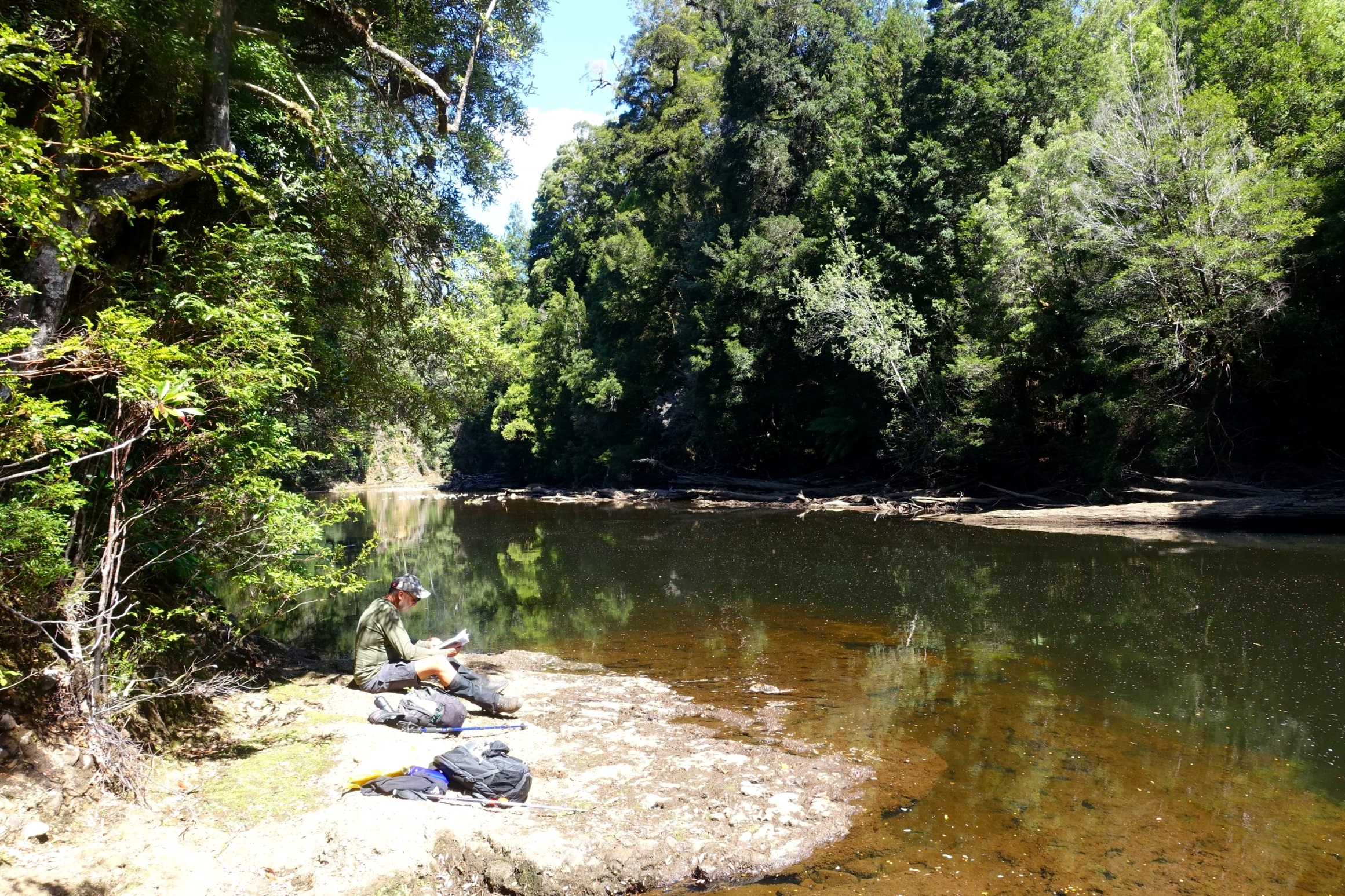
We then continued to follow the trail which followed the river to our left. We went as far as a large bend in the river before deciding to turn around and head back.

we followed the track beside the river for a short distance

we got as far as this part of the river then decided to head back
The return route was via the way in.

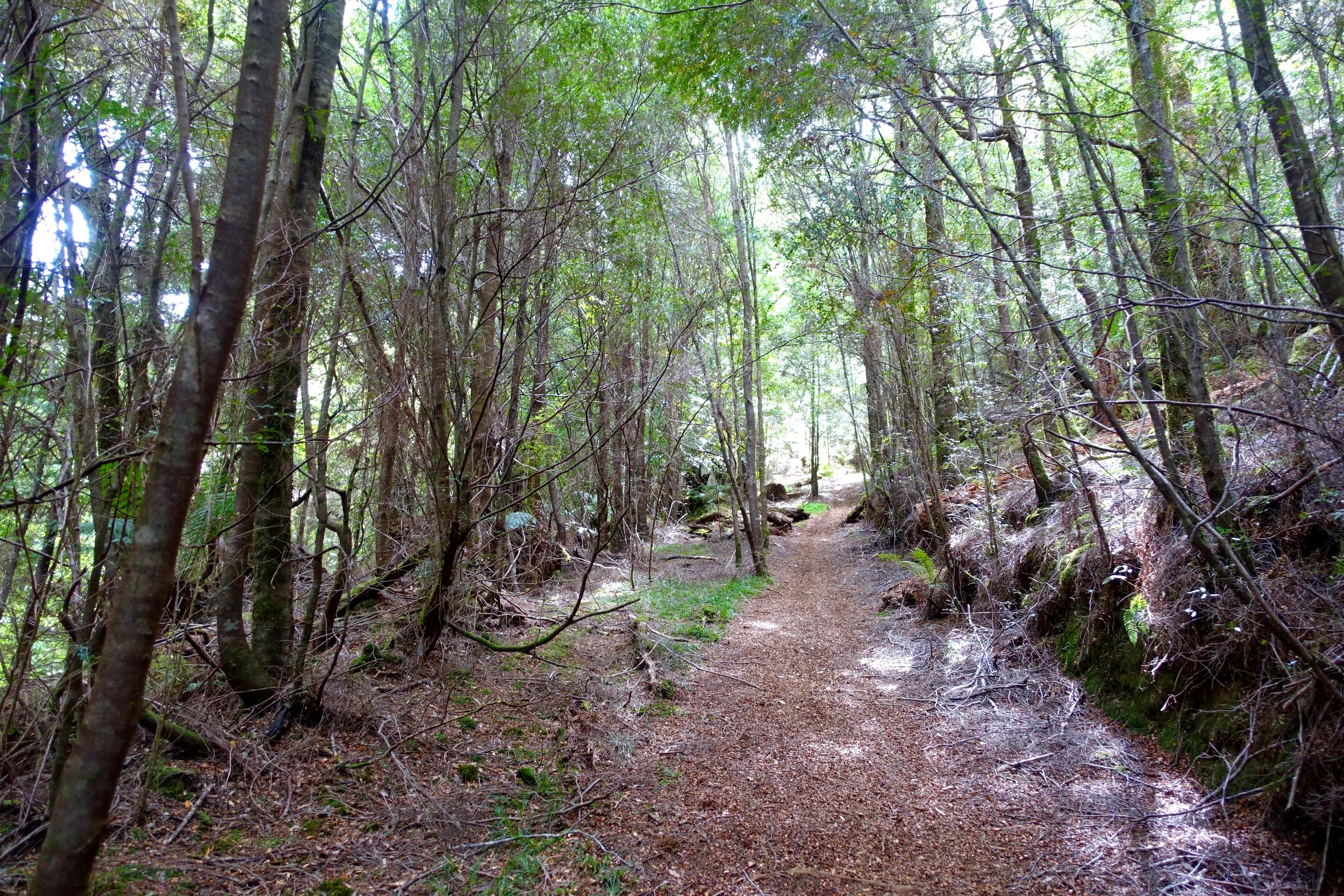
the track is clearly marked with lots of pink tape
Including breaks the total walk had taken us around 4 hours.
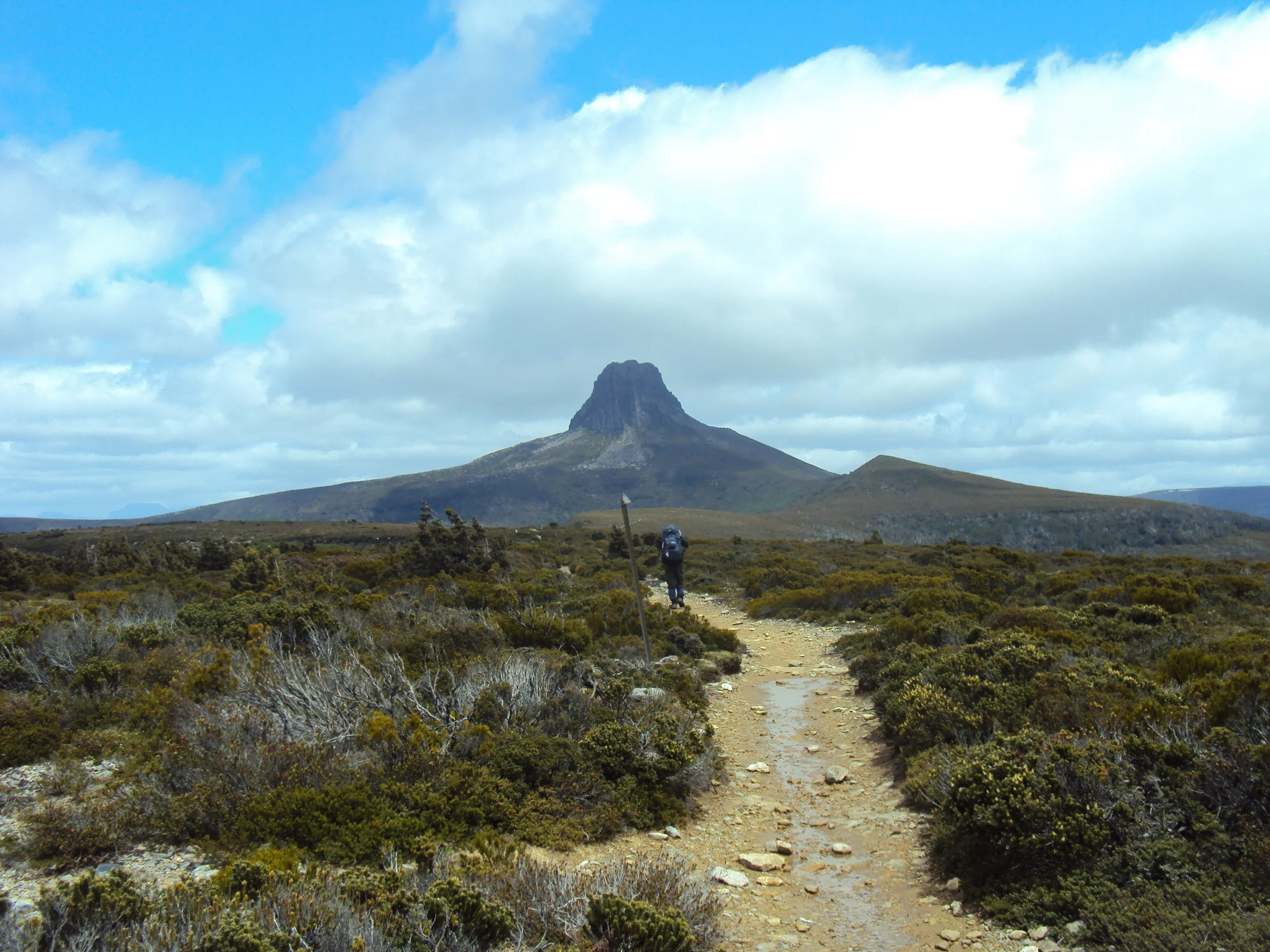
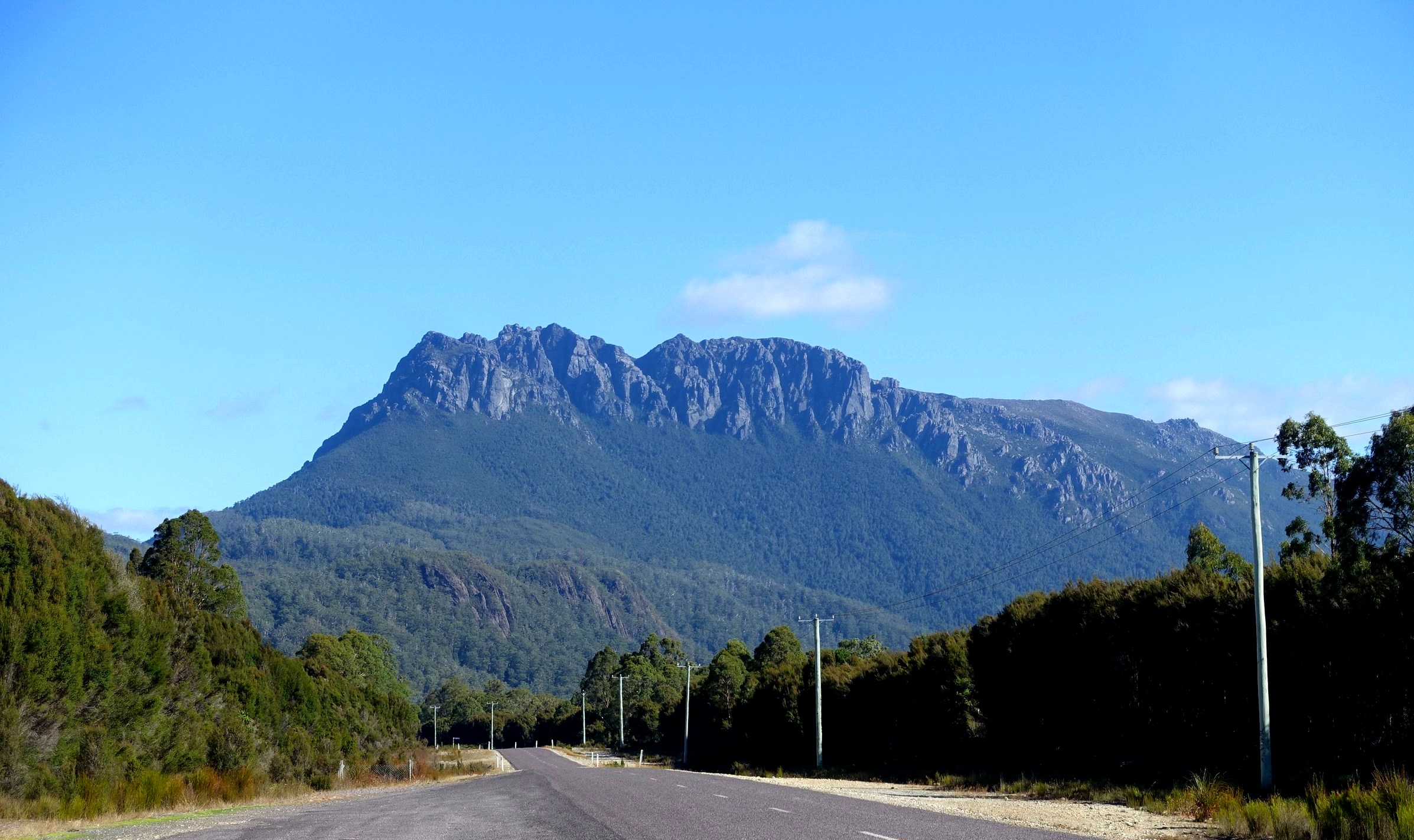
Mt Murchison
This walk takes you to the top of one of western Tasmania’s most imposing mountains, 1278m high Mt Murchison.
mt murchison
The views as you approach the summit are epic, with the full expanse of the peaks of the Overland Track on display to the east.

cradle mountain and barn bluff are to the left on this shot
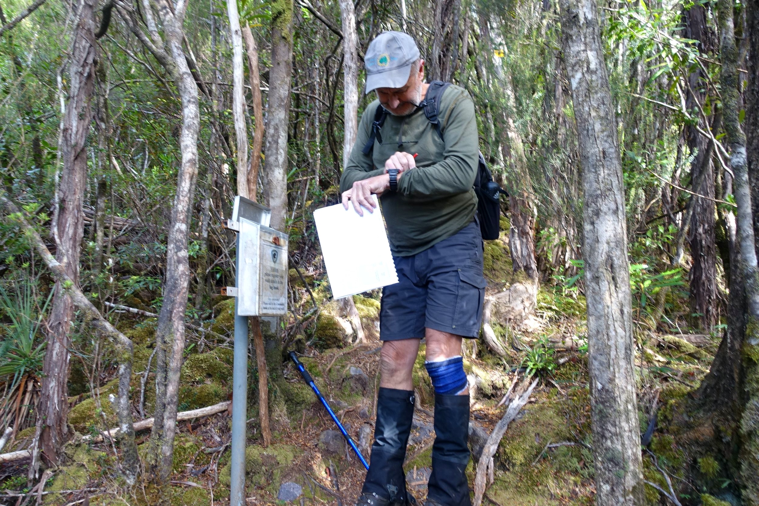
The start of the walk is clearly signposted. To get to the beginning, drive 8.9kms down the A28 (Anthony Road), from where it intersects with the Murchison Highway, just south of Tullah.

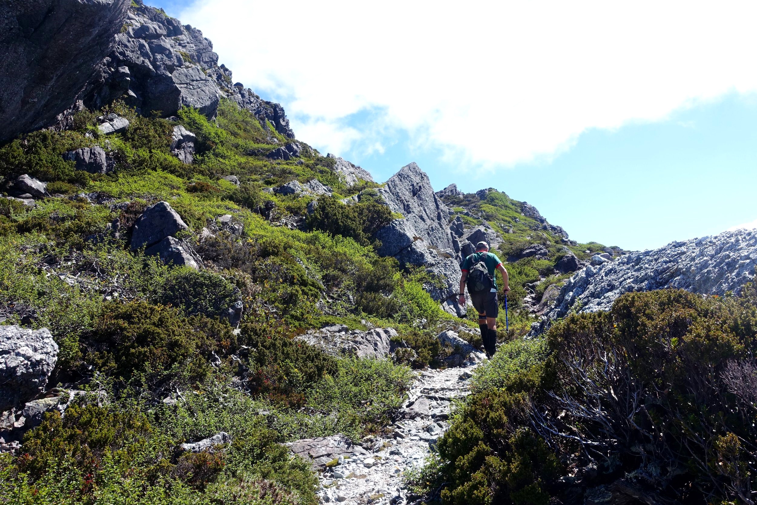
After completing the log book, we ascended through dense forest up a ridge for half an hour.
The track then left the forest into more open alpine terrain, continuing to follow the ridgeline.
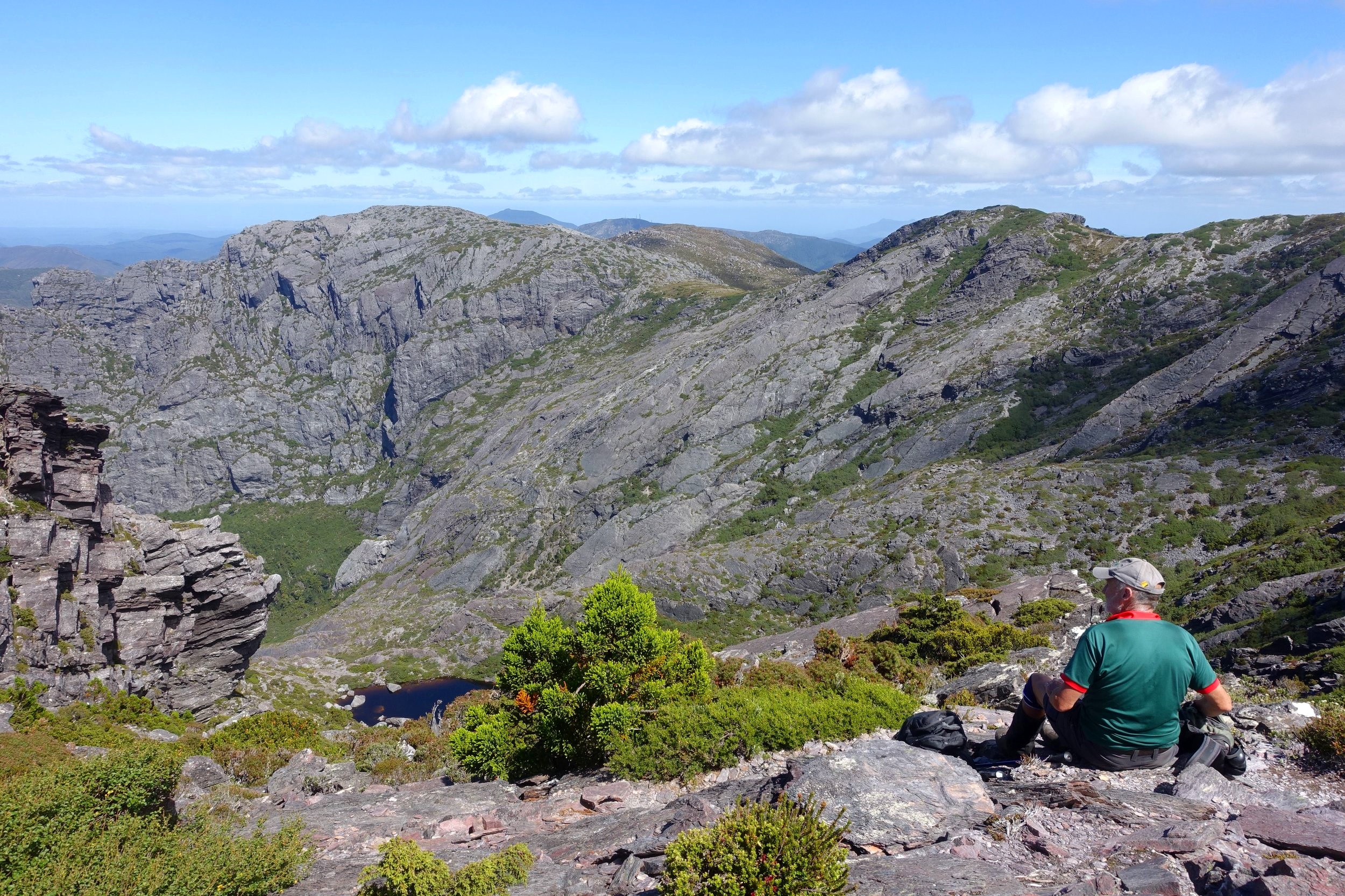
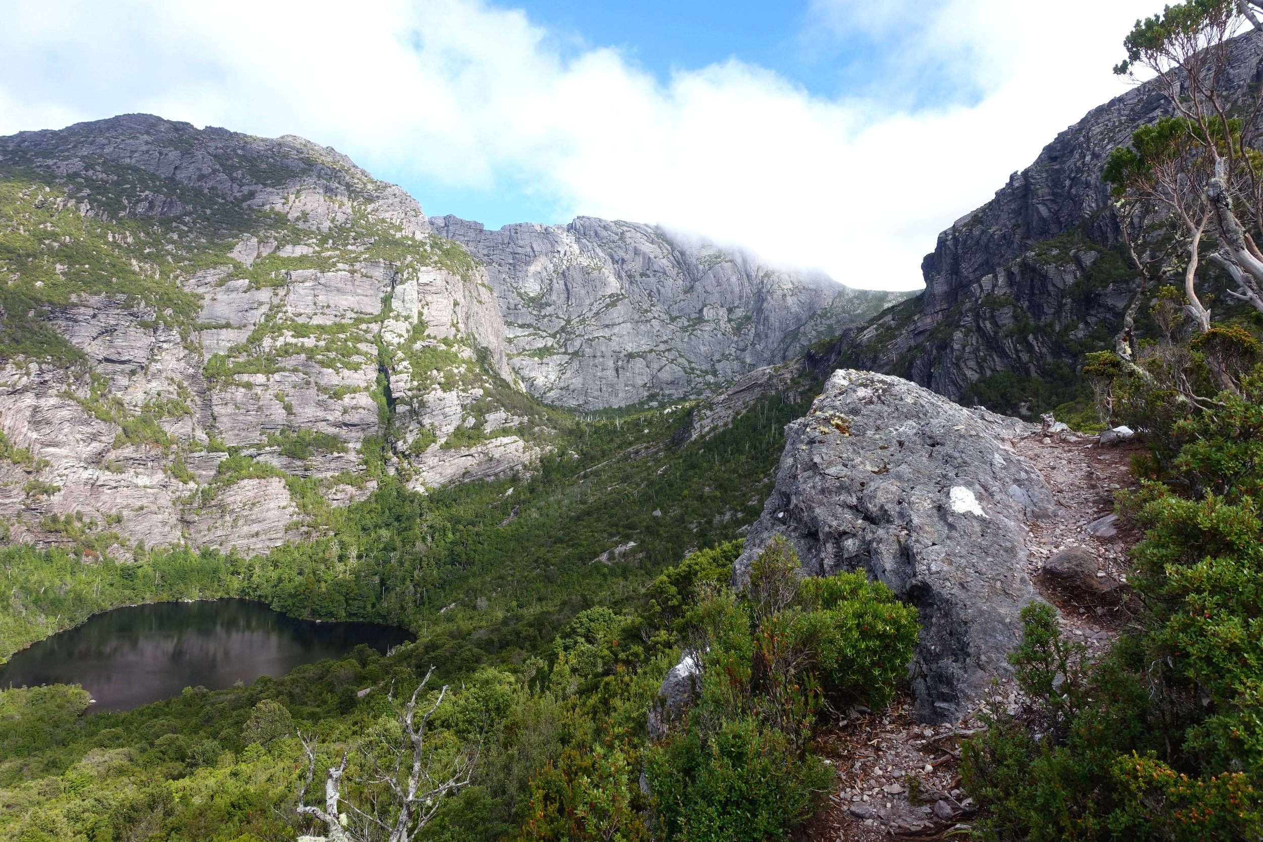
To our left and below in the valley lay a tannin coloured tarn, Shaded Lake.
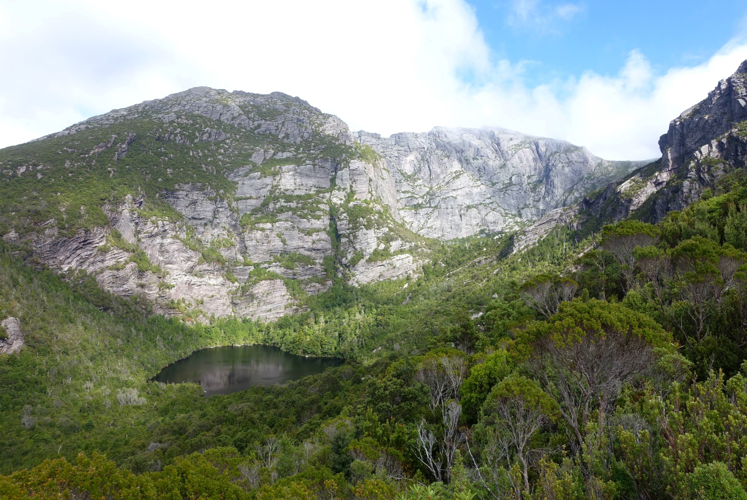
Its backdrop was a huge rock amphitheatre, all part of Mt Murchison. It was an impressive and rather grandiose sight.

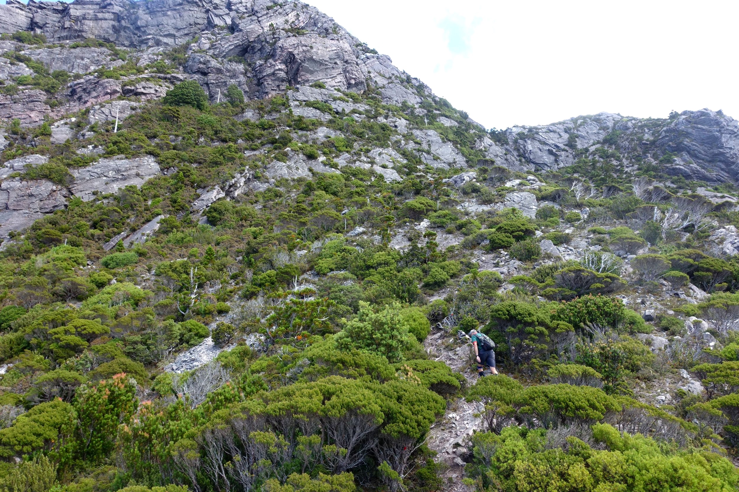
We continued on for another half an hour before we started a slow climb towards the summit.
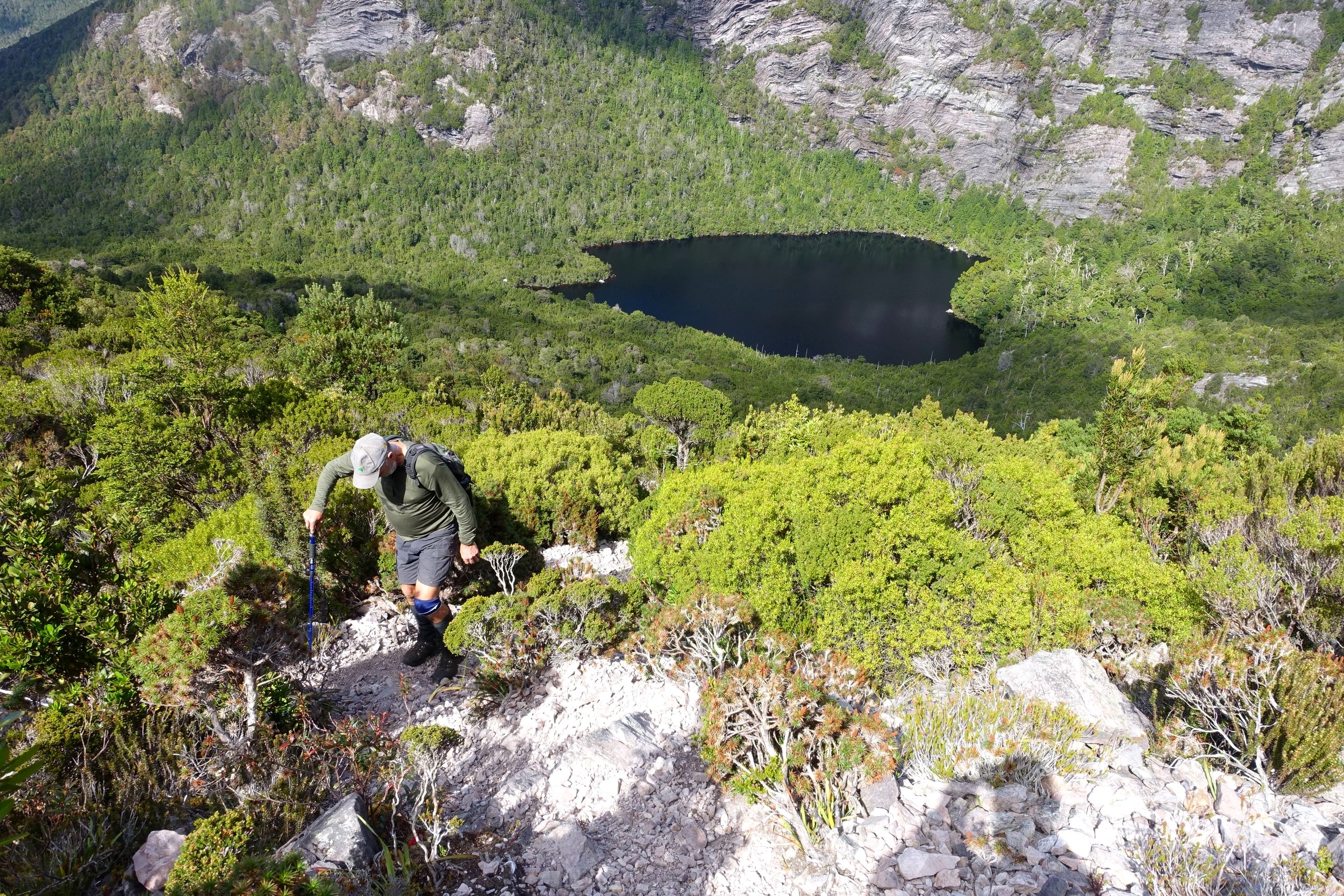
There was a bit of tricky rock scrambling in one section followed by some less arduous but still quite steep sections going up a gully as we made our way up the mountain.
that’s the road we drove in on to the right of the shot behind graeme


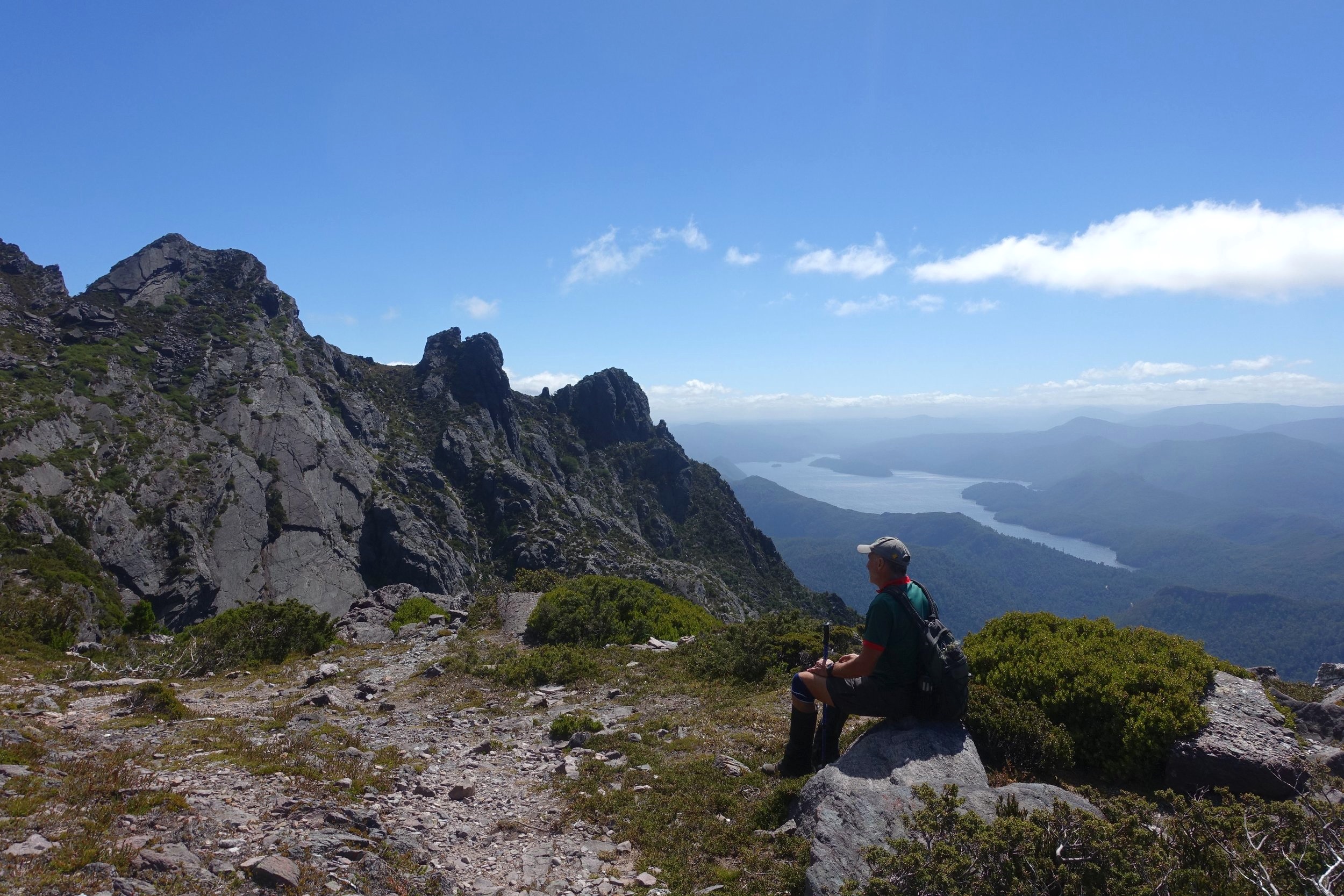
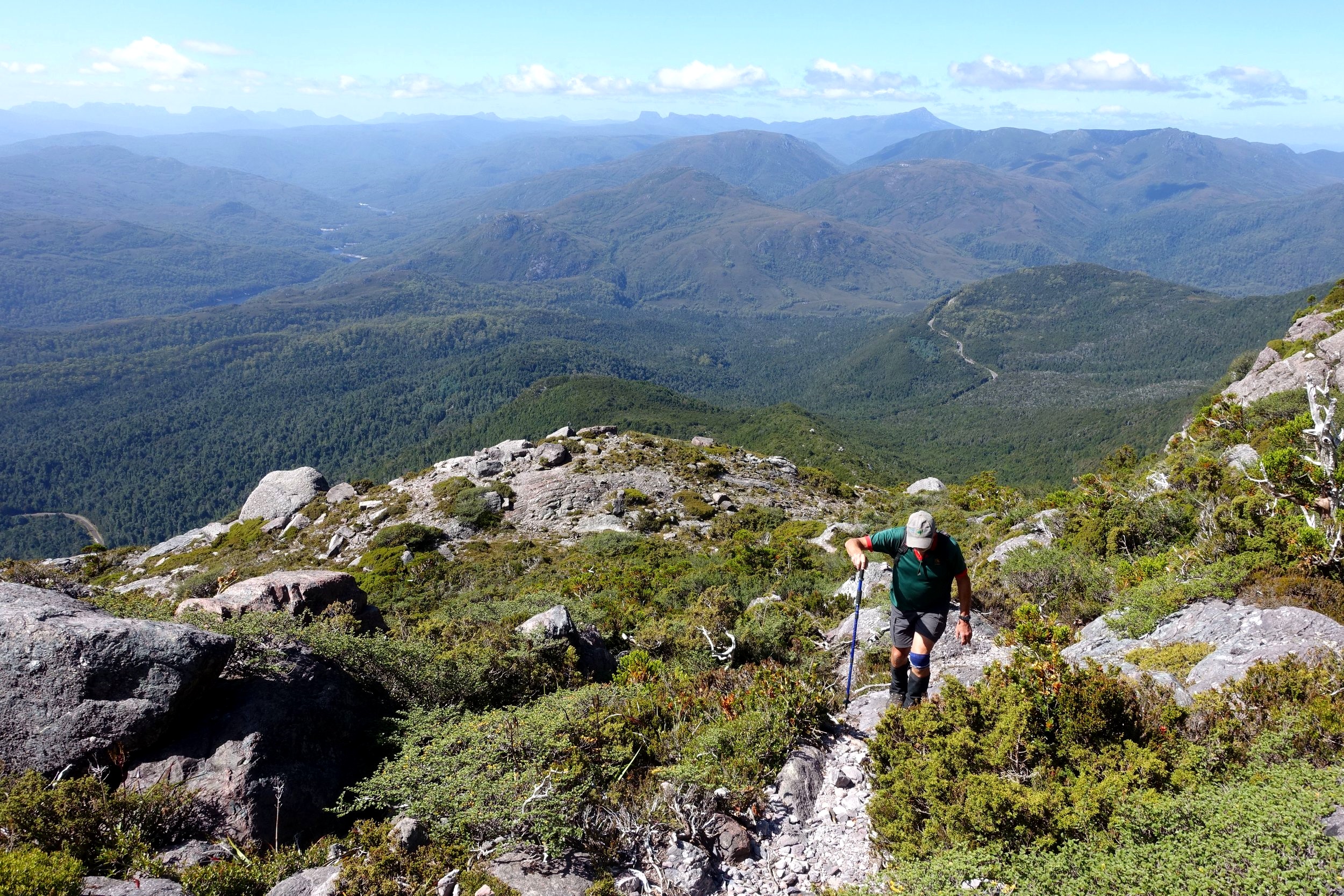
Eventually the land flattened out and we were rewarded with expansive views.
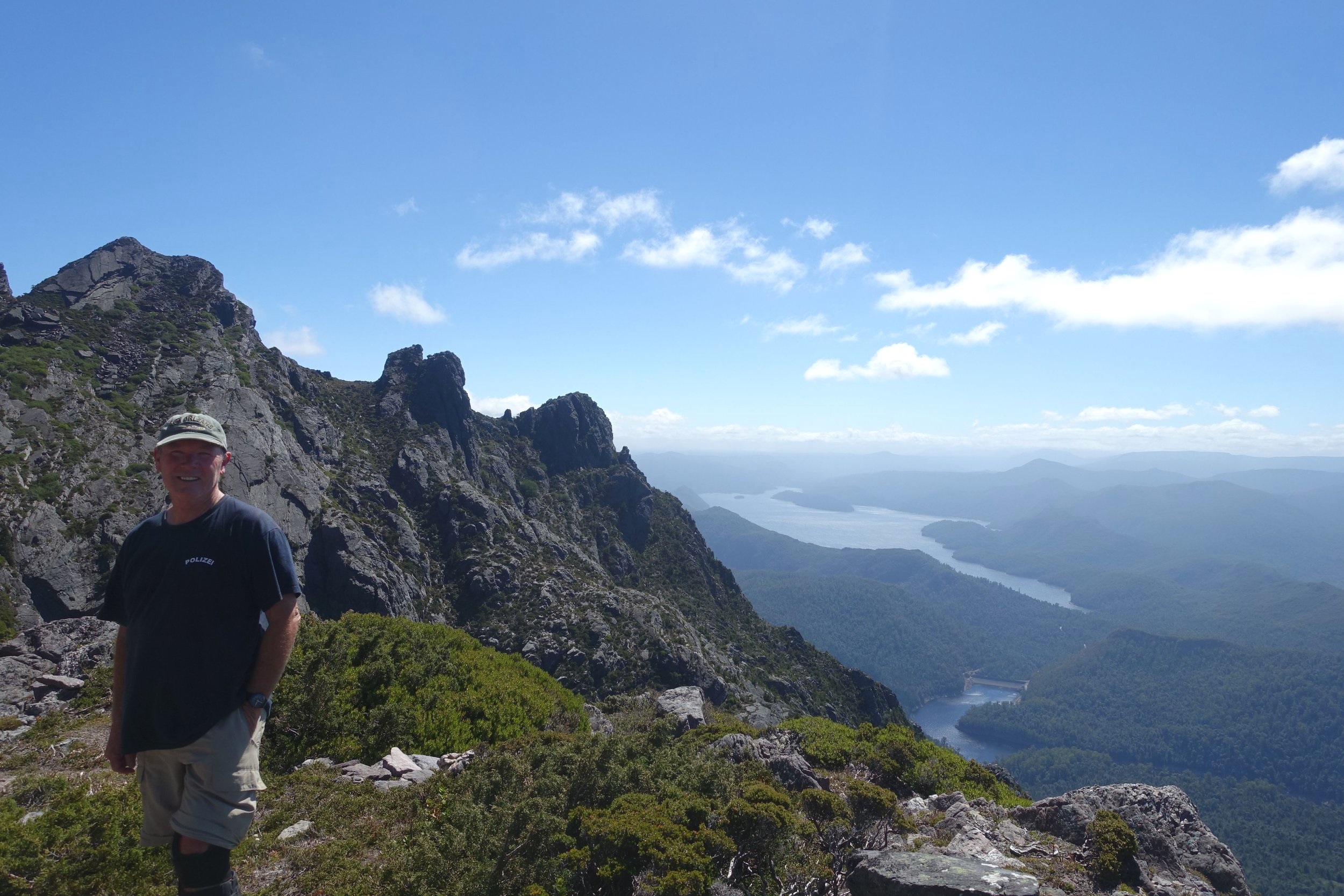
To the east we could clearly discern the peaks along the Overland Track. To our south we could make out Frenchman’s Cap and to our west Mt Reed and beyond to the coast.
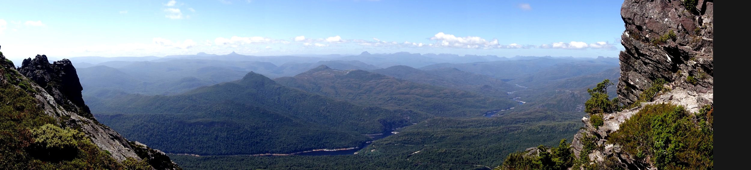
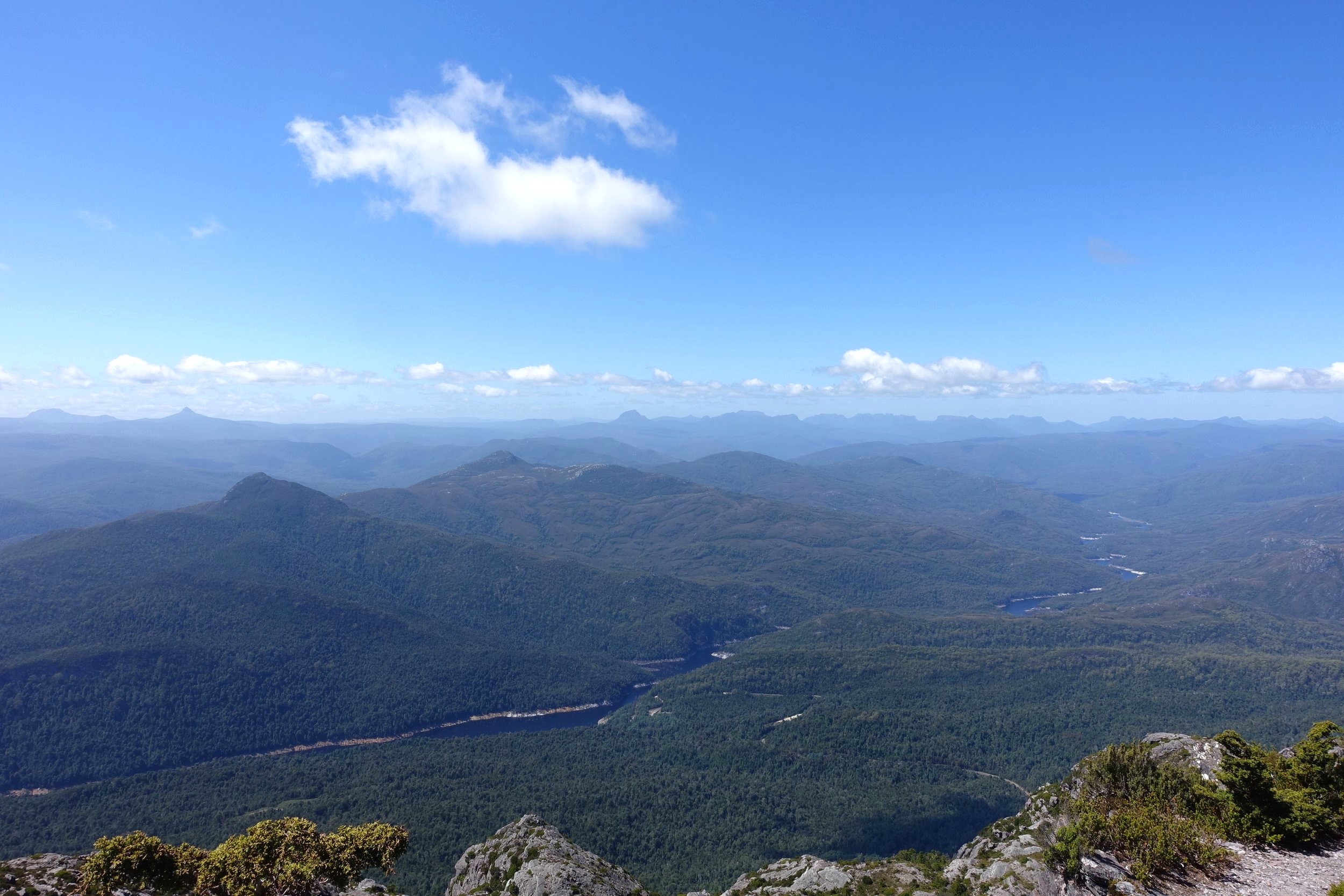
In the rock shelf below we could see another small tarn and below that, in the distance we could see Murchison Dam as well as Lake Macintosh.

To our right the Murchison River snaked westward.
the Murchison river
We were blessed with excellent late summer weather: warm but not baking hot. It was a fairly strenuous walk to the top, taking two and a half hours, but well worth it.
We have to confess that we didn’t make the last few hundred metres to the trig point as this was awkwardly stuck at the top of a 45 degree angled rock face ending in a precipitous drop. It looked like a giant slippery dip. We decided to leave this to younger daredevil walkers.

the trig point perched on top of an awkward to reach summit
After lunch and recuperation, satisfied with our lot, we made our way back down the mountain via the same route.
The walking time taken for the return trip was pretty close to the predicted 5 hours on the sign at the base of the walk. Allow a little more time for breaks.
The walk is reasonably well marked by tape and cairns. However, even ‘though we had clear weather, we had a couple of spots where we lost the track and had to return to the previous marker to pick up the correct route. You need to pay attention.
All in all a spectacular walk.

For more details see Tarkine Trails page 190.
Conclusion
We’d been curious for some time about the region known as the Tarkine. Cally and I had visited the region a couple of times over the years, including completing the Mt Farrell/Lake Herbert Walk (page 172 in Tarkine Trails). Click here to read our post on it. But we had remained a little unclear as to exactly where the Tarkine was.
The excellent Tarkine Trails book gives a comprehensive overview of the NW region of Tasmania and the different Tarkine/takayna sub-regions (click here for more information on the book). Highly recommended.
on the kazoos track
We just scratched a small part of the surface with our two walks, but we now know much more about what else there is to see and experience in the Tarkine. Our hope is that efforts to protect the region’s wonderful wild places succeed. We’ll certainly be back.
Ken


