
The Needles - One of Tasmania's Most Spectacular Short Wilderness Walks
/
Important Note
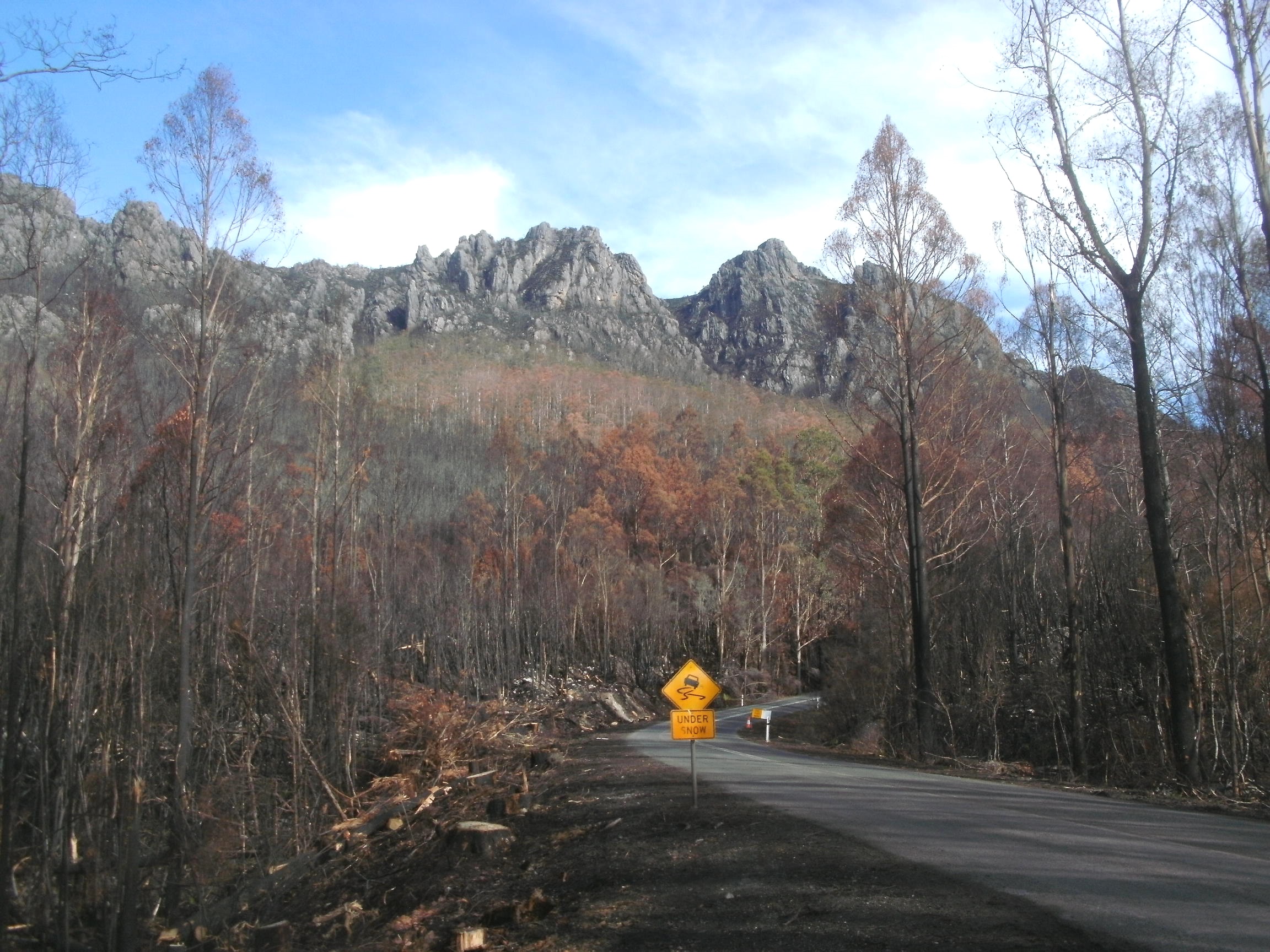
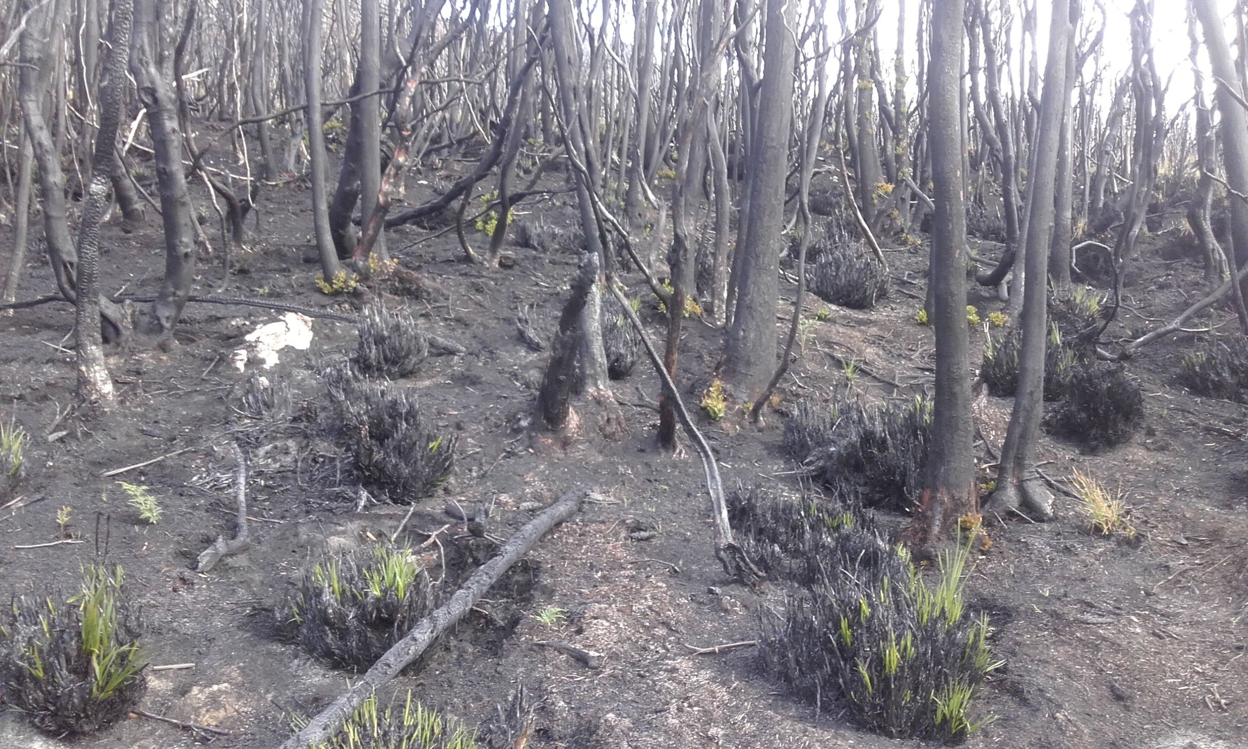
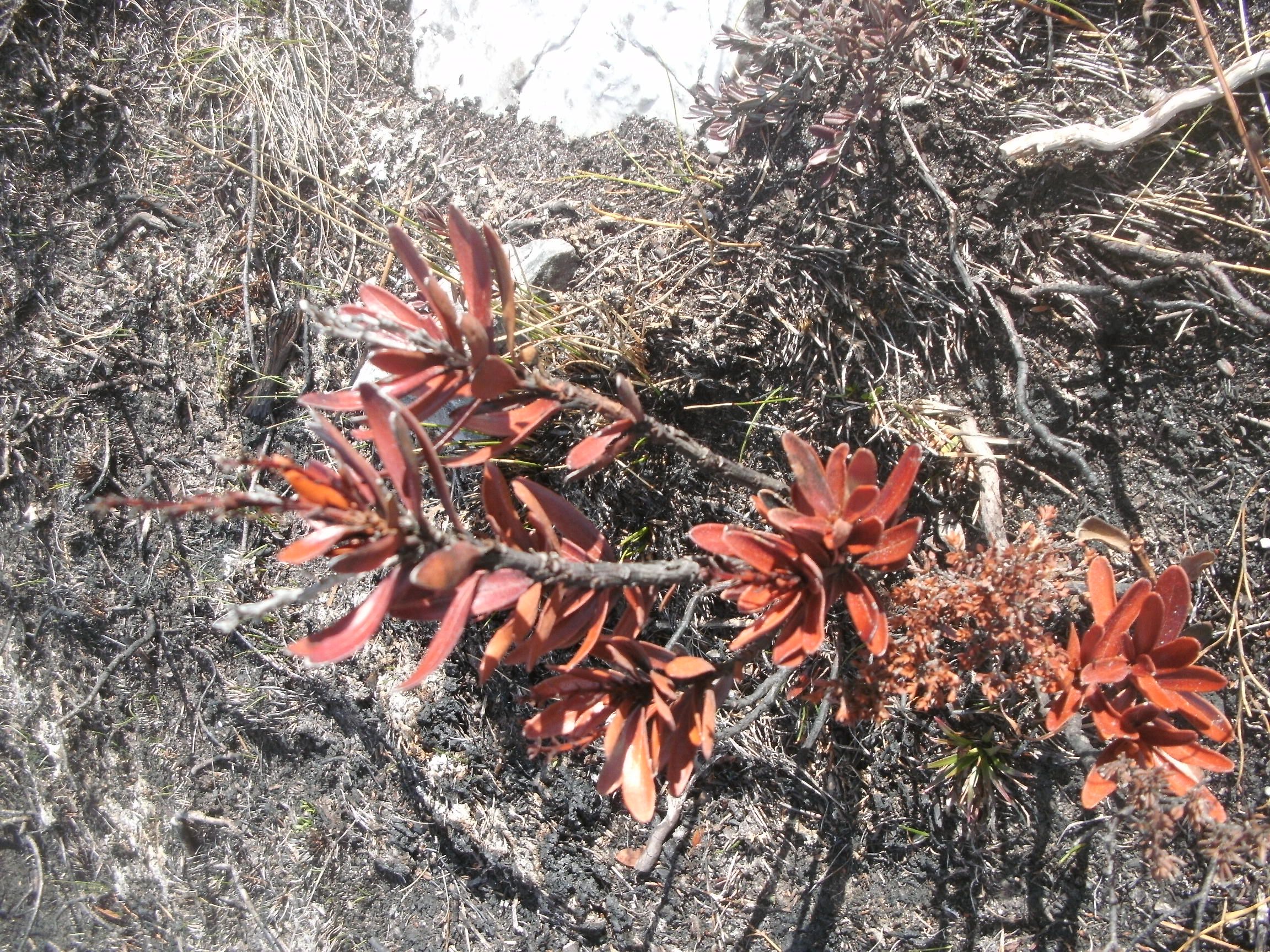
We did the Needles walk in late 2018, just prior to devastating bushfires sweeping through the South West of Tasmania, along with a number of other regions of the state. The Needles Walk was badly affected. As of the current date (May 2019) the Tasmanian National Parks website lists the walk as remaining closed, as are many others in the region. Click here for an update from the National Parks site. We’d advise checking the site before attempting the walk. Hopefully it will re-open in the near future as the area recovers.
Thanks to Paul Bennetts who recently visited the region and has provided some shots that show some of the fire damage.
Introduction
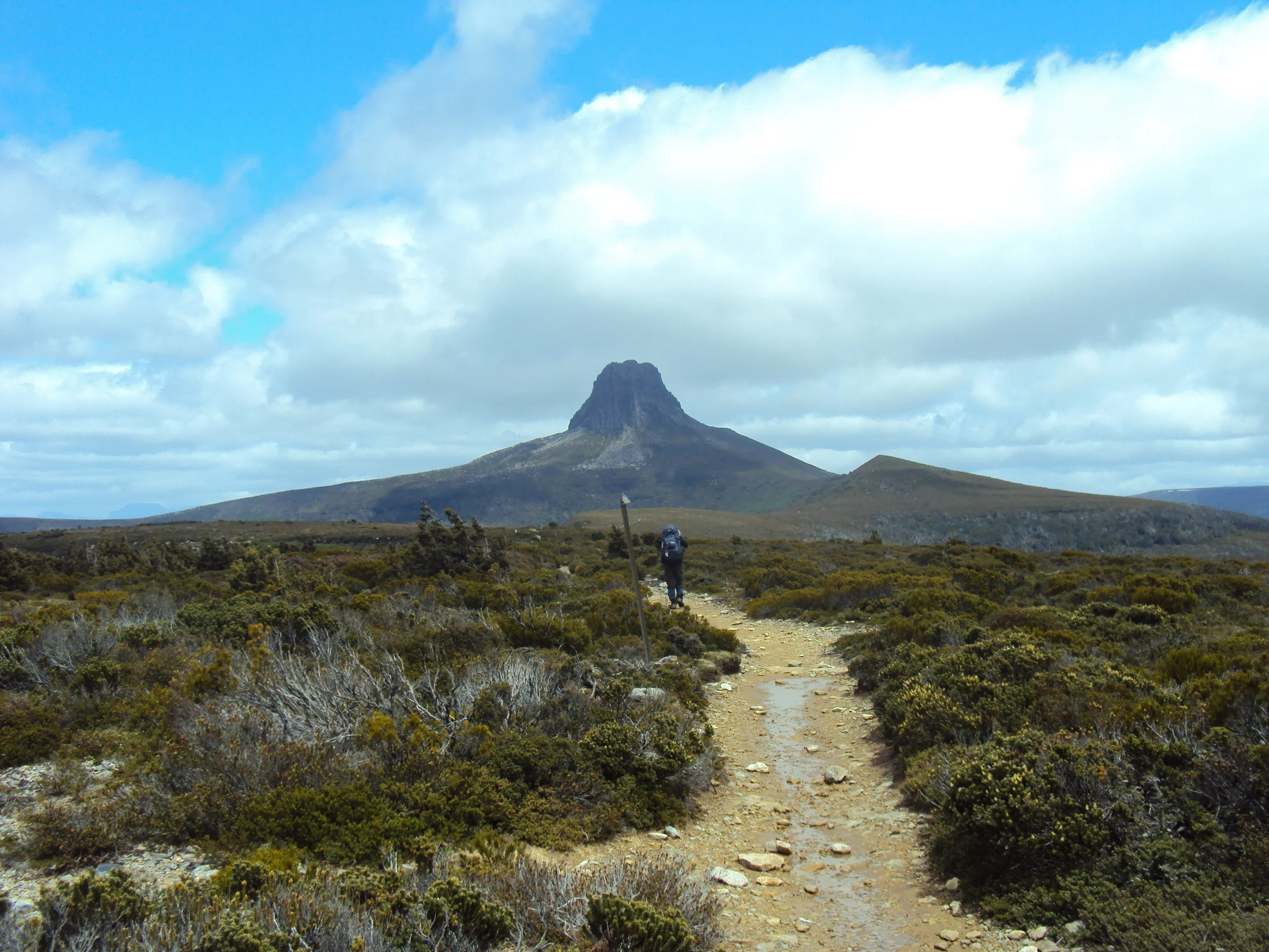
The Needles are a group of rocky spires that protrude from the landscape of south west Tasmania, which you pass when driving the Gordon River Road on the way to Lake Pedder and Strathgordon. The 2 – 3 hour return walk to the top-most Needle (1020m) takes you up a steepish trail with spectacular views unfolding as you ascend.

From the top you have a 360 degree panorama of the SW Wilderness World Heritage Area.
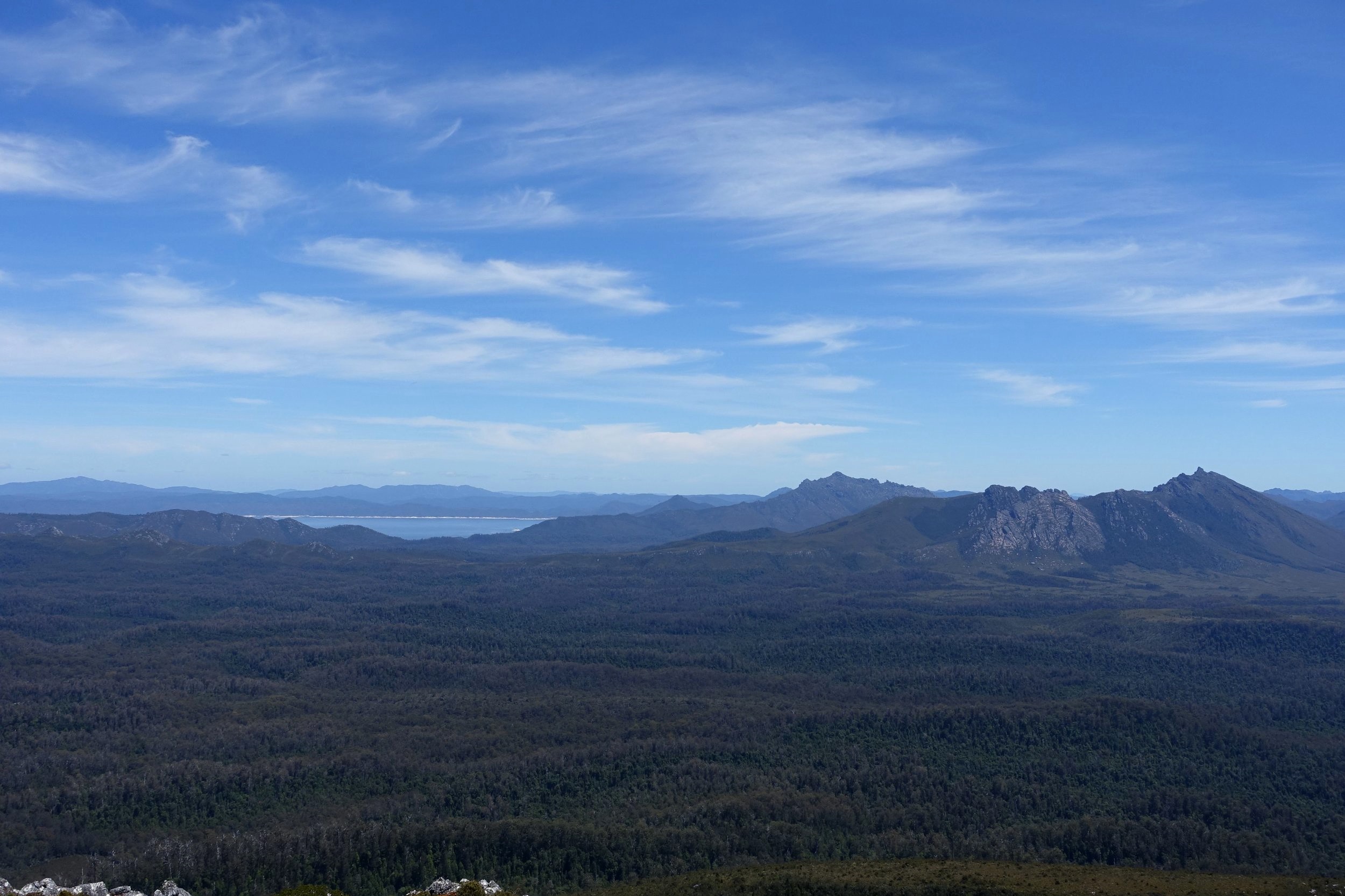
Views of lake Gordon and the saw back range
The start of the Needles track is only a one and a half hour drive from Hobart, so it is an excellent choice for getting a taste of the Tasmanian wilderness, while still starting and finishing your day in your comfortable hotel, guest house or home.

If you’re lucky enough to get a clear day, as we did, you’ll be justly rewarded for the modest effort needed to complete the walk.
The Walk
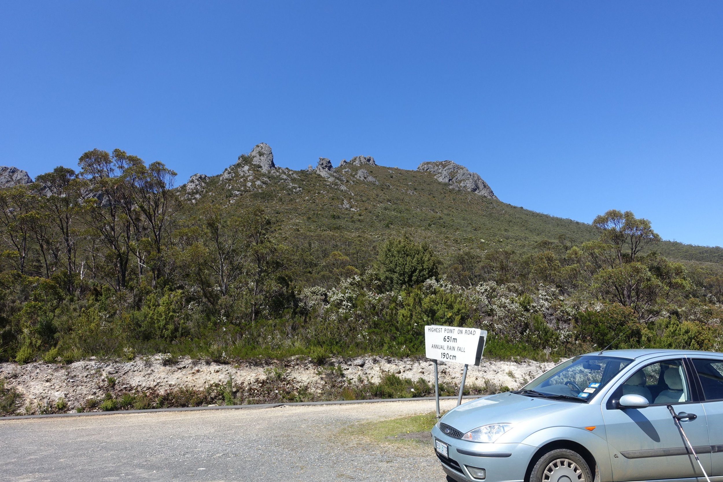
The Needles car park is beside the sign indicating “Highest Point on Road – 651m” which is 16kms past the town of Maydena heading west.
From the car park two rock cairns on the opposite side of the road indicate the start of the trail.
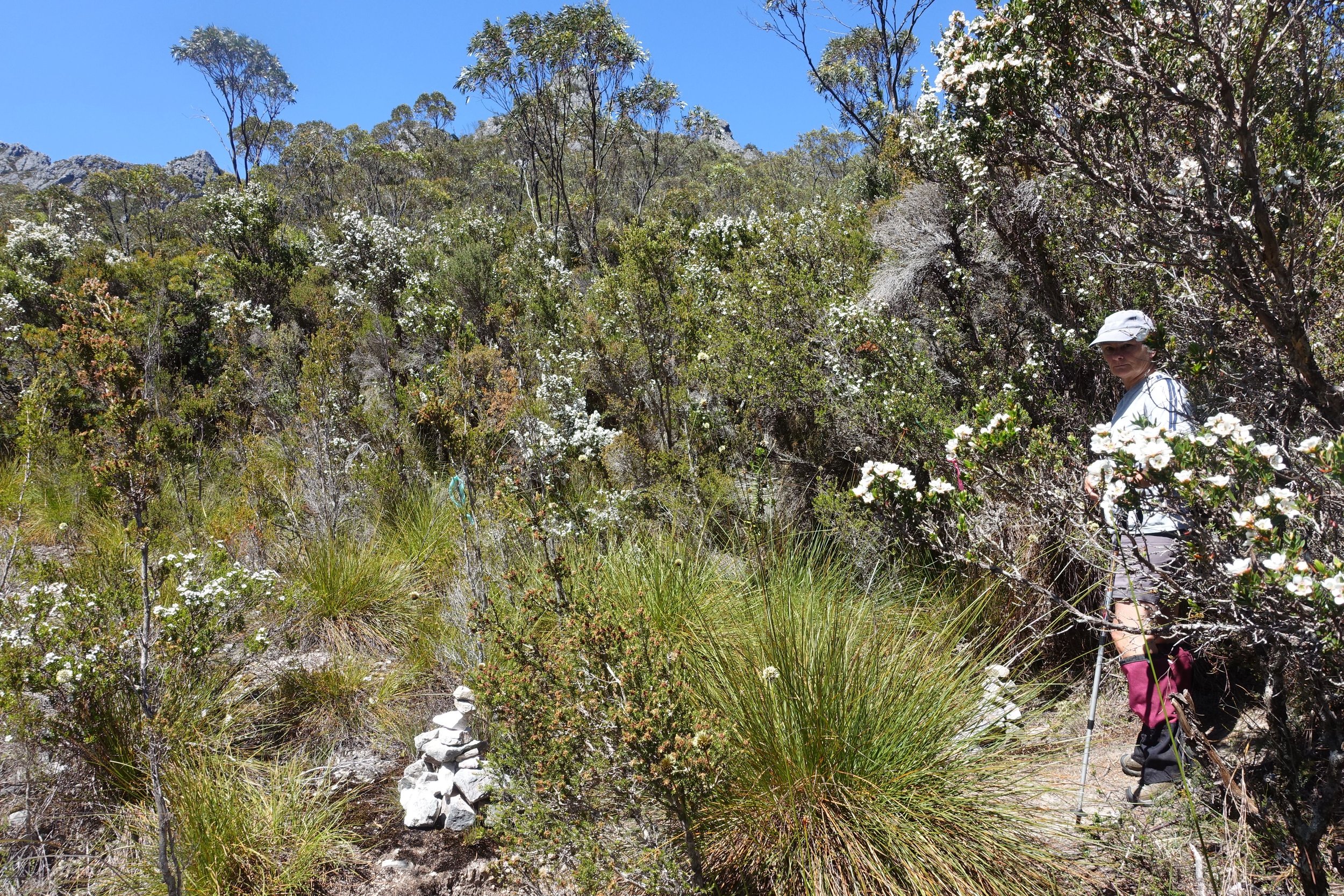
turn right at the two cairns
A short distance in two more cairns and pink track tape point to a sharp right hand turn.

This is where you’ll find the walkers’ registration book.
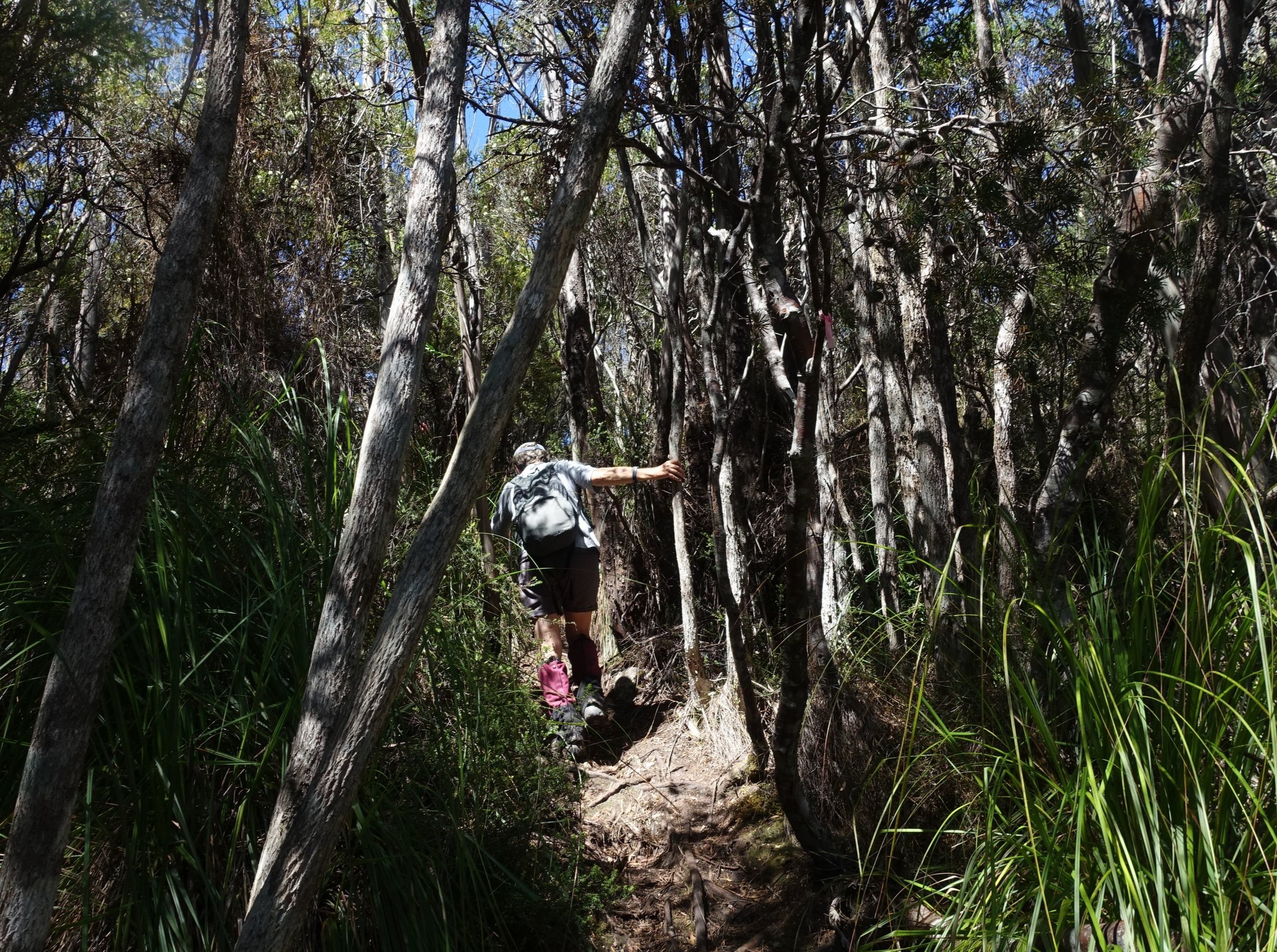
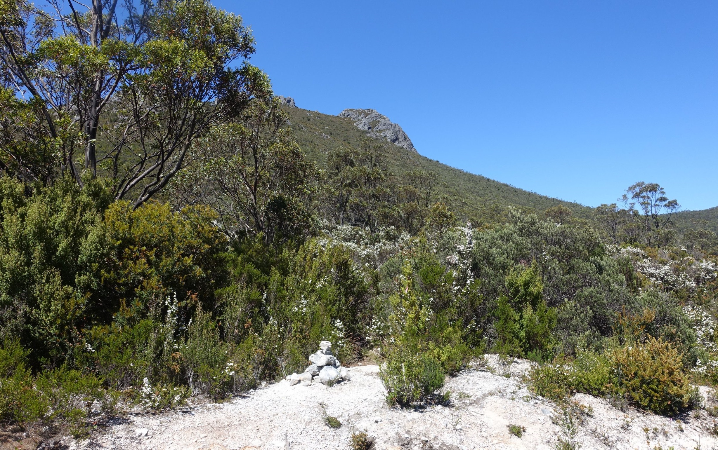
The track is well marked with coloured tape and cairns. After a brief period walking in shaded forest we emerged into the open and began the climb.

heading to the first outcrop
There are essentially three rocky outcrops to be “bagged” before you reach the top. Depending on your age, level of fitness, and state of your knees (ours aren’t good) it’ll take between 20 and 30 minutes to reach the first outcrop.

arriving at the first outcrop
After a brief photo stop we continued on to the next group of Needles.
Initially we had the feeling that we were heading for the summit, but it soon became clear that there was a third rocky promontory lurking behind and above the second. The second outcrop takes another 20 to 30 minutes to reach after leaving the first.

nearing the second outcrop
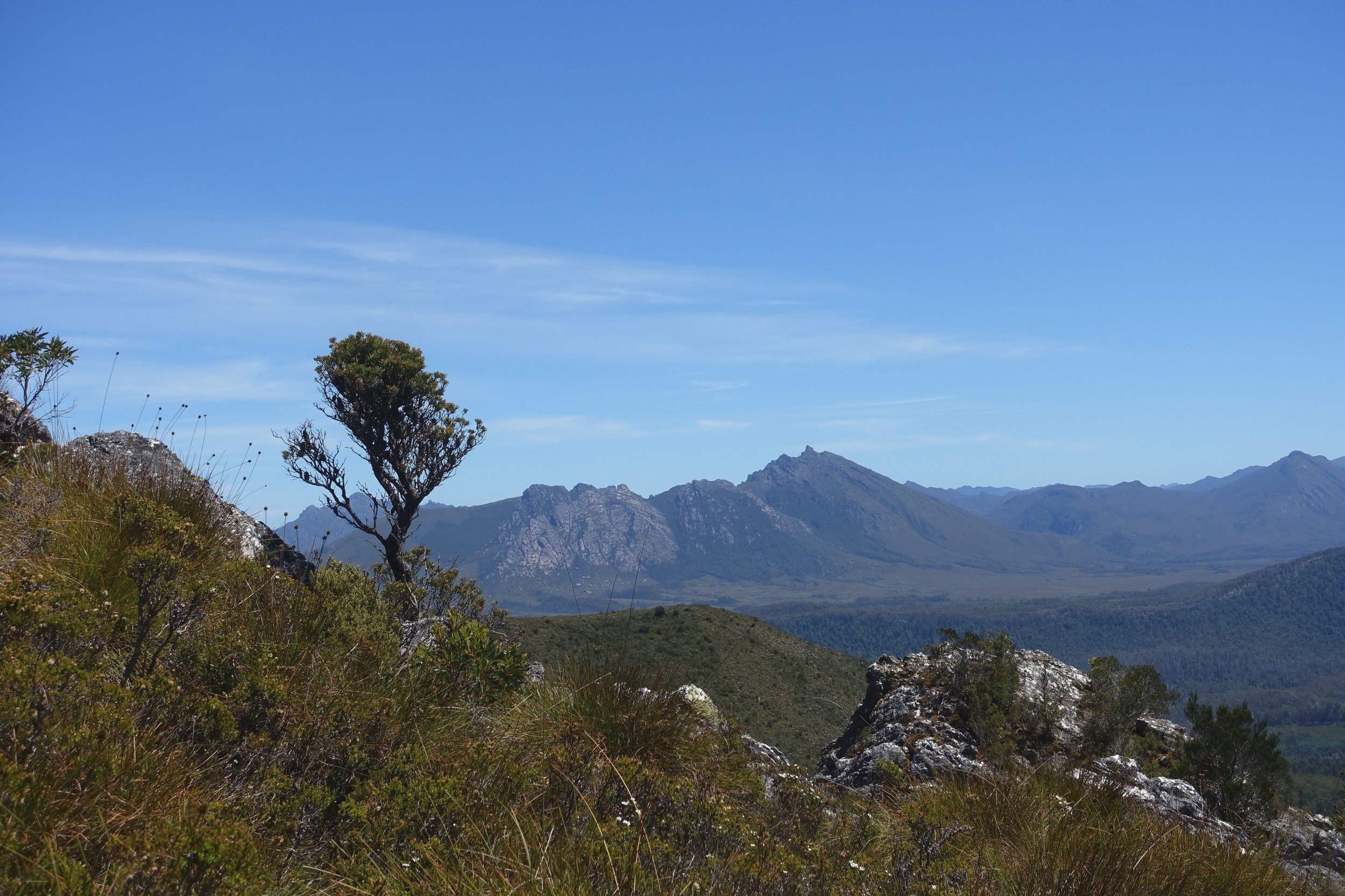
As we climbed the views started to become increasingly expansive and impressive. The Saw Back and Denison Ranges and Vale of Rasselas emerged to our right. Gradually Lake Gordon also came into view.

lake Gordon appeared
From the second to the third and final outcrop is another 20 to 30 minutes up a steepish trail.

nearly at the summit
If your lucky enough to do the walk in late spring or summer you might get to see a display of native flowers, such as Christmas Bells.

In one to one and a half hours you’ll reach the summit marked by a decent-sized cairn. The total climb from the car park is just under 400 metres.

The views from the top are fabulous and includes Mt Anne (the SW’s highest peak), Mt Mueller and the Western Arthurs to the south, with a glimpse of Lake Pedder.

The return trip involves retracing your steps.

heading down
Conclusion
With the whole walk completed in 2-3 hours you have time to fit in something else, such as calling in to Mt Field National Park to check out Russell Falls or continuing on to Lake Pedder and Strathgordon.
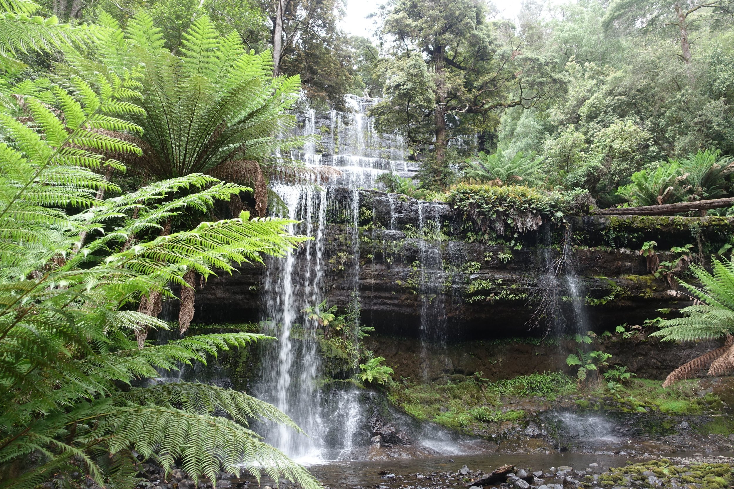
Russell falls
As mentioned, the Needles walk is only a short drive away from Hobart, yet we had the strong feeling of being well and truly in the wilderness as we took in the expansive views. There were few indications of “civilization” other than the road we came in on, which we saw disappearing below us during the first part of the walk.

the Gordon river road is well below
There are few cities anywhere in the world that can boast such wilderness experiences on their doorstep.

We maintain that this is one of the most spectacular short wilderness walks in Tasmania, if not Australia.
Ken and Cally
PS If you’d like a bit more info about the walk and a couple of useful maps check out the TasTrails post on the Needles by clicking here.


