Cruising the Coast - Portland to San Francisco
/Northern Californian Coast
This post covers a road trip we did over four days in early March 2017 from Portland, Oregon to San Francisco, California down the Pacific coast. We’d spent a lot of time recently on interstate highways travelling across the country, so we wanted slow it down and cruise down the coast.
Day 1: “Three Capes” – Portland to Yachats
the road from portland to cape meares
We started our trip in Portland, which yes, is not on the coast, its 85 miles/ 135 kms inland so the first step was to drive to the coast. Early March is still winter and the forecast was for rain and snow. The road west from Portland goes through the Tualatin Mountains and we did in fact experience a solid dose of snow showers. The weather brightened as we reached the coast and Cape Meares.
the view from cape meares
Cape Meares is the most northerly cape of Oregon’s scenic Three Capes Drive. And it has some wild and spectacular views.
the octopus tree
Highlights of the cape were the Octopus Tree, Oregon’s largest sitka spruce; as well as its smallest lighthouse.
cape meares lighthouse
Heading south the second cape is Cape Lookout. Trails lead out along the cape, but with the weather still fairly unfriendly we settled for some photos from strategic viewing points.
cape lookout
The third cape is Cape Kiwanda.
the beach at cape kiwanda
Continuing south on Highway 101 there were regular opportunities for pulling over to admire the big seas and rugged shoreline.
We eventually arrived at the Yaquina Head Outstanding Natural Area (that’s its official name) just out of the town of Newport. The headland of high, basalt cliffs, is home to Yaquina Head Light Station built in the 1870s.
yaquina head light station
The headland is a popular spot to see migrating whales, but alas, we were not in luck.
We continued down the coast until we reached our lodging for the night at the seaside town of Yachats, pronounced ya-hots.
Day 2: “The Wild Oregon Coast” – Yachats to Crescent City, California.
devil's churn
We started the day with a visit to Cape Perpetua, five minutes’ drive south of Yachats and checked out the Devil’s Churn.
cook's chasm
And Cook’s Chasm.
Continuing down Hwy 101 we called into the Sea Lion Cave. The cave is the largest sea cave in the US. It has a huge, 12 story high domed ceiling, and is home to a large colony of sea lions.
After paying $US14 pp. we took an elevator from the top of the cliff down to the sea cave at sea level. From the viewing area, we could observe 300 sea lions. Even more powerful than the image of so many sea lions in one location was the noise they made and the extremely pungent smell.
300 sea lions in one huge cave
There was also a viewing platform with an impressive vista up the north coast.
Next on Hwy 101 we drove through a 50 mile/80 km stretch of coast of vast sand dunes, aka the Oregon Dunes National Recreation Area.
oregon dunes
We stopped for a quick trudge up a steep dune at Honeyman State Park.
Continuing on we found ourselves constantly pulling off the road to admire the rugged and dramatic Oregon coastline and to take snaps. It was cold, wet and windy, but that only added to the grandeur.
More stunning views.
We then drove across the state border into California and onto our accommodation at Crescent City.
Day 3: “The Redwoods” – Crescent City to Fort Bragg
a giant redwood
Continuing south on Hwy 101 we drove into the famous Californian redwood forests. The road through the park weaves through huge stands of redwoods.
We stopped at Prairie Creek Redwoods State Park Visitor Information Center for some maps and info. We chose the Big Tree Trail, a 2.4mile/3.9 km circuit walk, which leves from beside the visitor centre.
on the big tree trail
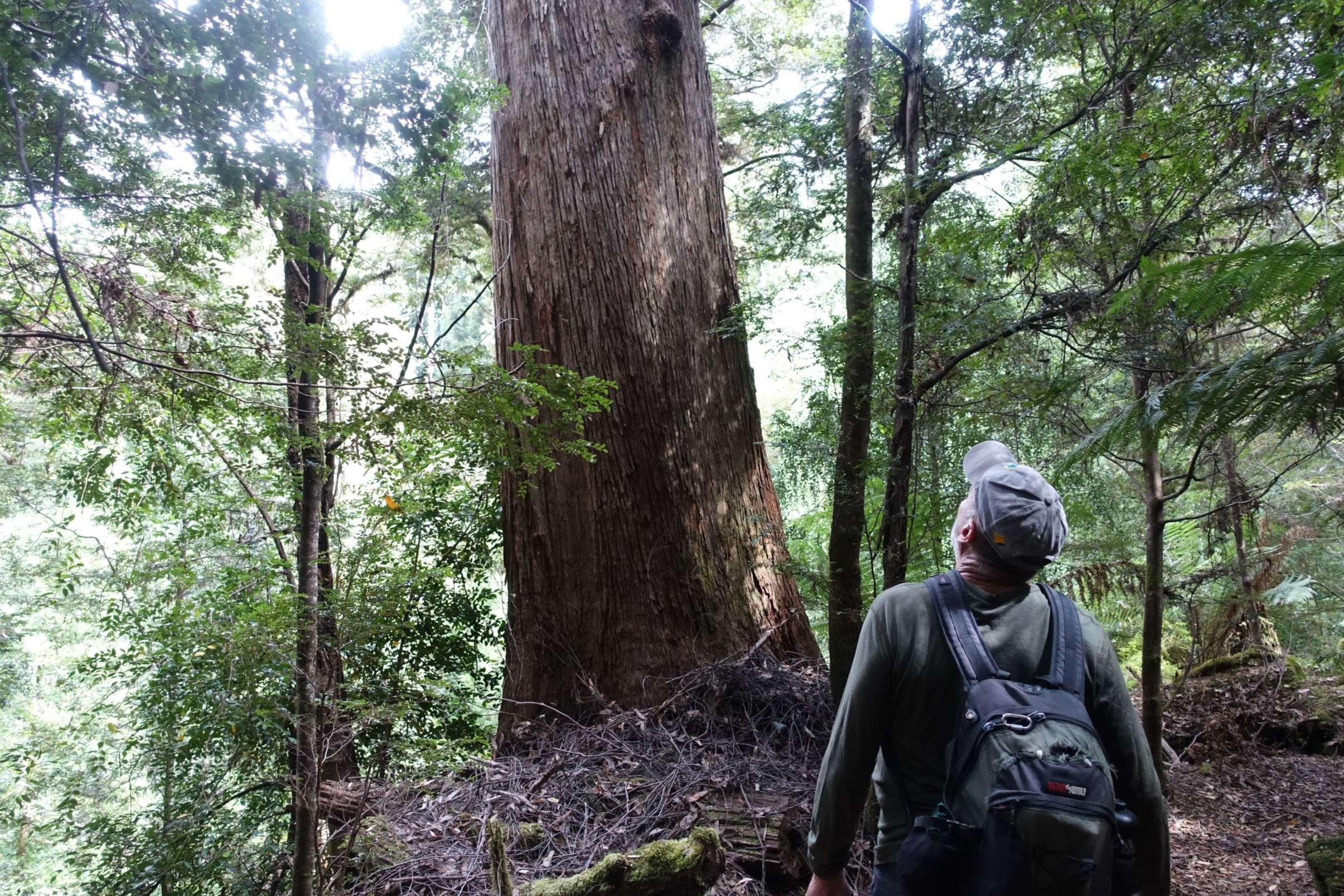
The trail gets you up close and personal to some of the world’s biggest trees, until you eventually get to the actual “Big Tree”. At an estimated 1500 years old, and with a height of 92 metres and a girth of 6.6 metres, it really is a BIG TREE.
Back on the road we stopped briefly at the fishing town of Trinidad to check out the harbour and boats.
trinidad
Probably the most scenic redwood drive is the Avenue of the Giants. This 31 mile/50 km stretch of road runs just south of the city of Eureka in the north to Phillipsville in the south.
a foggy drive through the avenue of the giants
After the redwood fest we drove on to the coastal resort town of Fort Bragg.
Day 4: “The Russians” – Fort Bragg to San Francisco
northern california coast
The spectacular views continued as we motored south in the morning. The Californian coast is just as dramatic as Oregon’s but there are fewer pull overs to stop at and get those panoramic shots.
the view of the coast near fort ross
But we still managed to get a few.
fort ross historic park
Roughly half way between Fort Bragg and San Francisco is the Fort Ross State Historic Park.
We knew that the Russians had famously sold Alaska to the USA back in the 19th century (1867 to be precise) and there had been Russian colonists living there at the time. But what we didn’t know was how far down the Pacific coast they had come. But at Fort Ross in 1812 a Russian settlement was established less than 90 miles/150 kms north of present day San Francisco.
They built a fort, a windmill, an orthodox church and 56 other buildings. The fort had several canons and the target of their concern was the neighbouring Spaniards. The Russians eventually sold the site to the US in 1841.
Today the park consists of several replica buildings and fortifications along with one original, the1836 built Rochev House, named after the last manager of Ross who lived there with his family.
When we visited a local school was having its annual excursion to the Fort with students, teachers and parents in full period costume.
the original rochev house
It’s a fascinating place.
Next stop was Point Reyes National Seashore. Apart from being home to a wide range of wildlife, including sea lions, bob cats and rare deer, Point Reyes sits directly on top of the San Andreas Fault. In fact, the Point Reyes region sits on a different tectonic plate to mainland USA – it is on the Pacific Plate while most of the USA is on the North American Plate.
the fence split with a4 metre gap in the 1906 earthquake
We did the short 15 minute Earthquake Trail, which leaves from near the Visitors Center. Interpretive panels explain the forces at play on the area. There’s even a fence split with a 4 metre/16 foot gap which shows what happened when the huge 1906 San Francisco earthquake hit the region, moving the fault line that distance in seconds.
From Point Reyes it was a short drive back to Hwy 101 and across the Golden Gate Bridge into San Francisco, the final destination for this leg of our journey.
A truly fantastic coastal drive.
Ken
