Mt Rogoona Circuit, Walls of Jerusalem National Park
/
Introduction
The Mt Rogoona Circuit is a 25km circuit* in the southern end of the Walls of Jerusalem National Park, Tasmania. It can easily be linked to other parts of the park, such as The Walls and Lake Adelaide (see our post on the Lake Adelaide Circuit by clicking here). It provides access to a less visited part of this increasingly popular national park.

junction lake track
The circuit takes in spectacular views of rugged Mt Rogoona, some beautiful lakes and a couple of historic huts. There are a number of good campsites along the route and it is also a way to access the exotically named Never Never.

junction lake
For the fit and fast the circuit can be done in 2 days, though 3 is more sensible, especially if you want to do a side-trip to the Never Never. In our case, with our dodgy knees, and slowing pace, we took 4 days.
I did the walk with long-time friend and trekking companion Graeme. Here’s how we did it and what we saw along the way.

*Note: The total walk length is about 25kms. It starts and ends at different spots along the Mersey Forest Road, which is the road used to access the more commonly visited section of the park that gives it its name – The Walls of Jerusalem. To avoid a tedious trudge of around 5km along Mersey Forest Road, either at the beginning or end of the walk (depending on how you choose to do it) we hid an old mountain bike in the bush near to where we planned to finish the walk. This meant that one of us could ride those 5 kms back to the car while the other stayed with the backpacks. This is a technique we have successfully used before. For a basic map of the circuit scroll to the end of this post.
Day 1: Hobart to Walk Start and on to Campsite #1

The car park at the end of the Mersey forest road
Having packed the night before we left Hobart at 8.00am, stopping at Deloraine for a late breakfast. Back on the road we paused to hide the mountain bike at our intended end point before arriving at the start of the circuit at the end of Mersey Forest Road. This is also the beginning of the Moses Creek Track. We finally commenced the walk at 2.00pm.

the start of the moses creek track
The first kilometre is an old four-wheel drive track that leads to a suspension bridge.
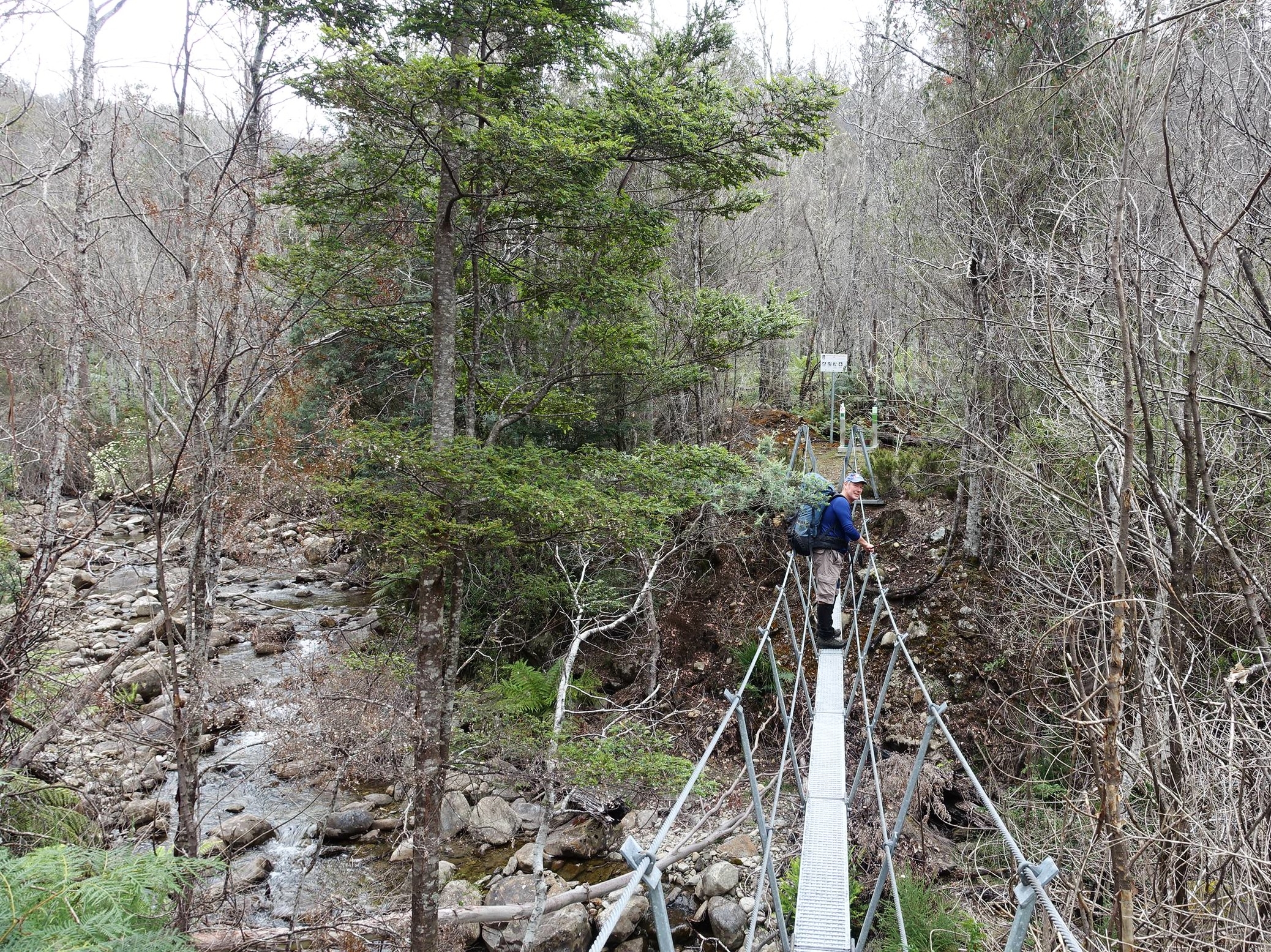
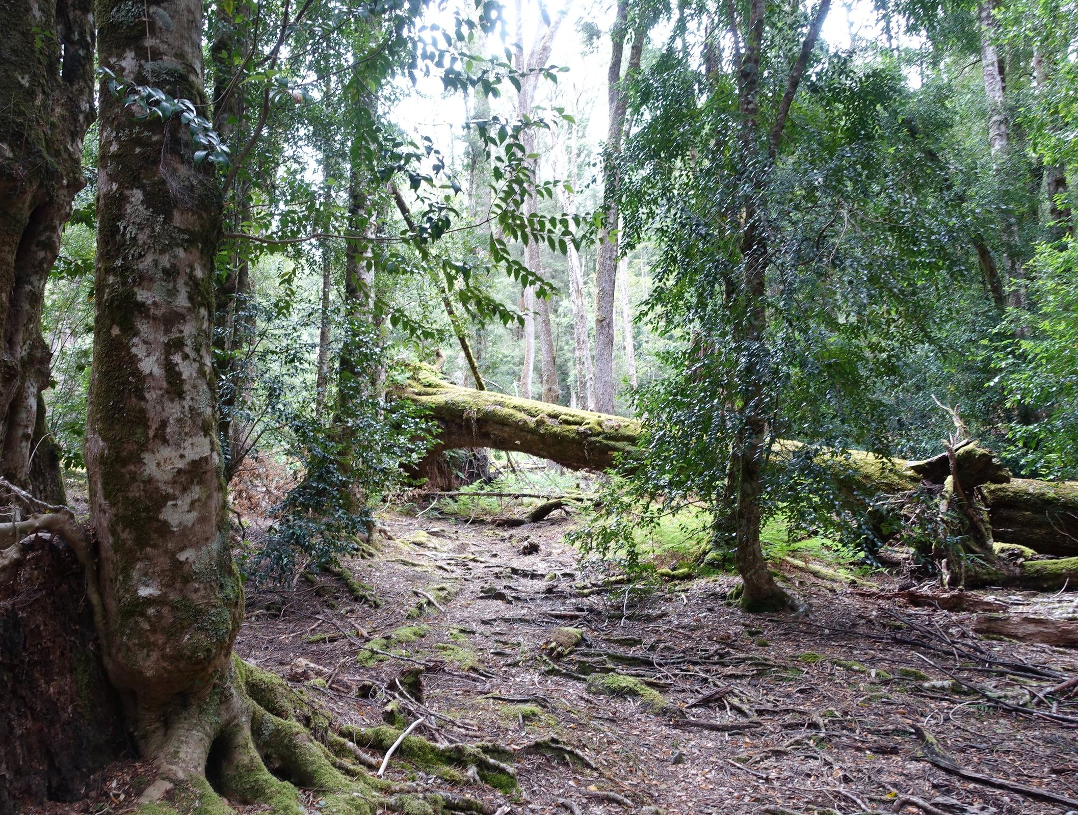
Shortly afterwards we commenced to climb up onto the Central Plateau. This was a slow slog up a seemingly endless slope.

Eventually the track evened out and we reached Chapter Lake. This is a pretty lake with some good camping spots.

chapter lake
It’s also adjacent to Grail Falls.

grail falls
We stopped for a bit to take in the view of the lake and falls and to chat to some other walkers who were camping here.
Returning to the main trail we continued down the Moses Creek Track heading for Junction Lake. An hour after leaving Chapter Lake, at around 6.00pm we decided we’d had enough for one day and made camp on a high, flat ridge. There was no access to fresh water, but we’d supplied ourselves at Chapter Lake so had enough to get through the night.

campsite night #1
Our walk notes told us that the next section, which paralleled Cloister Lagoon for several kilometres, was hard going, so we thought it better to tackle this when fresh in the morning.
Day 2: Continuing on to Junction Lake
Rejuvenated, we headed off after breakfast, and soon realised that we’d made the right decision to not take on this part of the walk on the previous evening when we were tired and it was getting late. Our notes described it as “a tortuous route as it endeavours to avoid the worst of the scrub” (from John Chapman ETAL’s book ‘Cradle Mountain Lake St Clair and Walls of Jerusalem National Park’. Click here for more info on this useful guidebook which has detailed track notes and maps).
it was hard going
“Tortuous” – too true!!! That was an understatement as one minute we climbed to the top of the ridge overlooking the lagoon and the next we were scrambling down practically to water level, only to then repeat the process. It was hard going.

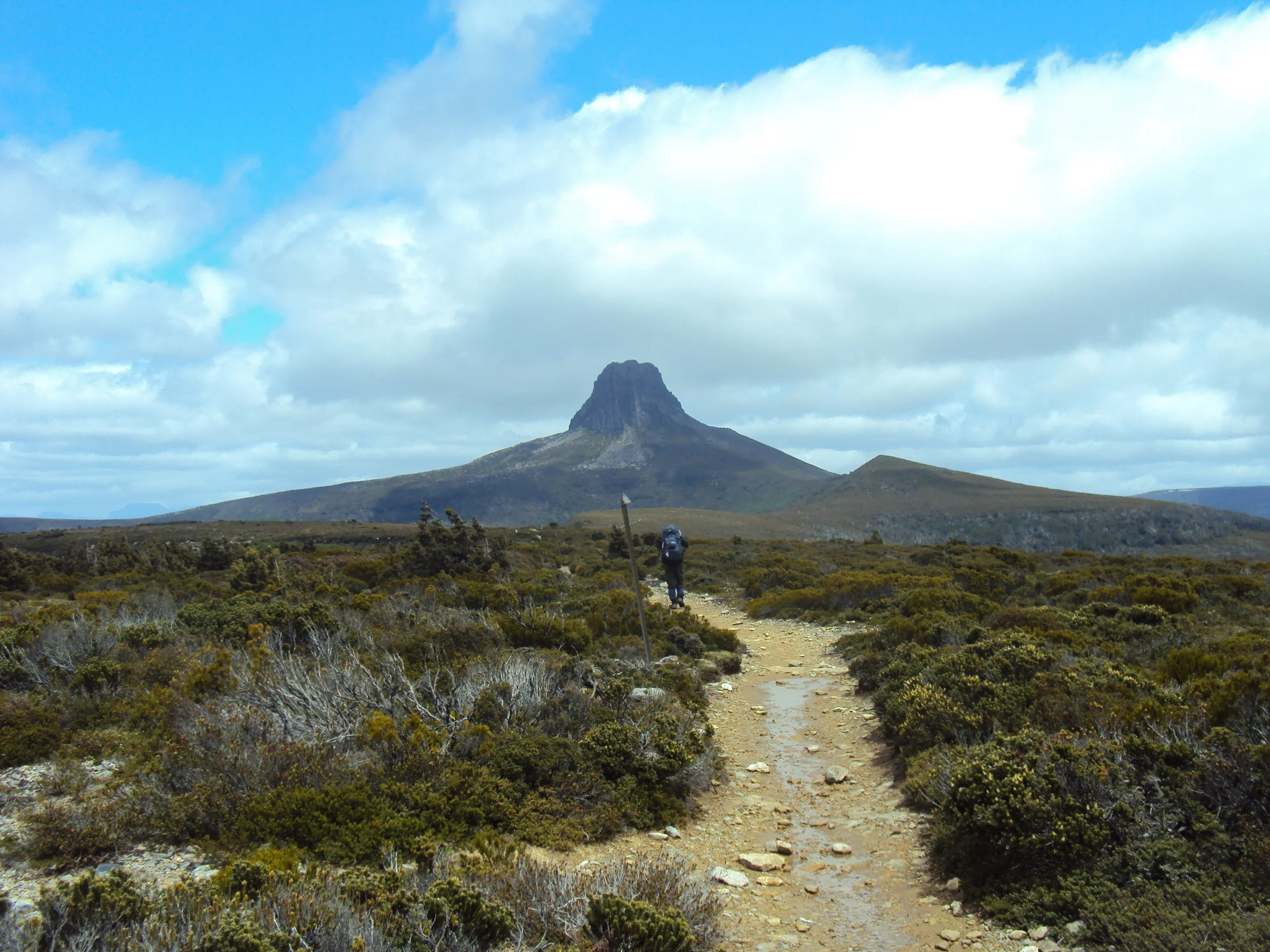
Eventually, we reached the end of Cloister Lagoon and the landscape opened up. Here we got our first views of Mt Rogoona over to our left.
first views of mt rogoona
The track then descended into a valley and onto open plains before reaching our campsite for the night at Junction Lake.

the track opened up as we approached junction lake
This Day 2 leg had taken us 5 hours. So, along with the 3 hours walking from the previous day, it had taken us a total of 8 hours to walk the 10.2km of the Moses Creek Track. Slow going. Chapman’s notes say it is a 5-hour walk. Mmmmm??
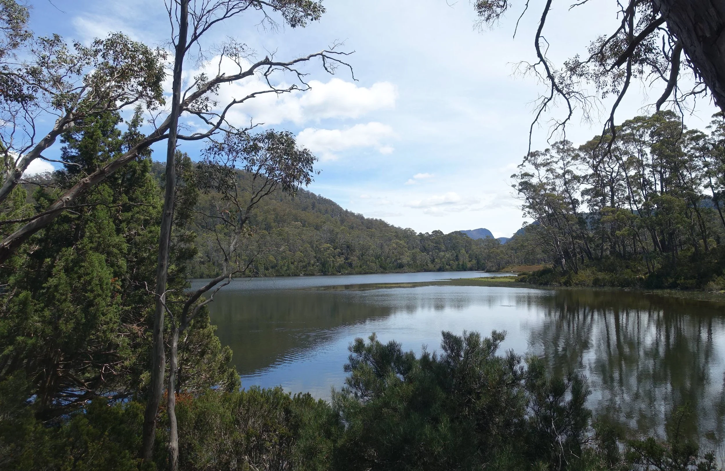
junction lake
There are some excellent campsites by the lake.

junction lake campsite
There’s also an old hut which we checked out.

junction lake hut
Our next goal was to venture into the beginning of the region known as the Never Never. We decided to leave this until tomorrow and spent the afternoon relaxing at our camp.
Day 3: A Glimpse of the Never, Never and the Walk from Junction Lake to Lake Myrtle.
We had a maximum of four days to do the walk due to commitments back at home so we could only spend around two hours to duck into the start of the Never Never before packing up and heading for our final night’s campsite on the shores of Lake Myrtle.

on the shore of junction lake
The Never Never is a valley through which the Mersey River begins its journey to the sea at Devonport on Tasmania’s north west coast. It spans an area of 5.5km in length for Hartnett Falls (which are accessible from the Overland Track) to Junction Lake. The “track” in is rough and unmarked. To do the full walk to Hartnett Falls and back would have been a full day (6-8 hours). We decided to go to Clarke Falls which is close to Junction Lake, and a little further along to get some views of the valley and associated peaks which line it.

Clarke falls
Clarke Falls involved a steep scramble down and back up, but it was worth it.

the steep climb up from Clarke falls
We also got some good views up the valley from the ridge just beyond the falls.

view of the never never
Returning to our camp, we packed up and headed along the well-marked Junction Lake Track which took us to Lake Meston Hut, about 4.5km in distance.

on the track to lake meston
It was a hot January day so we stopped for water and a splash at Lake Meston.
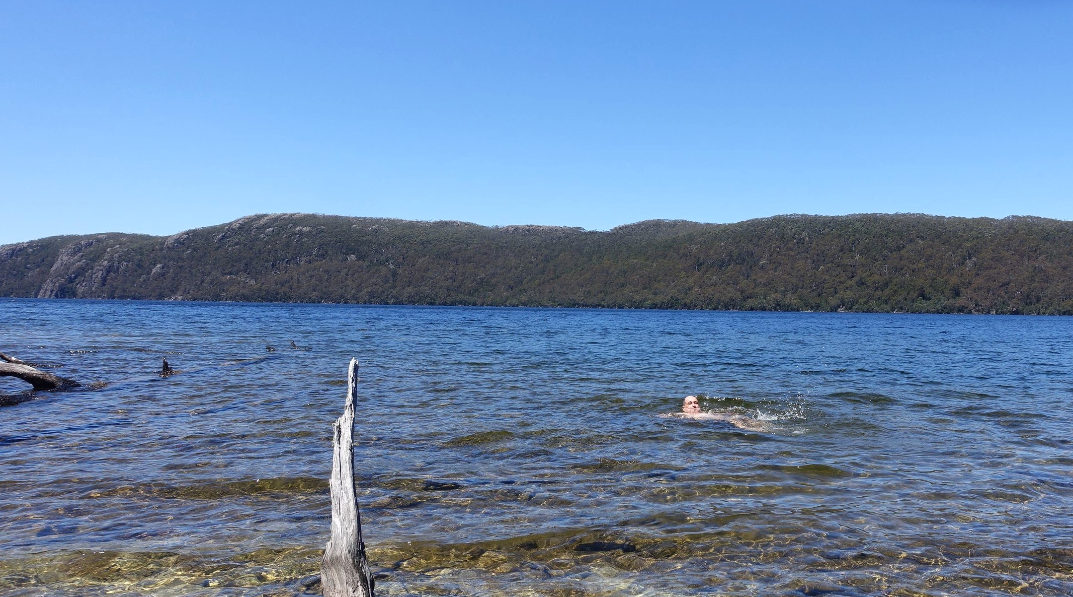
cooling off in lake meston
After a brief rest at the hut we headed up the ridge along the Lake Myrtle Track.

lake meston hut
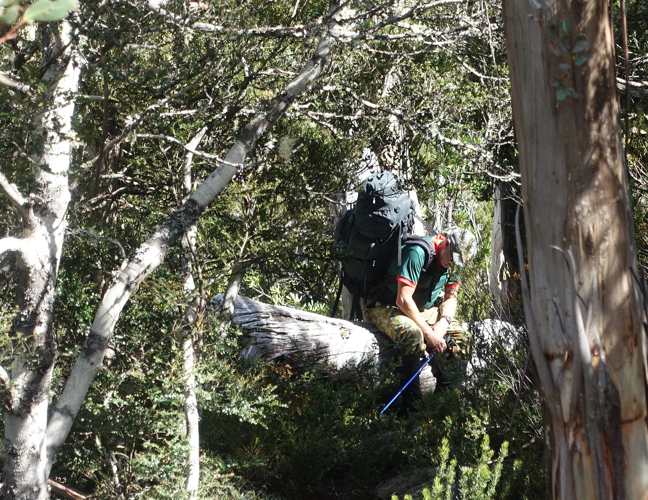
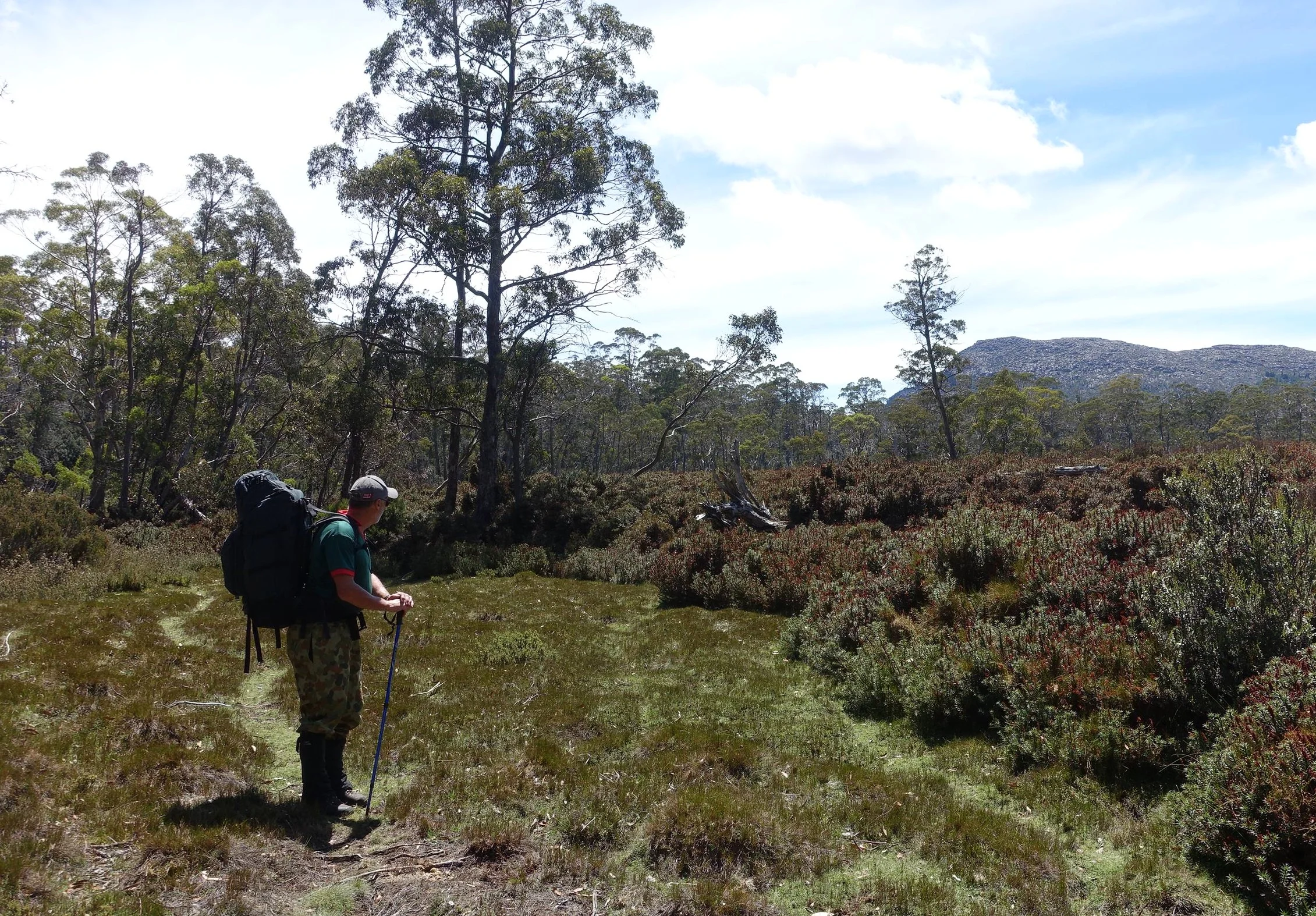
This was a more varied walk than other sections we’d done, with a regularly changing landscape.
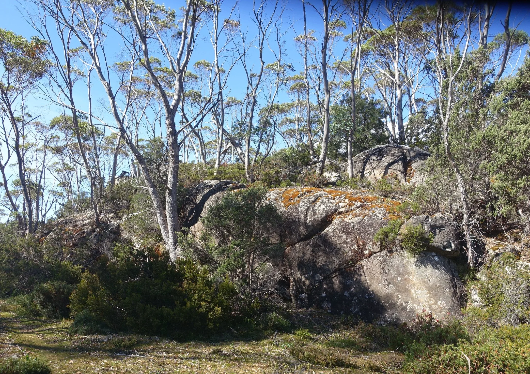
on the lake myrtle track
After about 3km we arrived at the stunningly beautiful Lake Myrtle campsite. Mt Rogoona loomed large to our left. Apparently, “Rogoona” comes from the local Aboriginal language and means brow or forehead. This seems like an apt name.

lake myrtle and mt rogoona
The campsite was like a manicured lawn leading to a sandy/gravelly little beach with easy access to the cleansing and refreshing water of Lake Myrtle.

how's this for a campsite?
On such a fabulous, sunny summer day this would have to be one of the most stunning wilderness campsites in Tasmania.And we had it to ourselves.

time for a well earned glass of red
Day 3 distance from Junction Lake to Lake Myrtle was approximately 8km.
Note: Keen peak baggers can climb to the top of Mt Rogoona. We decided just to admire it from afar.
Day 4 – The Last Leg
Back on the trail we passed Lake Bill. There was a lot of evidence of past bushfires.

a lot of bushfire damage near lake bills
It was then onto the ominously named Blizzard Plains.

crossing blizzard plains
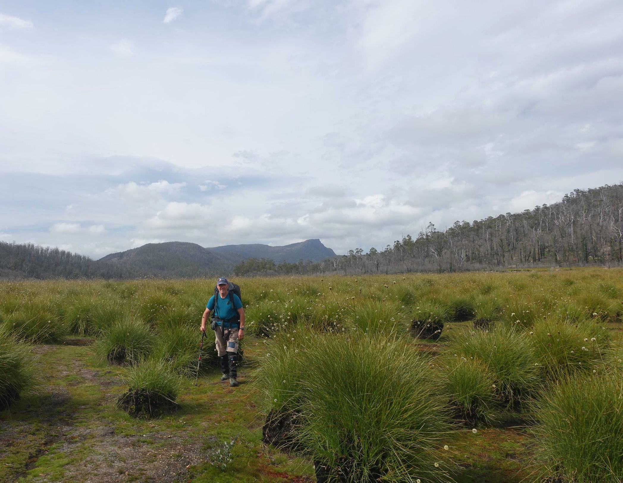
Happily “plains” means flat, and there were no blizzards today, so it was a pleasant, easy walk across the plain to the edge of the Central Plateau. The button grass was in flower which is a sight you don’t see every day.

flowering button grass with mt Rogoona in the distance
We then made the slow, steep descent to the Mersey Forest Road, which the walk notes said was a 630m descent. Not good for the knees.

the descent to lake Rowallan and the Mersey forest road
Finally, we mercifully reached the bottom and the deserted carpark. This last leg of the walk had been around 6.5km, making the total walk distance for the circuit 24.7km by our estimate. Let’s call it 25km!

off to get the car
The bike was retrieved from its bush hide-away and Graeme sped off to get our vehicle which was parked 5km along the road where we’d commenced the walk.
Conclusion
In summary, the first leg of the walk along the Moses Creek Track was hard going, and with the exception of Chapter Lake and Grail Falls, did not have a lot to recommend it. Do it if you want to do the circuit but be prepared for a bit of a slog.

Junction Lake was good, with excellent camping, and the logical starting point for exploring the Never Never. The walk from there to Lake Meston was easy with some nice views of the lake. But the highlight was undoubtedly the Lake Myrtle campsite with its views of Mt Rogoona. It was worth the days of effort alone.

All in all a good walk that can be linked to other parts of the Walls of Jerusalem National Park quite easily.
Ken
This is a very rough that I have created. For more detailed information on the route the Tasmania 1:25000 Series maps are recommended - Du Cane (4235) and Cathedral (4236).