
The Leeaberra Track – Douglas Apsley National Park, East Coast Tasmania
/
douglas river
Introduction
The Douglas Apsley National Park is on Tasmania’s East Coast, between the towns of St Marys and Bicheno. It gets its name from the park’s two main rivers. The Leeaberra Track runs the length of the park. Its name comes from the Aboriginal word for the Douglas River. The park contains the largest remaining area of dry sclerophyll forest in Tasmania. It also has rivers, waterfalls, rugged rock formations and a variety of vegetation types.

With friend and long-time walking companion Graeme (who also has a dodgy knee) we decided to tackle the 2.5 day, 28 km walk. This meant carrying all we needed for the trip on our weary shoulders thus giving our knees a real workout. We’d done many long wilderness walks in the past but it’d been a few years since our last big hit out, so this would show whether we could still handle the rigors of such an undertaking.
Day 1
The walk is done from north to south. This reduces the risk of spreading phytophthora root rot, a plant disease which exists in the southern part of the park, south of the Douglas River (which is approximately the mid-point).

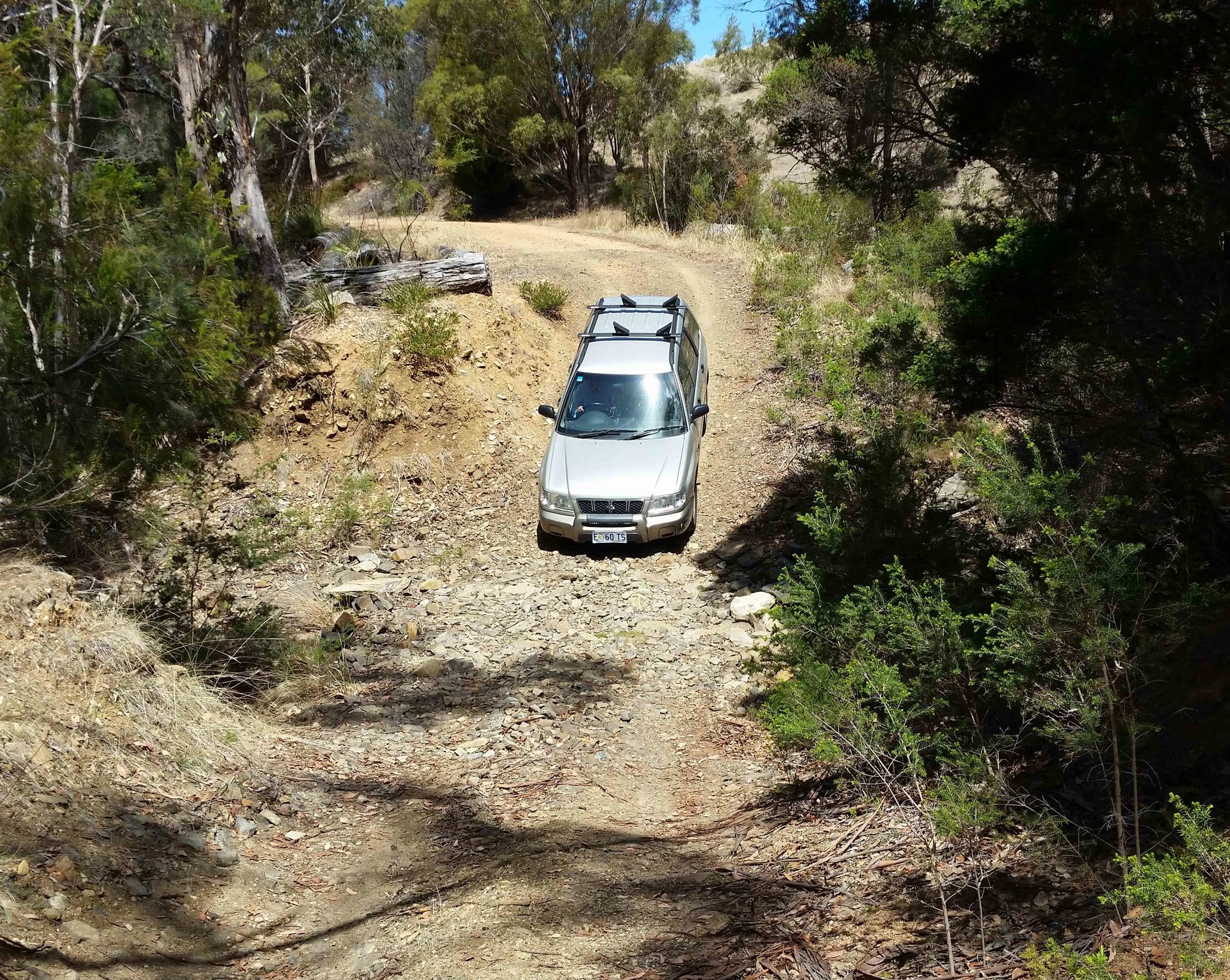
Access to the start at Thompsons Marshes at the northern end of the park involves a 7 km rugged, 4-wheeled drive track (the ‘E’ Road) which comes off the Tasman Highway 24 kms north of Bicheno. For more info on getting to the starting point along with track notes click here for the Tasmanian Parks and Wildlife Service Walking Notes.

To do the walk in just one direction we needed to take 2 cars, dropping one off at the end point, Apsley Water Hole, on our way to the start.
As we had an all-wheel drive vehicle we were able to travel the access road to the car park at the beginning of the walk. Many years ago this road was passable by conventional vehicles, at least the first 5 kms, but two bridges have been washed out in recent years and there has been no upkeep of the road, so now it is 4x4 only.
the first of the bridge wash outs
After completing the walker registration, we headed off for the 2.5 hour first leg to the Day 1 campsite on the upper part of the Douglas River. We started in bright sunshine mid-afternoon.

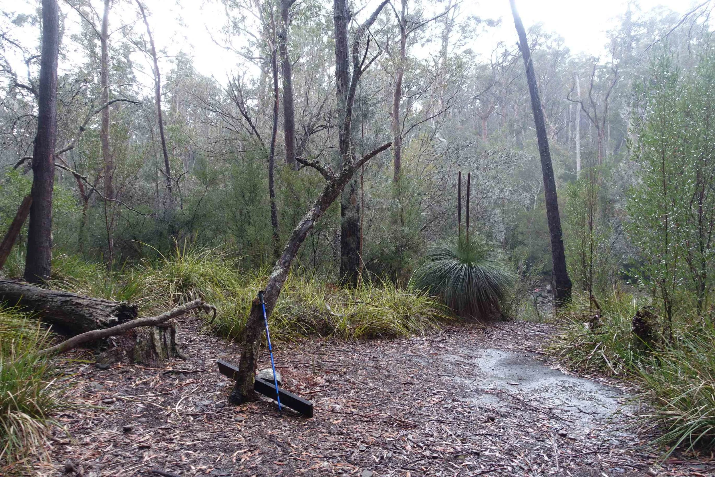
The track was a little overgrown in parts. It isn’t walked very often nowadays. But there are orange metal arrows on trees and/or coloured tape to mark the way, so as long as you are paying attention, the track is reasonably straight forward to follow in most sections.

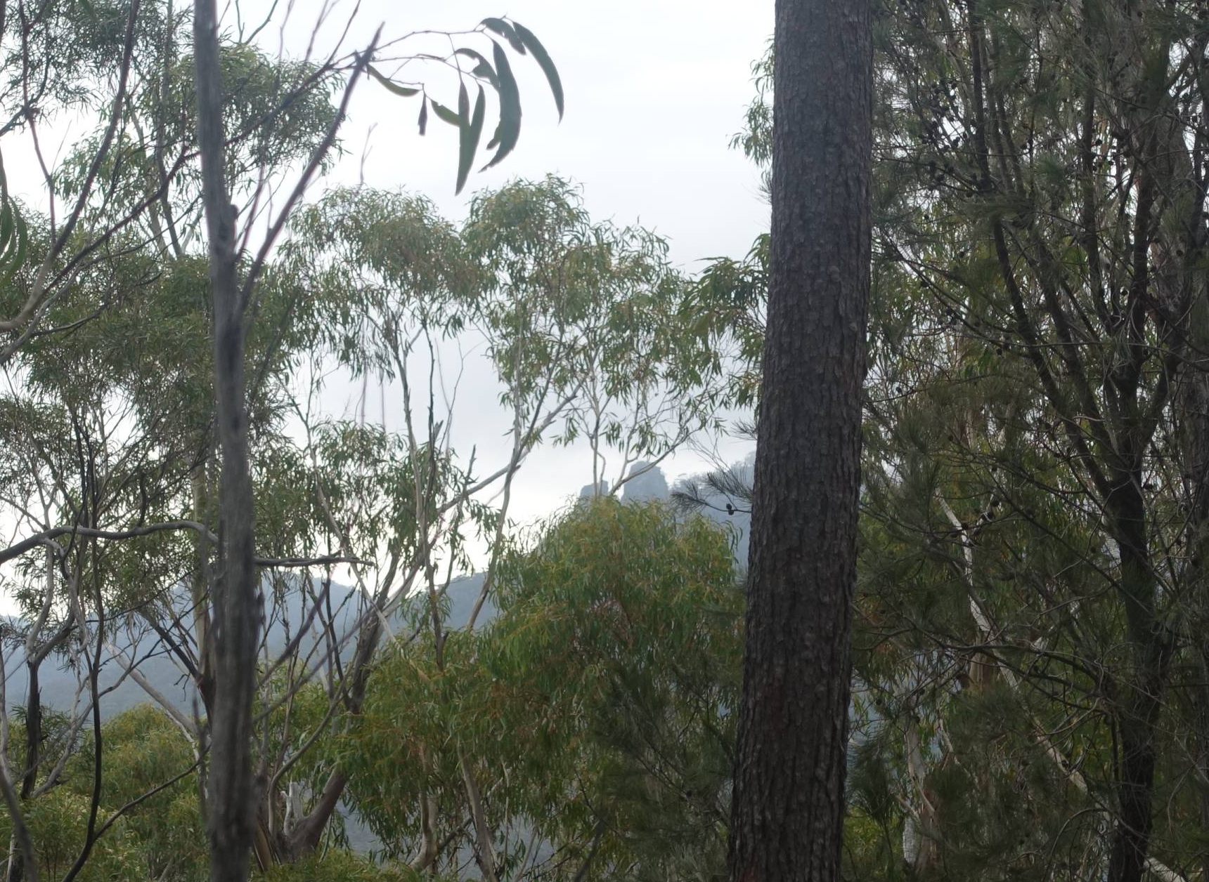
The campsitefor the first night sits on the bank above the Douglas River and the water is drinkable.
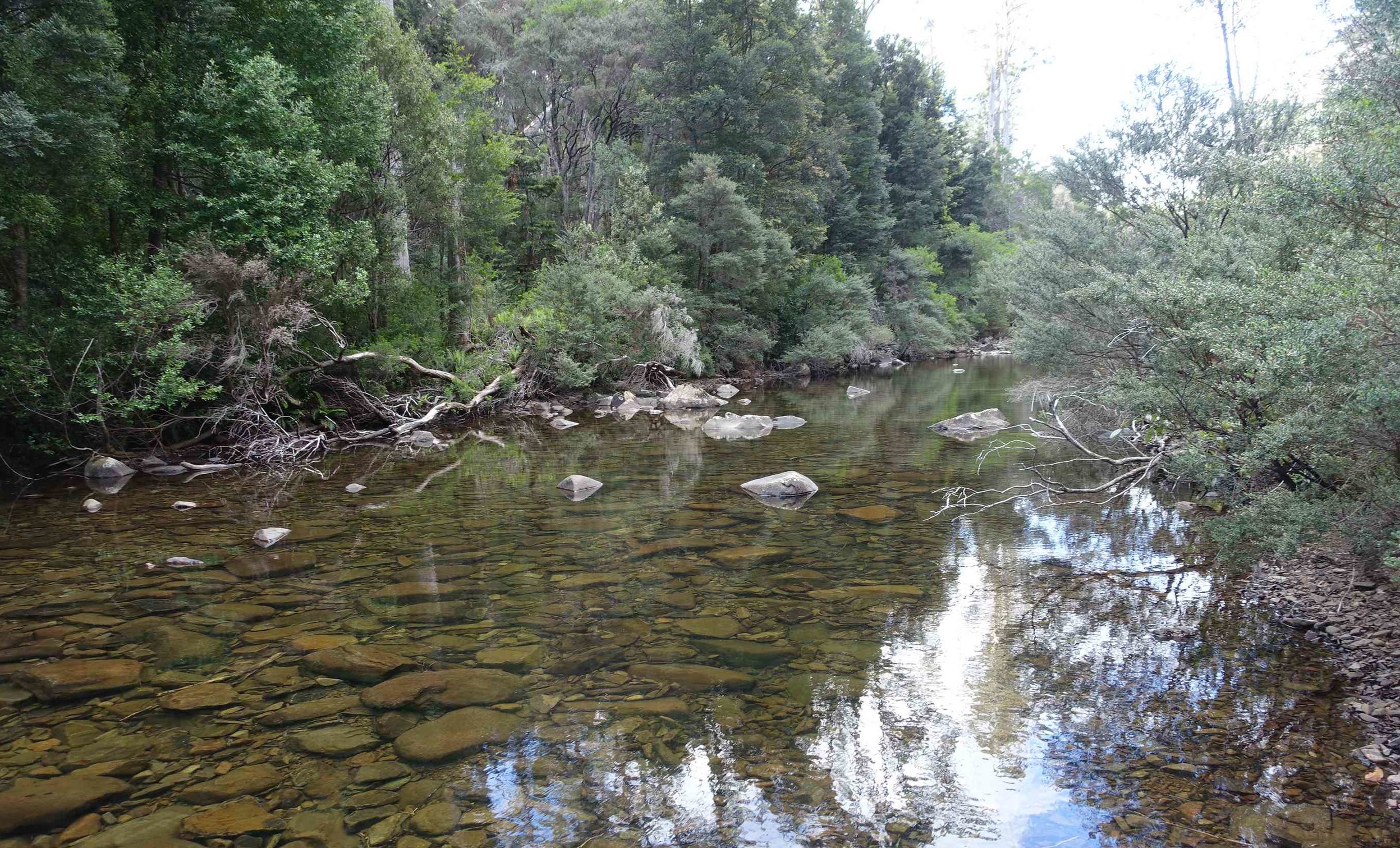
upper douglas river beside the campsite
From here normally you can do a 45 minute return trip to Heritage Falls. But, on this occasion, the National Parks Service had put a sign at the registration station stating that the Heritage Falls track was closed due to flooding ( sign posted August 2017). Chances were it would have been fine as it was three months since this had occurred, but it had been very dry in recent months on the East Coast that the falls would not have been particularly impressive. So, instead, it was time to put up our tents, cook something hot, and have a glass of chateau cardboard red wine.
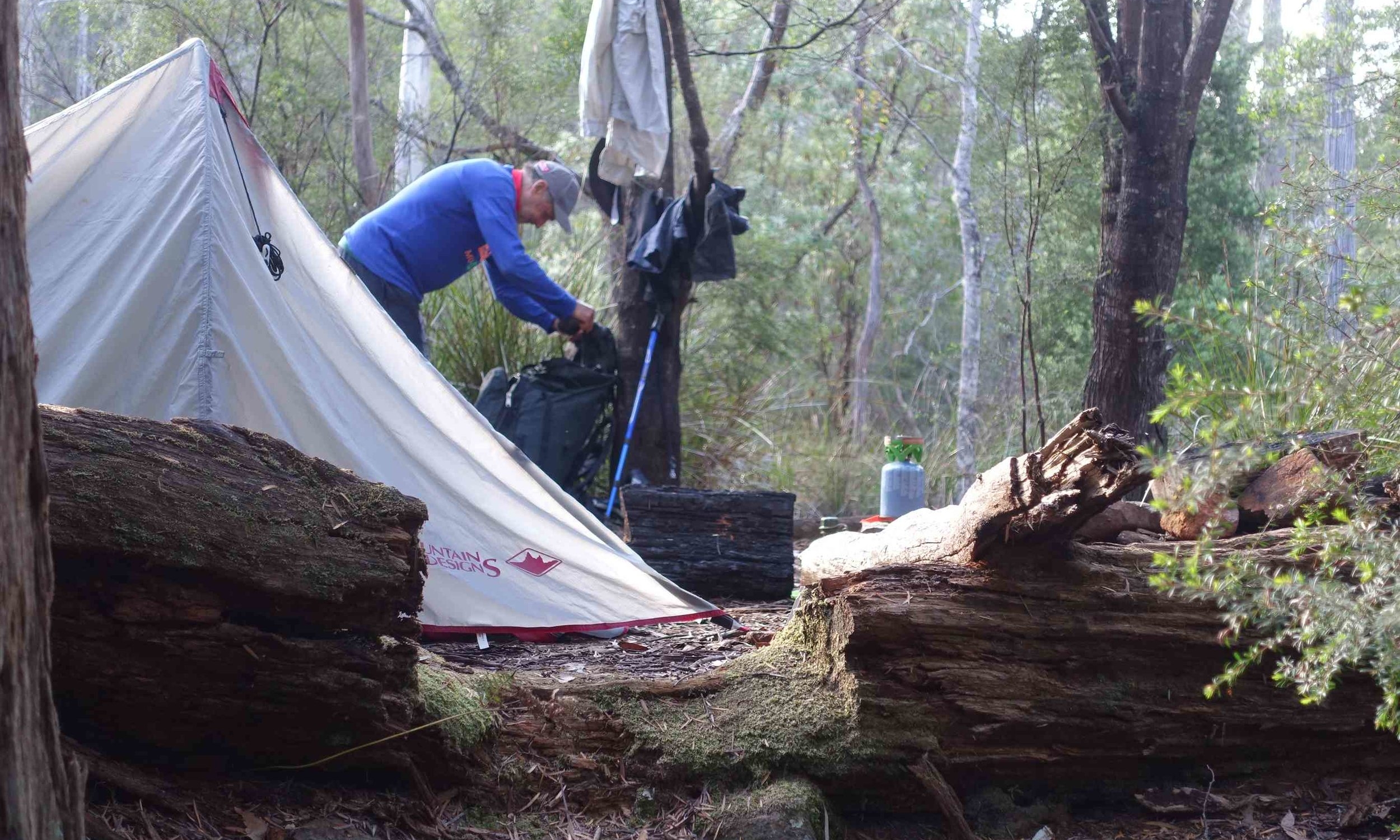
campsite - first night
Day 2

heading off - day 2
The day started with the sun shining, though the clouds were building in the distance. This day included the walk highlights – two side-trips: to Lookout Hill and Nichols Cap. A third side-trip, the Rainforest Ledge loop walk, we decided to by pass due to time constraints and its reputation as a leech haven.
The walk to Lookout Hill junction took 1.5 hours. The side-trip up the hill was around 40 minutes return. From Lookout Hill we got good views of the distant coastline.
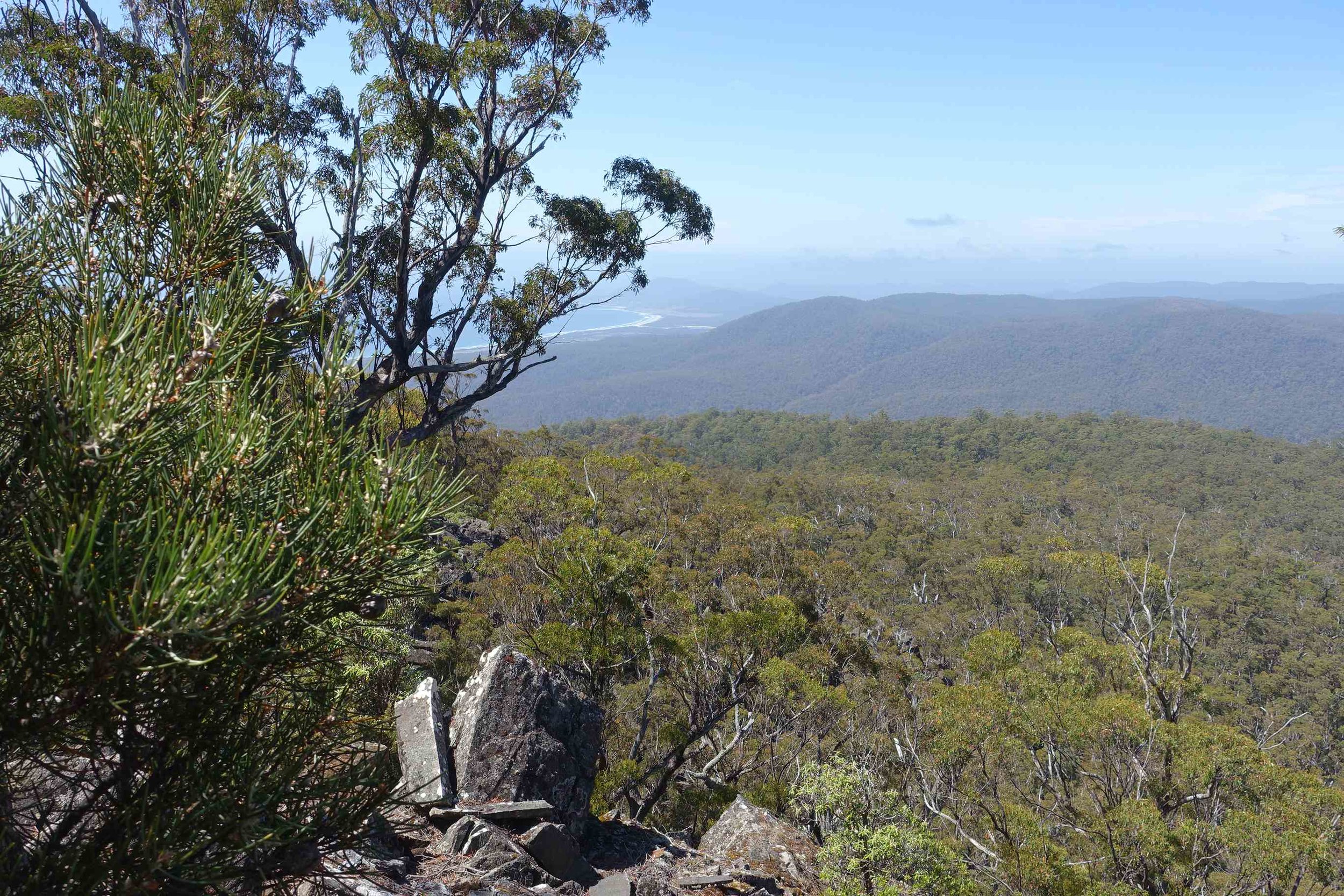
view from lookout hill
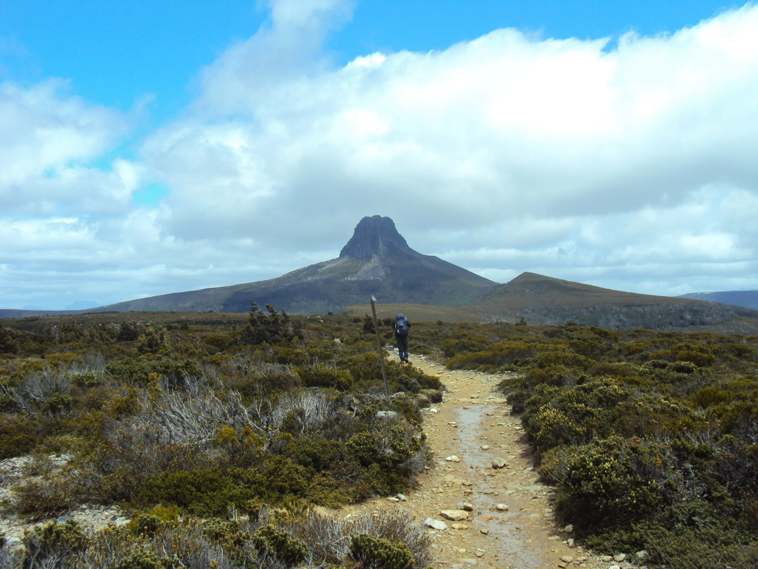
We returned to the main track and a 45 minute walk ensued before arriving at the junction of the Nichols Cap track. Again, this detour took around 45 minutes return and took us to the top of Nichols Cap with close-up views of nearby Nichols Needle. Not sure who Nichols was to deserve all this attention.

graeme on nichol's cap looking across at the needle
Back on the main track it was around 2 hours to our Day 2 campsite on a wider, more southerly part, of the Douglas River. The last 30 minutes involved a long decent into the river valley and was accompanied by a thundering downpour.

descending to the douglas river
We were unable to put up our tents for 2 hours after arriving at the campsite as the rain, and at times hail, pelted us. Eventually it stopped, and we were able to make camp and get dry.
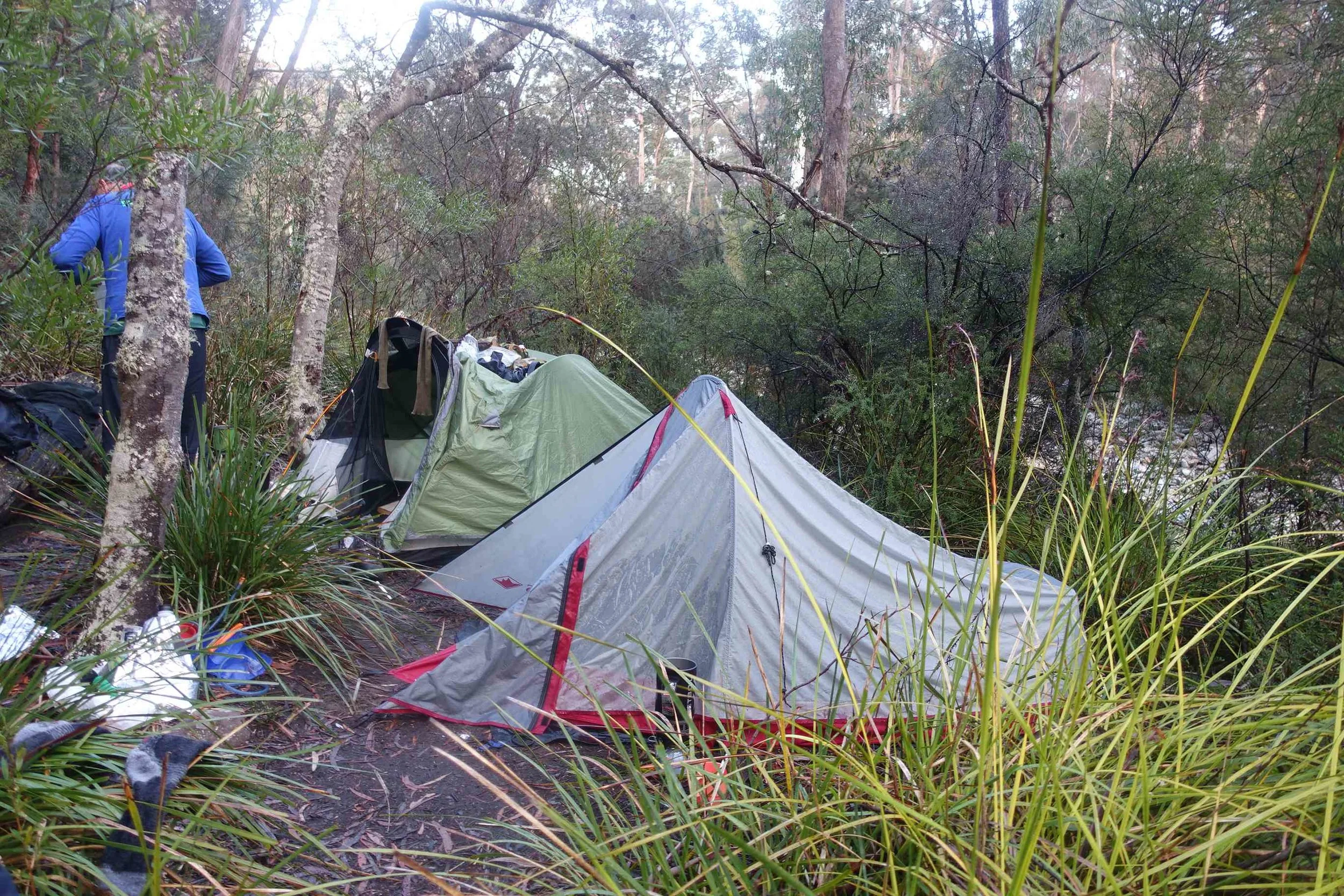
second night campsite
We’d now completed around half of the total walk length with one day to go.
Day 3
heading up and out of the valley
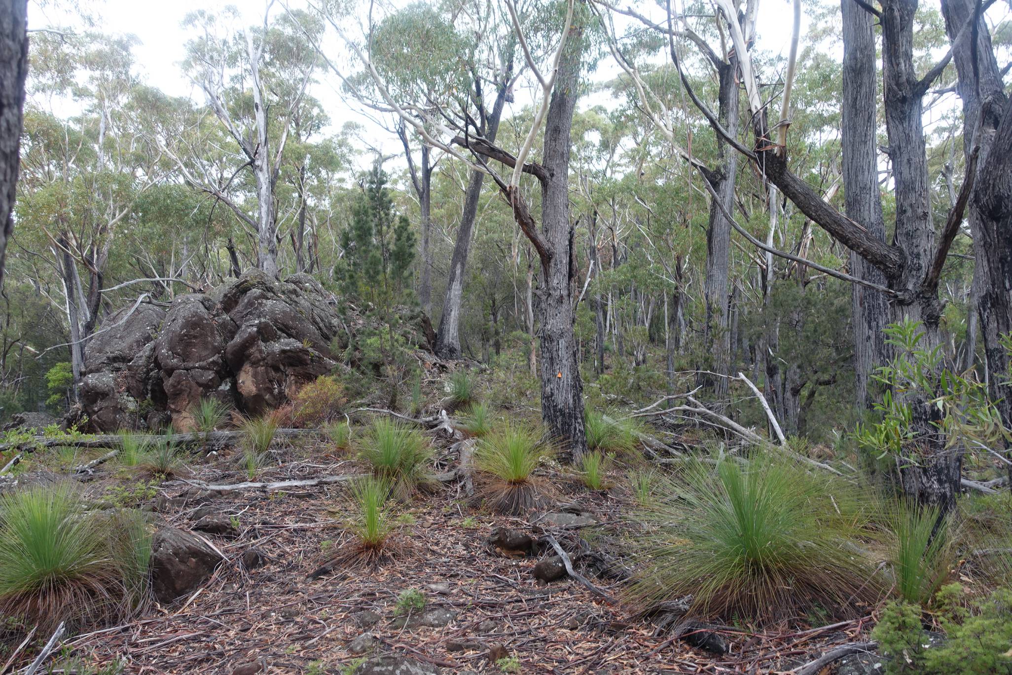
The third day was overcast and a little cooler than the two previous days. This was a blessing as we slowly made our way up out of the steep Douglas River Valley to the top of the escarpment. From here we could get glimpses of Nichol's Cap and Needle, where we had stood the previous day.
a glimpse of nichol's cap and needle
The next phase of the walk was relatively flat, though not always easy, as we found ourselves navigating through high stands of cutting grass in some places. This can be a real tripping hazard as well as a landscape where its hard to see where the track goes.

making our way through cutting grass
Eventually, we headed down to the Denison River followed by another climb as we left this valley behind.
Day 3 was 14 kms in all, so it was a fairly long day with heavy packs. We’d eaten most of our food and drunk the wine to reduce the weight, but the tents and the previous days clothing were drenched from the rain,which added weight.

little orange arrows on trees point the way
We were very pleased when we finally reached the Apsley Gorge Track and, shortly thereafter, the Apsley Water Hole. A well-earned dunk in the water hole was called for.

a local family were enjoying the water hole
Here we picked up our vehicle and headed north to retrieve the other car. Unfortunately, the vehicle we'd left at the Water Hole was conventional and could not get up the ‘E’ Road beyond one the kilometre mark, at the first bridge wash-out. Consequently, we had a “bonus” 6 km walk to finish our trek and reach the other car.
Conclusion

Overall, it was a fairly demanding walk for two fellas a little out of practice and not as spry as we used to be, but we did complete it and enjoyed the experience, as well as the satisfaction of finding that we can still do some demanding walks.
Cheers Graeme!
Ken


