Return to Shippies - Shipstern Bluff Walk
/Updated October 23, 2021
Introduction
In November 2017 we published a post describing the day walk to the famous southern Tasmanian big wave surfing spot of Shipstern Bluff aka Shippies. Four years on we’ve returned to Shippies to check out the upgrades to the walk that we’d heard had been done. This post describes these changes. The walk itself still takes four hours return following the same track. But there have been some nice improvements to amenities and signage in the intervening years.
These upgrades are described in the next section, followed by the 2017 post, as our original walk description is still relevant.
The Changes
New signage to the national park is the first thing we encountered.
This was followed immediately by the significantly expanded car park.
A toilet block has been built and is a welcome addition.
Clear signage.
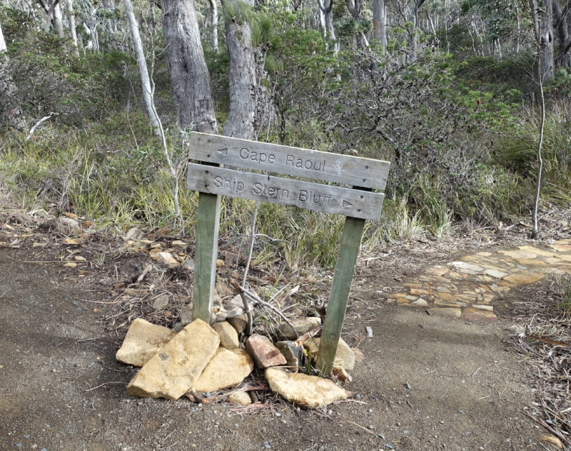
A more modern, new sign has been installed at the point where the Cape Raoul and Shipstern Bluff tracks diverge.
An interesting seat awaits if you want to take a rest on the way.
There is some serious track hardening at various points on the trail.
A mini-viewpoint is a good spot to take in the dramatic coastal vista.
And just a little further on is a new, much safer, fenced viewing area.
With spectacular views.
And tiered seating.
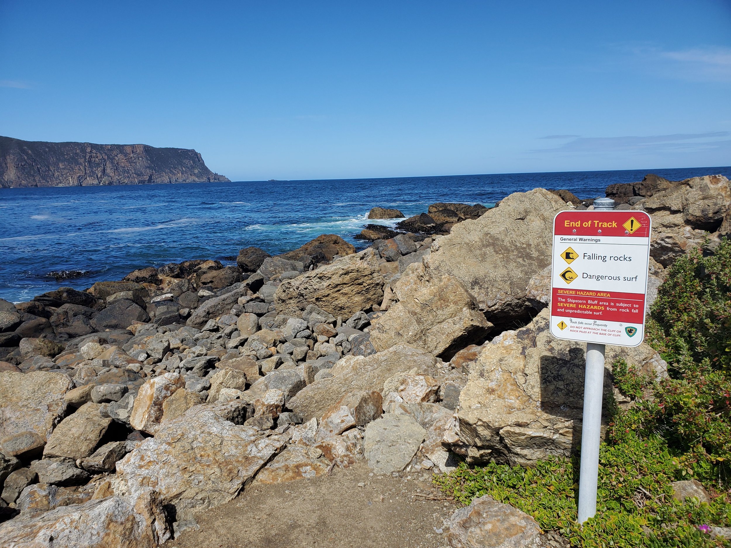
A bit more safety signage than we remembered from before.
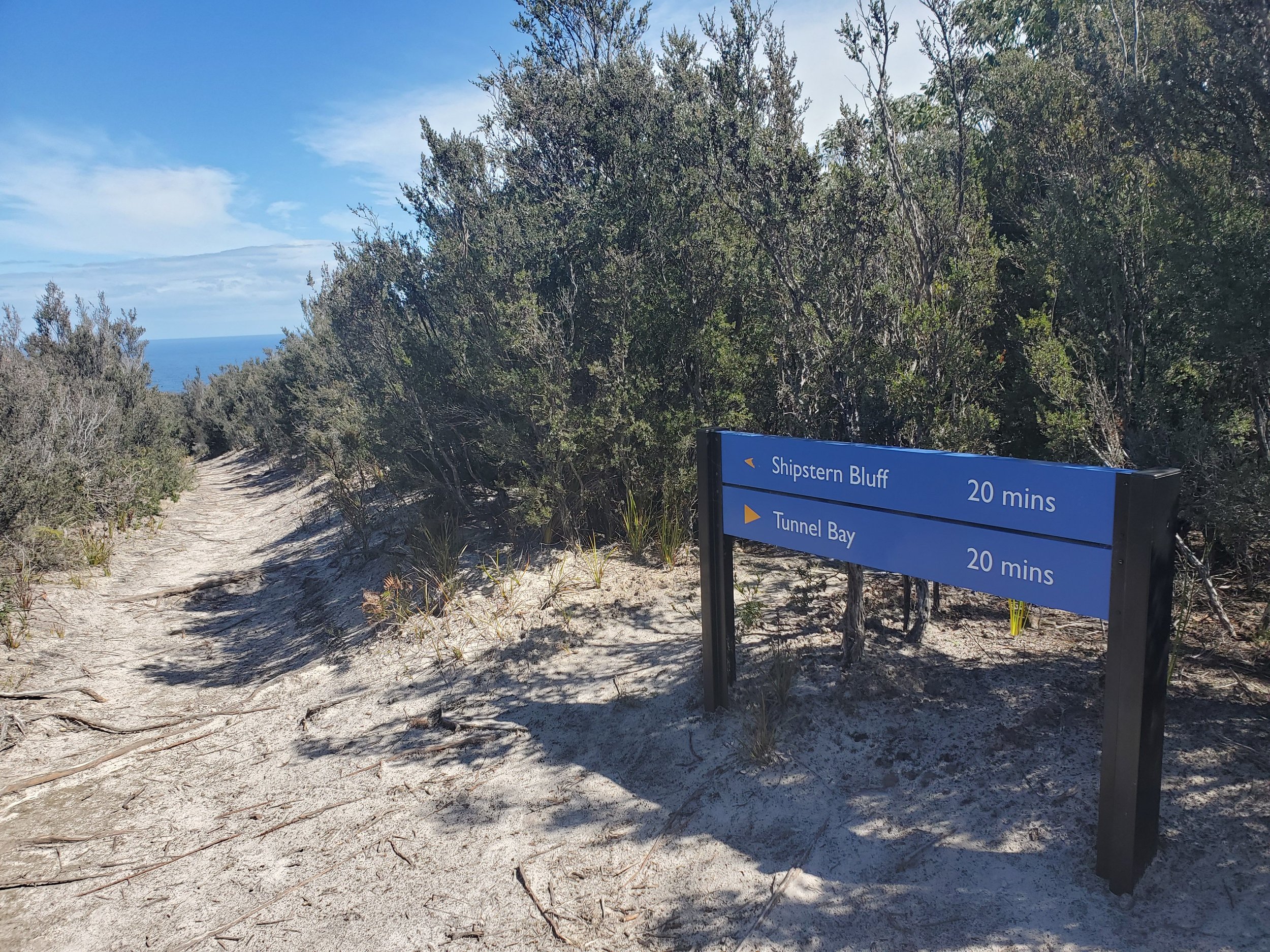
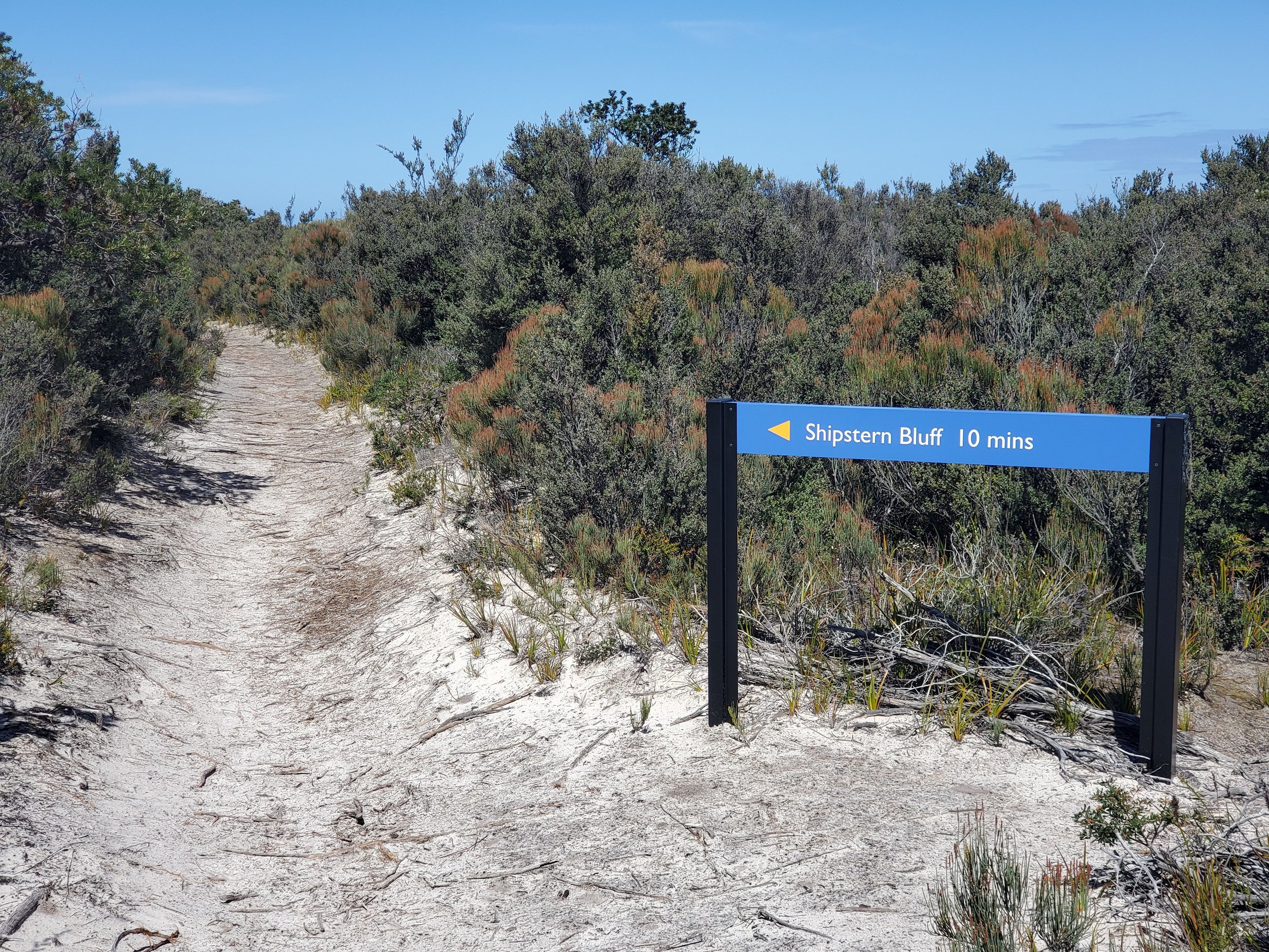
The track eventually splits again with Shippies to the left and Tunnel Bay to the right.
More new, encouraging signage.
I think the steps down to the bottom were pretty good previously, but they’re even better now.
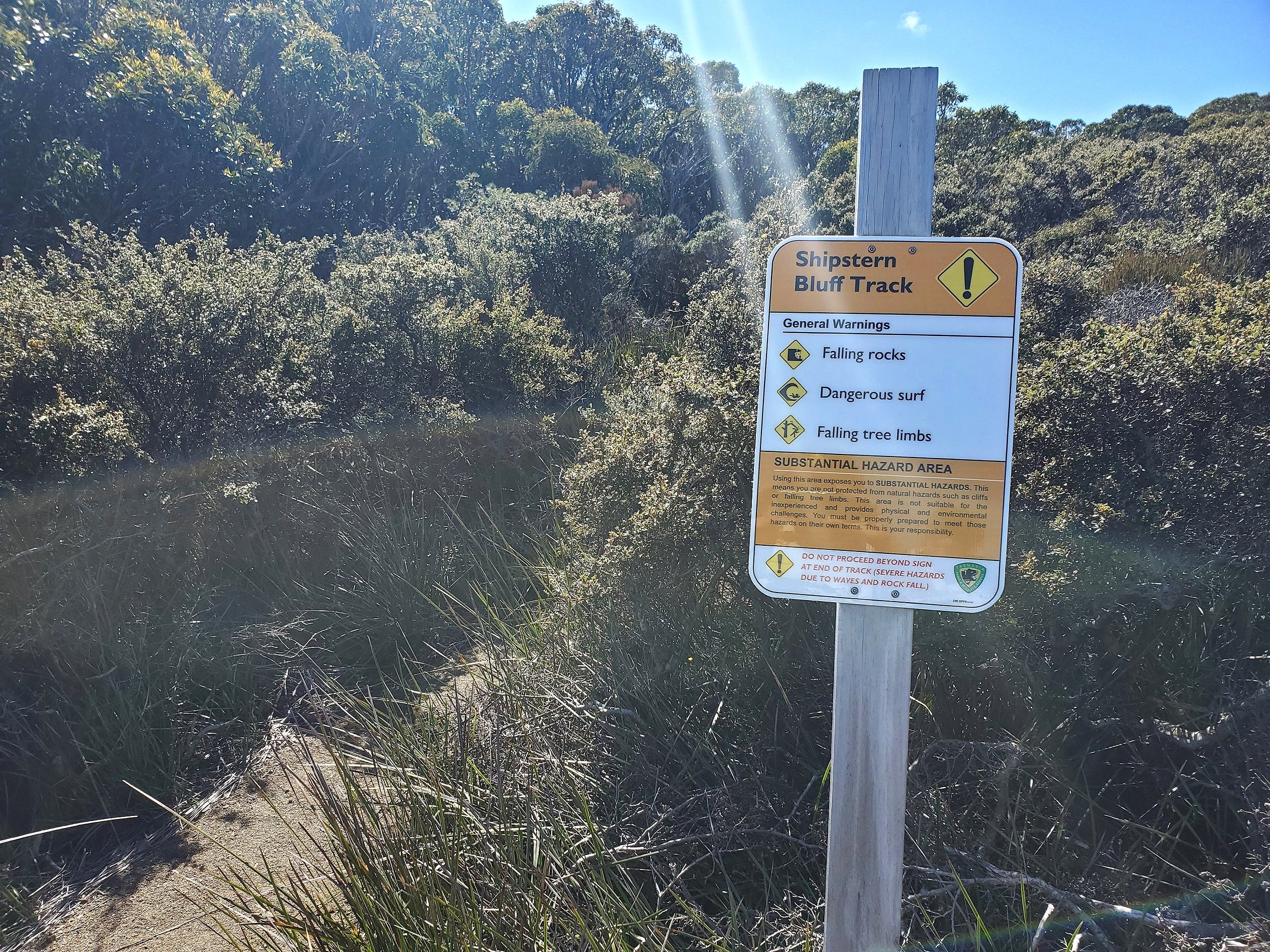
Yet more safety signage.
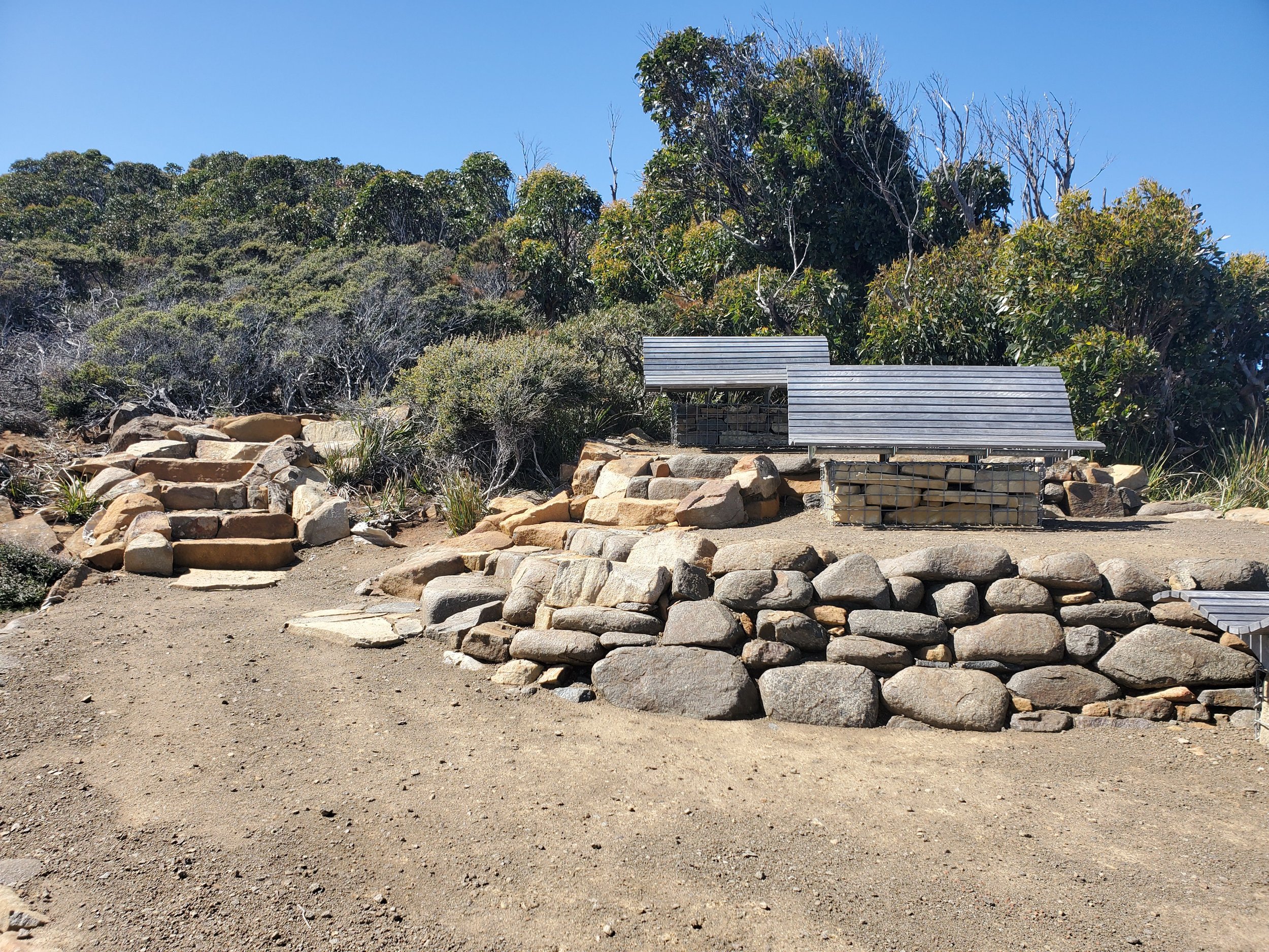
And some new, surfer themed seating.
All in all, some worthwhile new features that add to the walk experience. Well done Tassie’s National Parks Service.
I’ll now hand you over to the original text from 2017 to give a bit more description of the walk.
The Walk (Original Post)
On a visit to Tassie brother Pete was keen to check out Shipstern Bluff on the Tasman Peninsula. As a lifelong surfer he’d heard a lot about “Shippies”, as it’s known. Its reputation as a big wave break ridden by only the gutsiest of surfers has spread world-wide. If you want a sample of what I’m talking about click here.
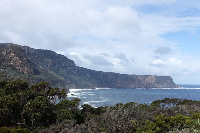
Shipstern Bluff is, in reality, an imposing cape that juts out into the Southern Ocean in the south of Tasmania. It gets its name from its shape which resembles the stern of a ship.
tasman peninsula sea cliffs
The Tasman Peninsula is a rugged place with some of Australia’s highest sea cliffs at 300 metres. This spectacular location has always drawn tourists but increasing numbers are coming to experience the Three Capes Walk.
cape raoul from shippies
Moving from east to west the capes are Cape Hauy, Cape Pillar and Cape Raoul. The next “cape” along the coastline is Shipstern Bluff. Whilst it isn’t officially part of the walk it can be done as a sidetrip.
stormleas road car park
We started the walk to Shippies from the car park at Stormleas Road on a cold September day. It was apparent from the outset that a fair bit of work had been done to improve the track since our last visit some years earlier. This is as a consequence of its proximity to the Three Capes Walk – the first part of which is a shared track that splits after a while with one path going to Cape Raoul and the other to Shippies.
shippies track
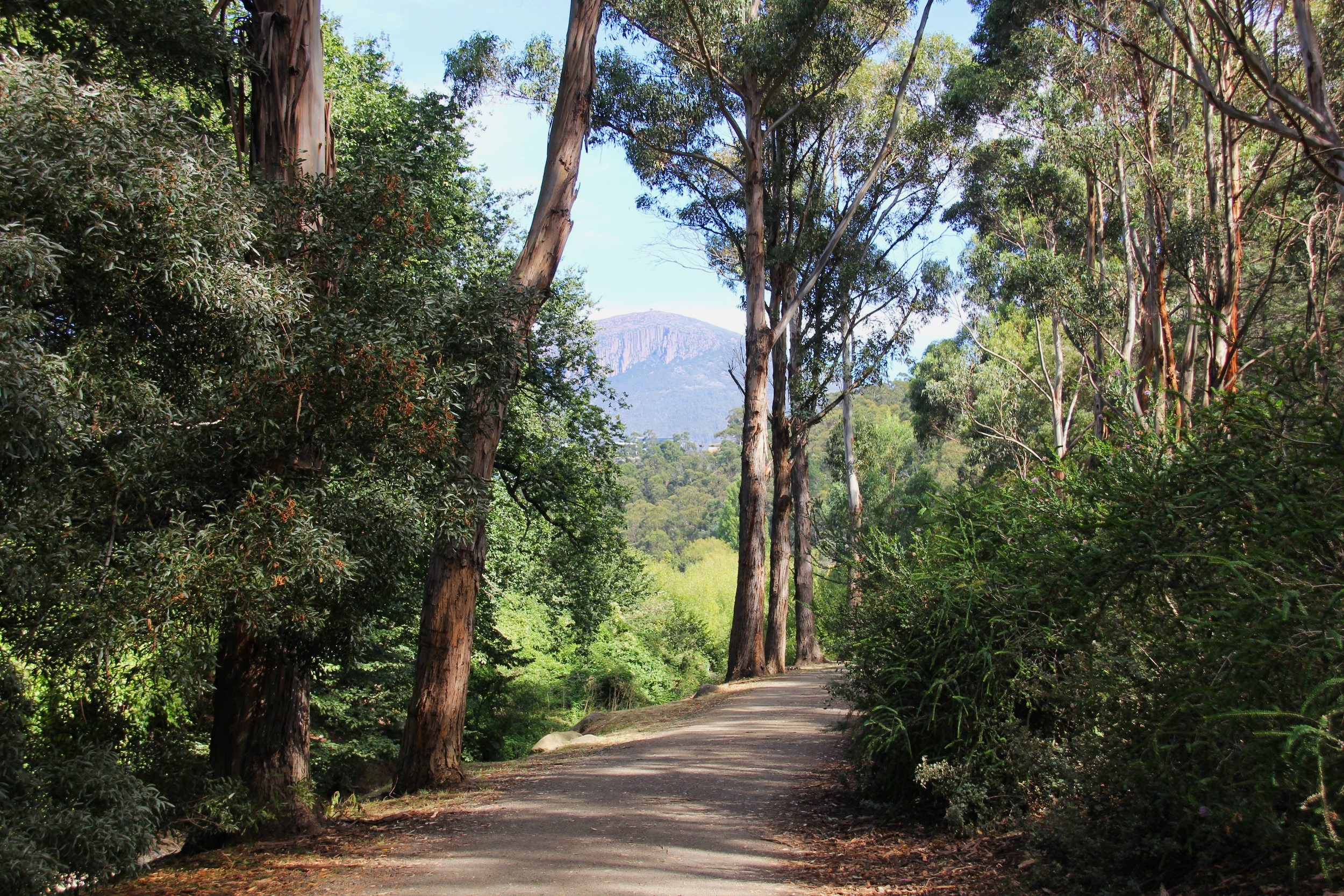
There’s a little bit of up and down at first, but overall, it’s not too demanding. After 2.2kms of walking through mostly eucalyptus forest we reached a viewpoint where we got our first sighting of Shipstern Bluff (see banner shot at the top of this post) .
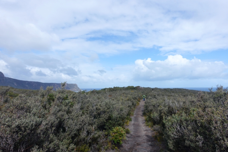
coastal heathland
From here we gradually descended until we found ourselves walking through tea tree, heathland and banksia scrub and finally to the ocean’s edge.
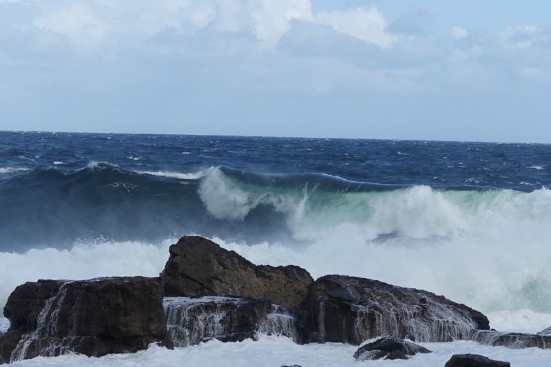
It was cold and windy, and the surf was sloppy with little to entice surfers. Cally and I had seen it a few years earlier with surfers being towed in on jet skis to ride thumping 3 metre waves. Quite spectacular, but alas, not today.
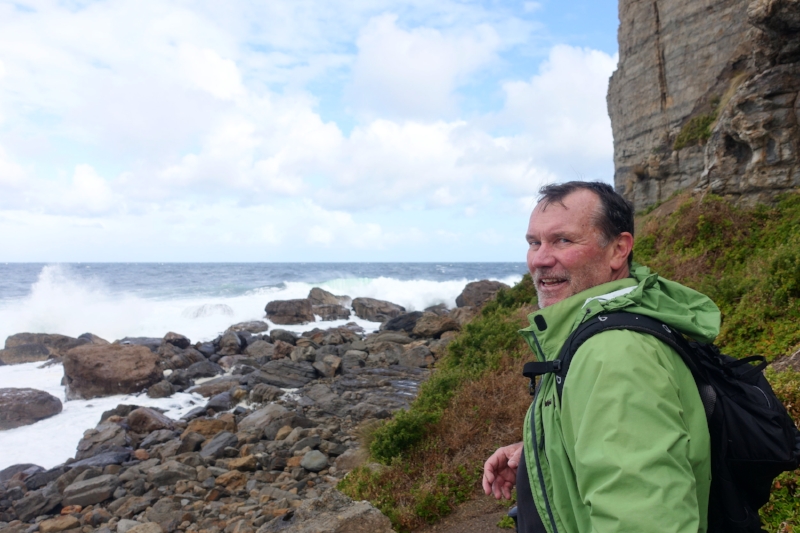
pete at shippies
Nevertheless, Pete was pleased. He’d now been to Shippies and had a better sense of its isolated, windswept and dramatic location.
We returned via the same route. The total walk was 3 hours. For more detailed track notes we recommend the TasTrails website..........Click here.
Ken
