Alum Cliffs Track, Hobart
/
It was a lazy, early spring Sunday morning and we wanted to get a bit of exercise. As we looked across the Derwent River from our home towards kunanyi/Mt Wellington, we contemplated the possibility of walking one of the myriad tracks that cover the mountain. Inevitably, the heart gets pumping when walking those often steep trails. The thought was enough to make our knees ache at the prospect. No, not the mountain today, we wanted something a little more sedate. We settled on the Alum Cliffs track, which begins near Kingston Beach in Hobart’s southern suburbs.
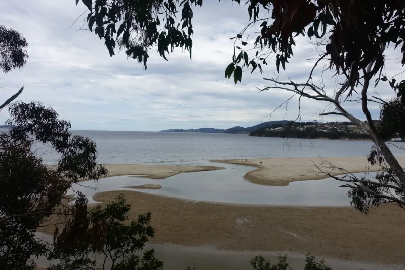
brown's rivulet. kingston beach (right) and tyndall beach (left)
This is a 6 km return coastal walk with some good views of the river and cliffs. The starting point is Tyndall Beach, which is a dog-friendly beach on the northern side of Browns Rivulet across from Kingston Beach.
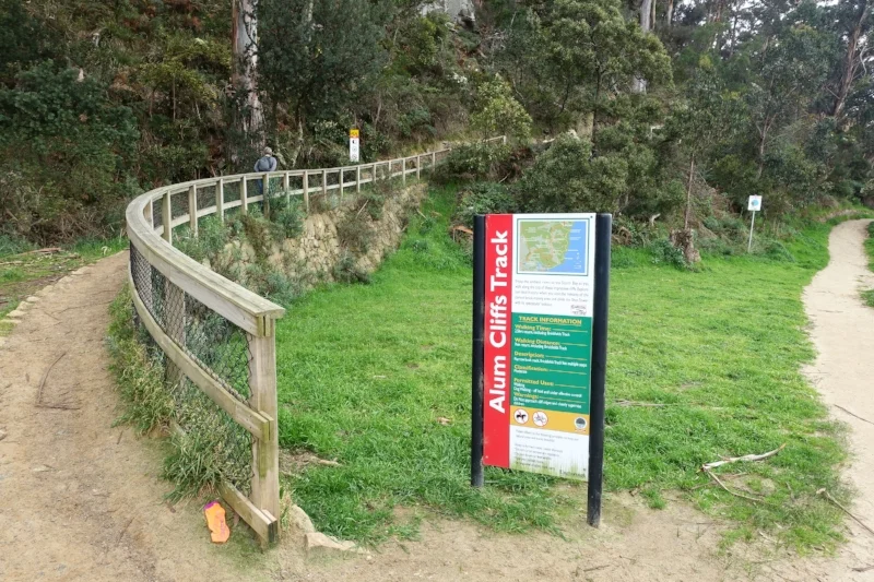
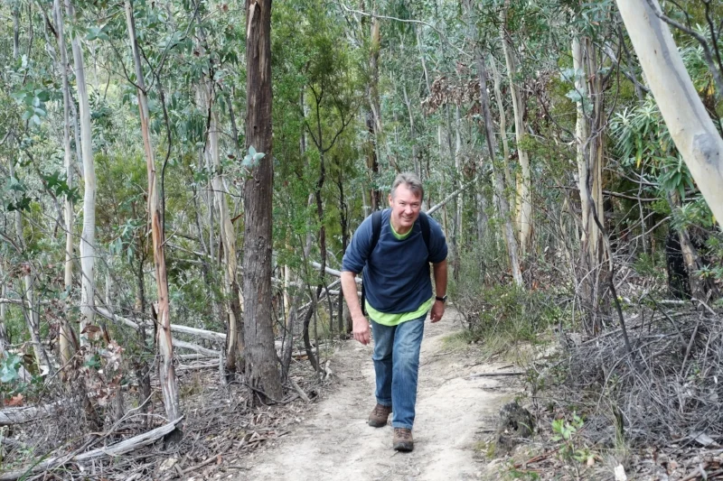
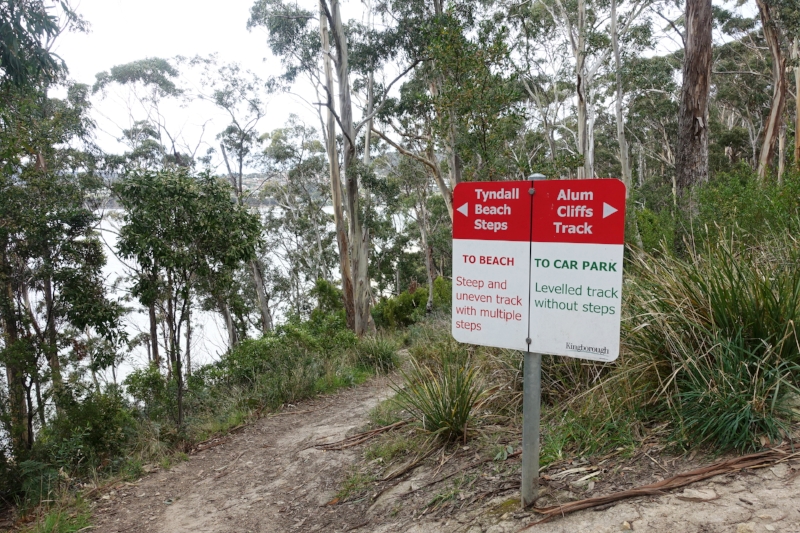
We parked at Kingston Beach and made the short walk to the start of the track. The beginning is well signposted and you have two choices – you can head up a track on the left which gradually climbs the hill or you can continue along Tyndall Beach with the many fidos until you reach a steepish track with steps on the left that joins the main track. We took the gradual track going and returned via the stepped trail.
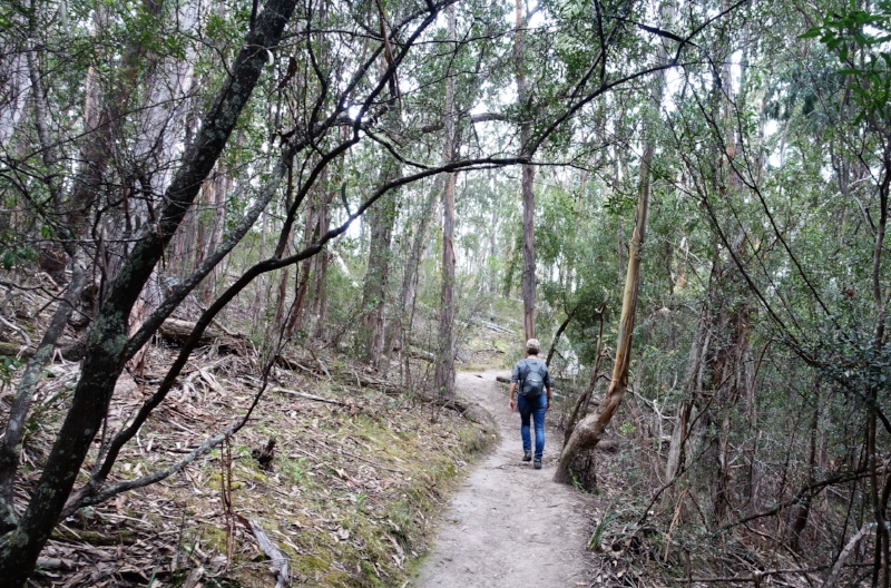
heading up the grade
After a gentle climb the track levelled off. It moved through a number of shaded gullies filled with ferns.
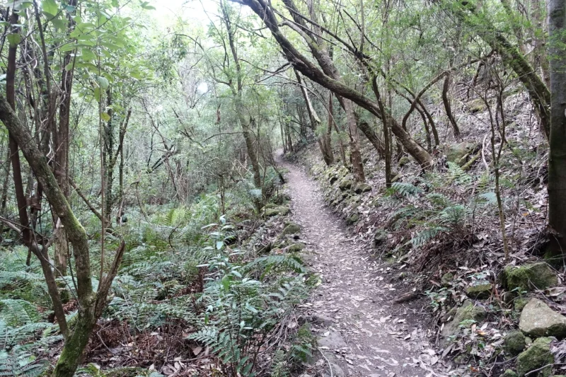
shaded fern gully
In some places the track opens out.
Much of the walk is through blue gum forest, with abundant banksias.

blue gum forest
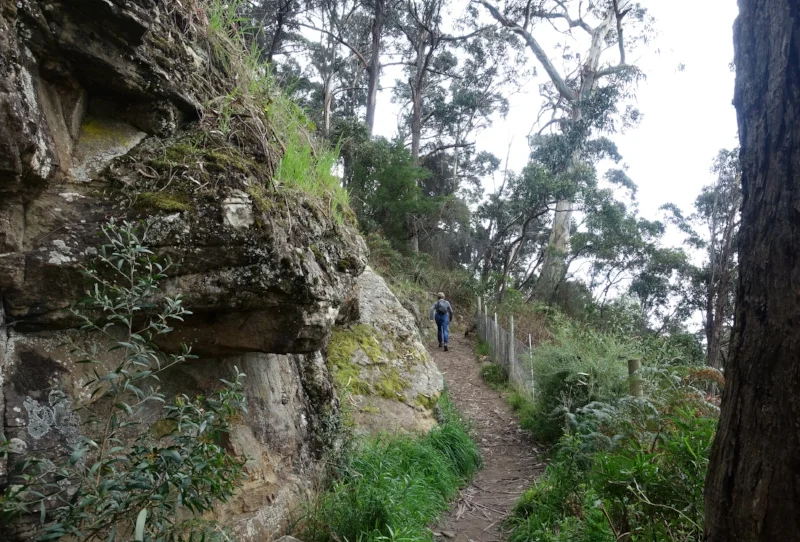
There are some ups and downs which did get us puffing a bit, but nothing too difficult.
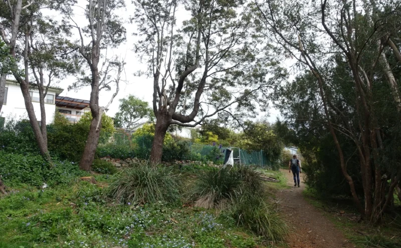
In places the track moves along the fence line of local houses.
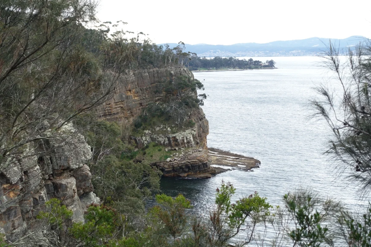
There are a couple of lookouts with good, framed views of the Derwent and cliff faces which give the track its name. Alum is a compound used in dyeing and tanning that is found in the cliffs.

At around the three quarter mark a sign-posted side track points to Brickfields, which links to the Channel Hwy. In the 1840’s a convict probation station, which housed 370 prisoners at its peak, was located here. Its main function was to build the road between Hobart and Browns River (Kingston), which today is the Channel Hwy. The nearby Shot Tower was erected from sandstone from the probation station after the station was closed in 1851 having completed its road building task. The 58m high tower was built in 1870 for the production of lead shot, and was Australia’s tallest building at that time.

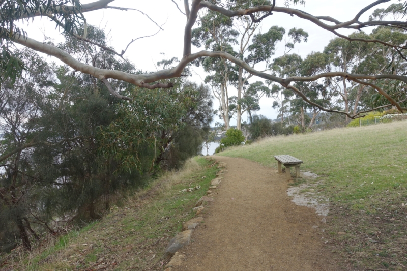
The track finishes with a lookout loop with more nice views.
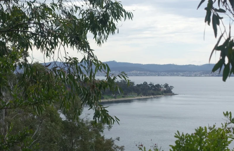
view from the loop lookout looking north
The Kingborough Council website has good notes and a map for the track. Here is a link to it. While the map shows the track ending at the loop, it has now been extended to go all the way to the Shot Tower.
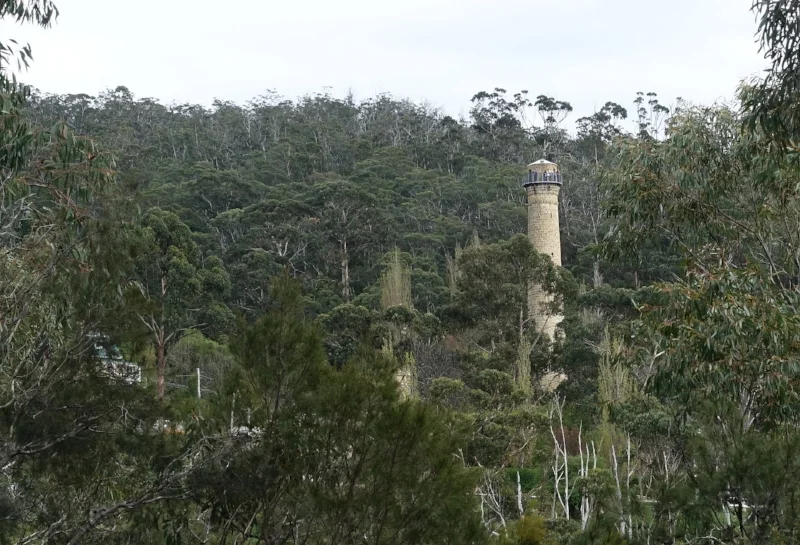
view of the shot tower
We returned by the way we had come apart from the diversion down to Tyndall Beach via the aforementioned side track and finished with a leisurely stroll up Tyndall Beach.

the steps down to tyndall beach
The walk took us 2 hours and met our criteria of “a bit of exercise, but not too strenuous”.

northern end of tyndall beach
Ken and Cally